
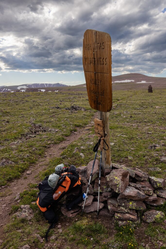
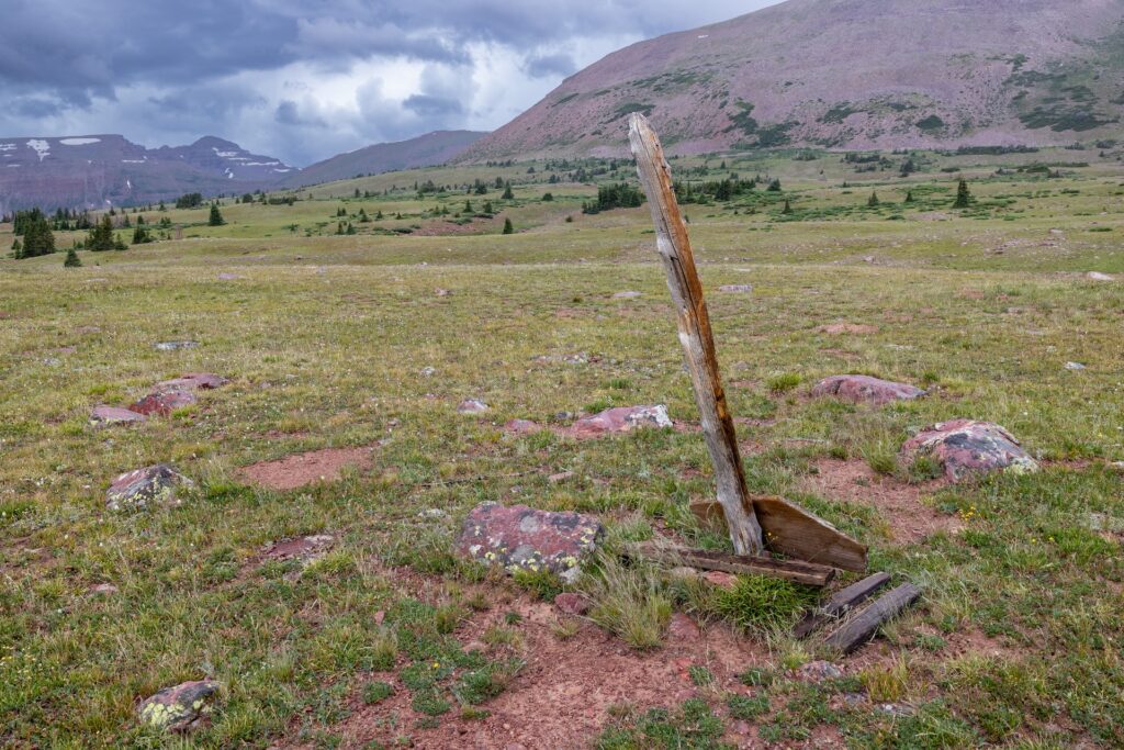
The discovery of skeletal remains on the slopes east of Allsop Lake in the High Uintas Wilderness in 2016 answered a question that’d lingered for five years: where was Eric Robinson?
However, the location did not at first make sense in the context of Eric’s 2011 disappearance. He’d traveled from his home in Australia to solo hike the Uinta Highline Trail, but the place where his bones and backpack came to rest was not along that trail.
Eric’s wife, Marilyn Koolstra, received a package in the mail several weeks later containing the contents of her late husband’s backpack. Eric had carried a camera, a Pentax K10 DSLR, on his trek. Marilyn found it in the box.
“I remember getting the camera, picking it up from the whole box of things that were returned,” Marilyn said. “And I got that memory card.”
The camera’s SD card survived five years of exposure of summer heat and winter snow. The images Eric captured were preserved, a time capsule of his ill-fated walk through the wilderness.
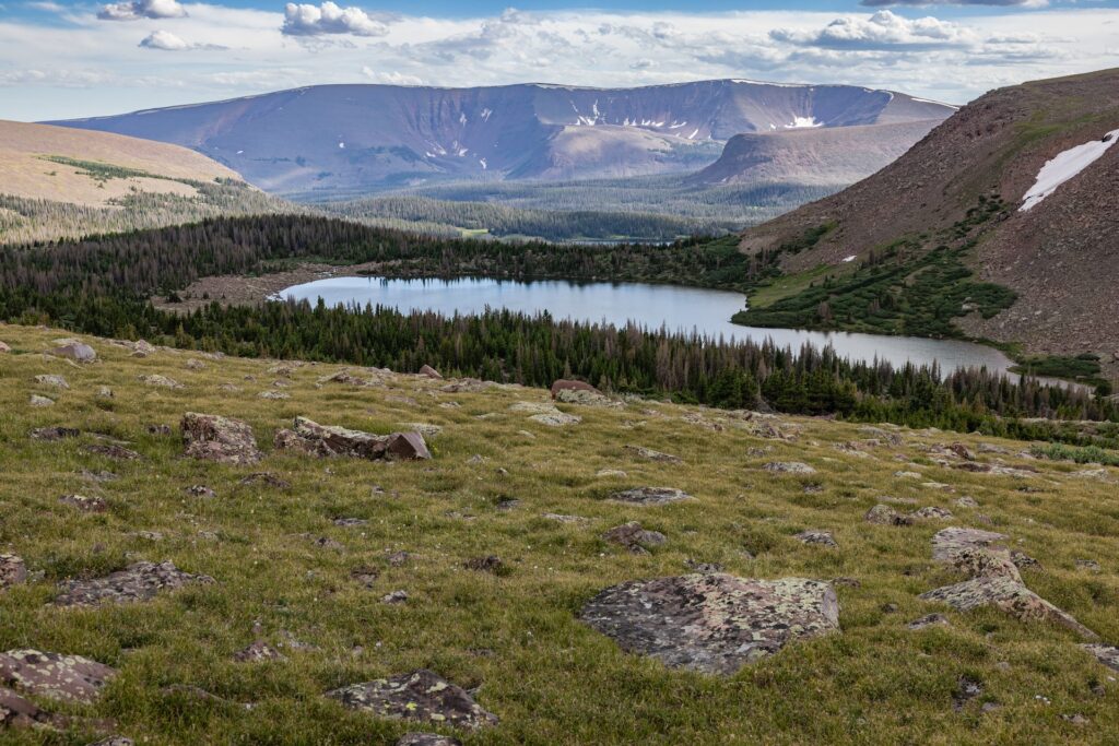
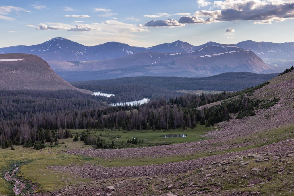
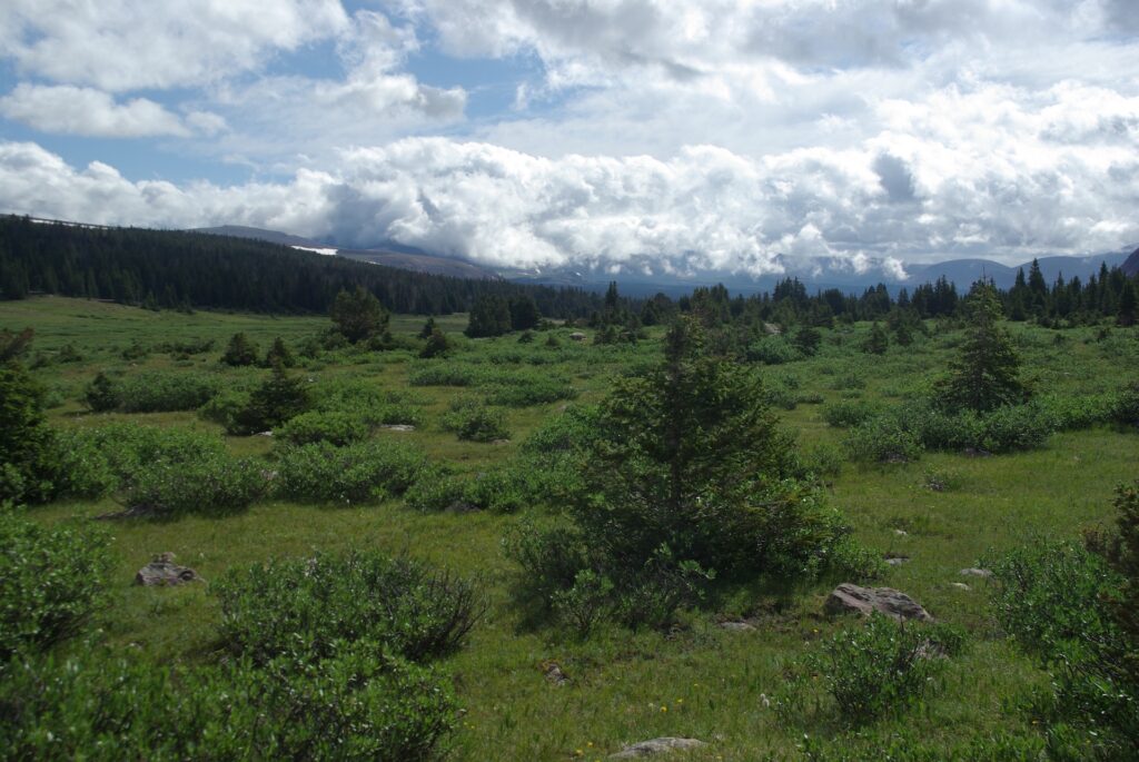
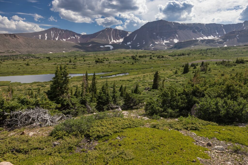
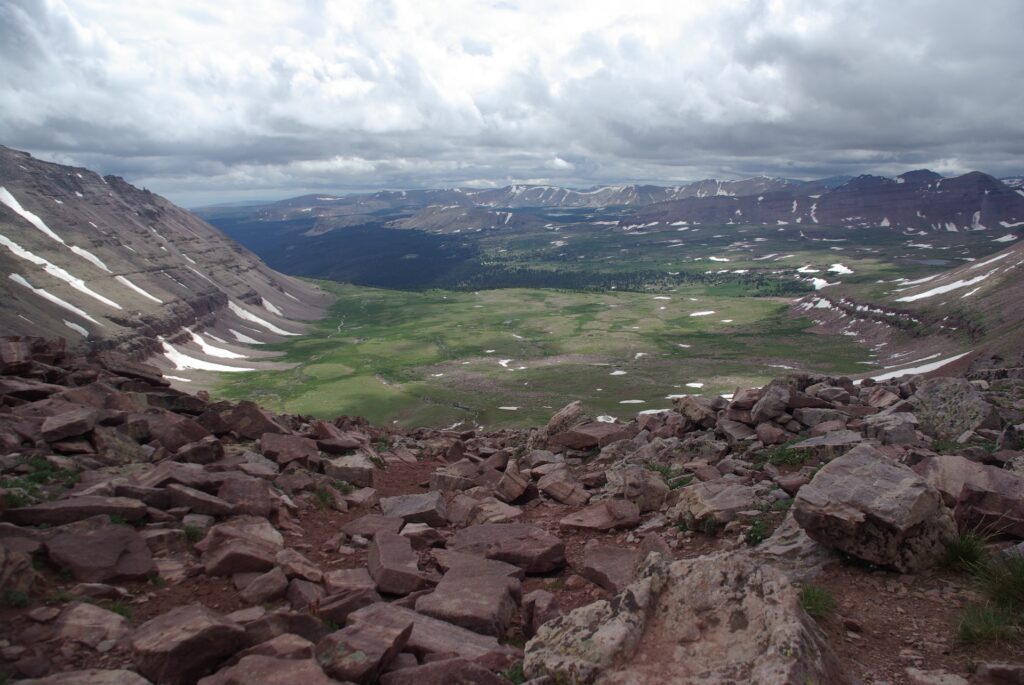
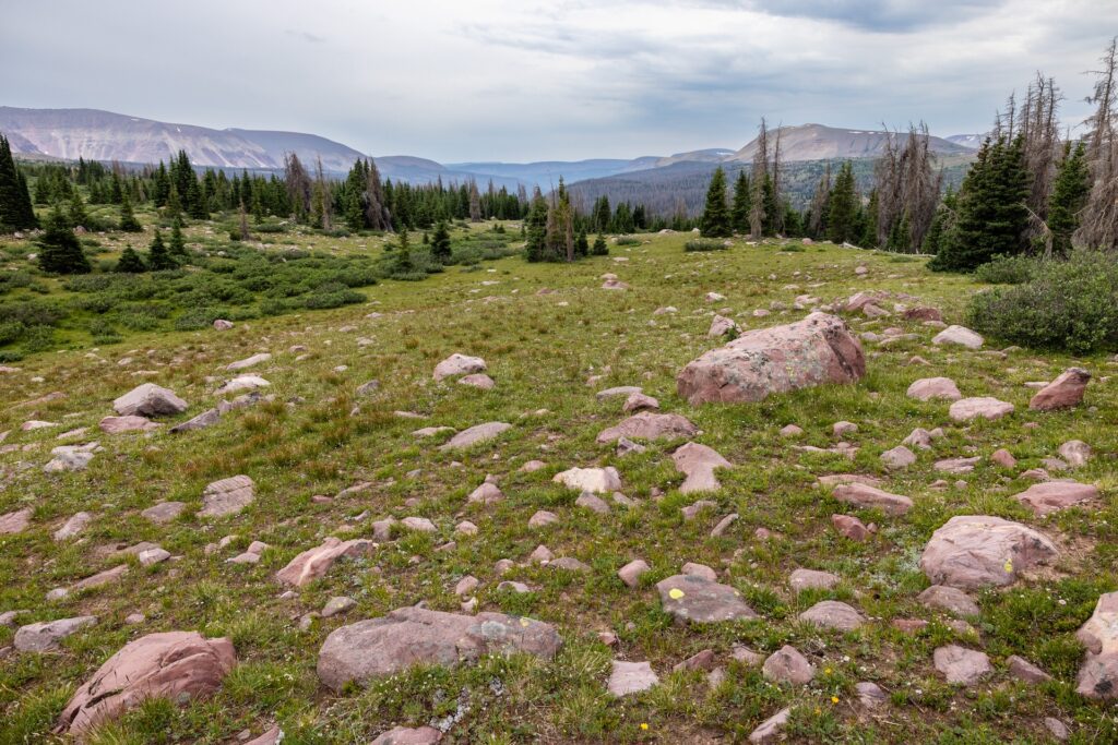
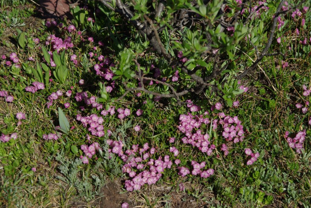
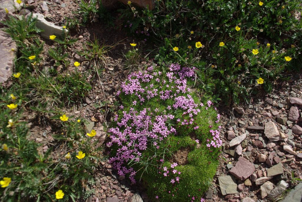
“It just showed the beautiful remoteness of the Uintas,” Marilyn said. “I understood why he wanted to walk there and experience that.”
What Eric Robinson’s pictures reveal
Marilyn had not traveled the Uinta Highline Trail herself, having only briefly visited a meadow along the trail in 2011 at the conclusion of an official search for Eric. She was unable to identify locations or landmarks depicted in Eric’s images.
KSL approached Marilyn in 2019, asking if she would agree to share the images so that they might be analyzed and, if possible, geolocated. Because the photos were digital, they included timestamps in metadata. Determining both a location and date/time for each image would allow a person with knowledge of the High Uintas Wilderness to draw conclusions about Eric’s experiences in his final days.
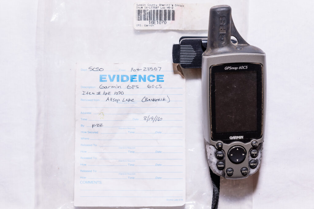
Marilyn agreed, and also provided data retrieved from a Garmin GPSmap 60CS device Eric had carried on his hike. The GPS data was stripped of timestamps upon export from the device, somewhat limiting its value.
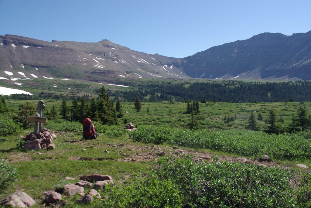
In 2023, KSL investigative reporter Dave Cawley conducted an 8-day solo hike on the Uinta Highline Trail, with the intent of recreating as many of Eric’s photographs as possible. This analysis revealed Eric Robinson remained on the Uinta Highline Trail during his trek, with only two notable diversions. These are detailed later in this article.
A note about rephotography
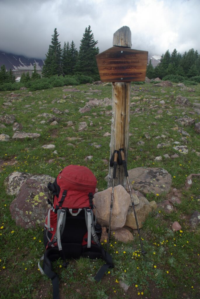
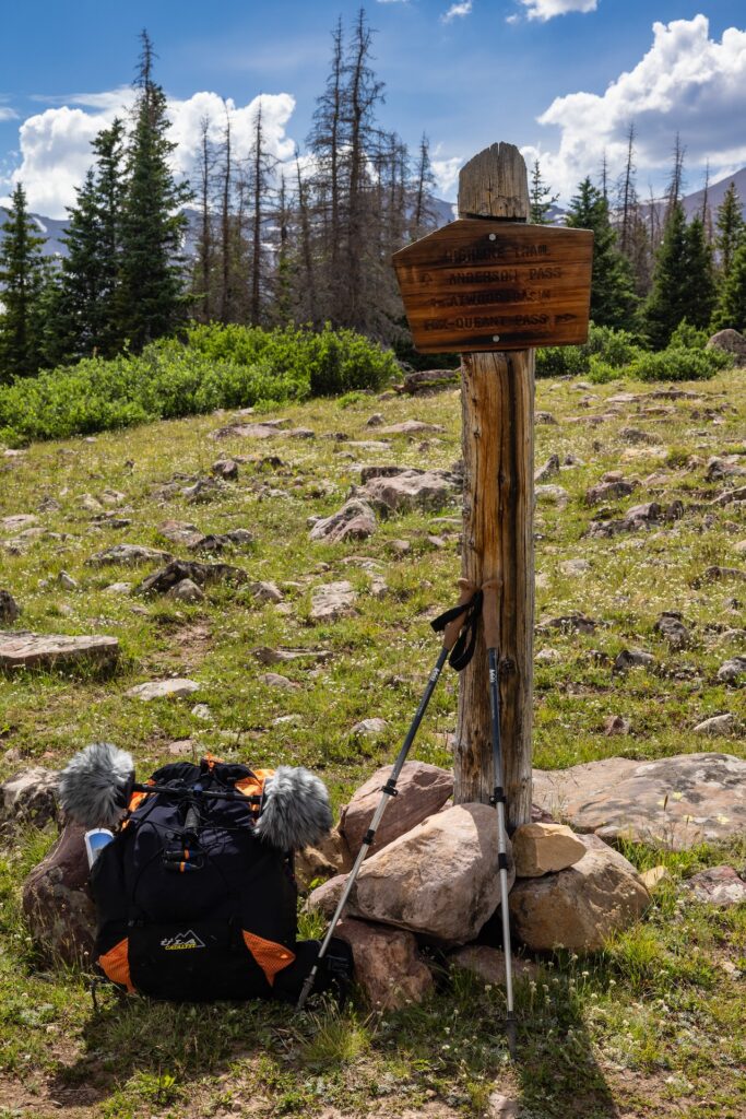
Rephotography, or repeat photography, is the process of taking matching sets of images from the same location over a span of time. Positions in some of the image pairs presented here are precise to within a matter of centimeters, while others are more general. Minor differences are in some cases a result of mismatched camera settings (ie. focal length and aperture).
Eric Robinson’s camera gave the image files numerical file names. The photos are referenced by those numbers in this article. The originals have been reduced in resolution, but are otherwise unedited. Times of day listed in each caption were drawn from metadata embedded in the image files by the camera. The Pentax camera’s internal clock appeared to be set to Australian Eastern Standard Time, 16 hours ahead of Mountain Daylight Time (MDT). Times listed in the captions have been adjusted to the MDT time by subtracting 16 hours from the time indicated in the metadata.
All images captioned “2023 match” were captured by Dave Cawley using either a Canon R5 and RF 24-70 ƒ2.8L lens or an Apple iPhone 14 Pro.
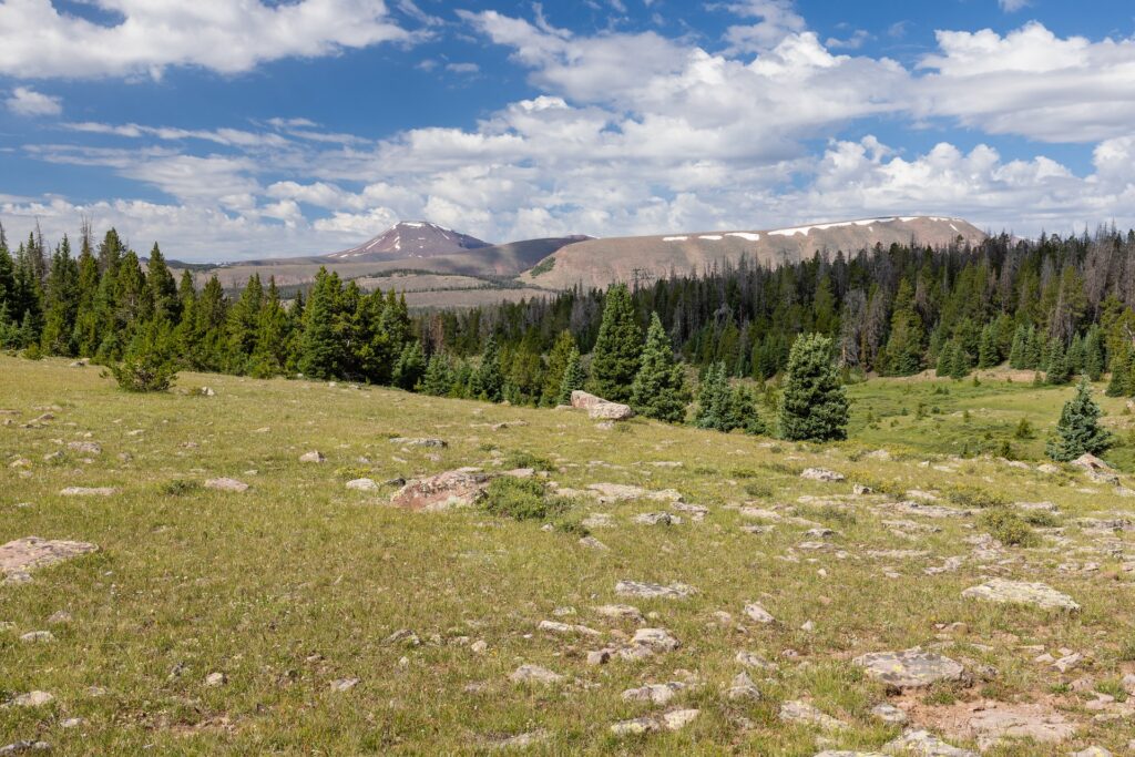
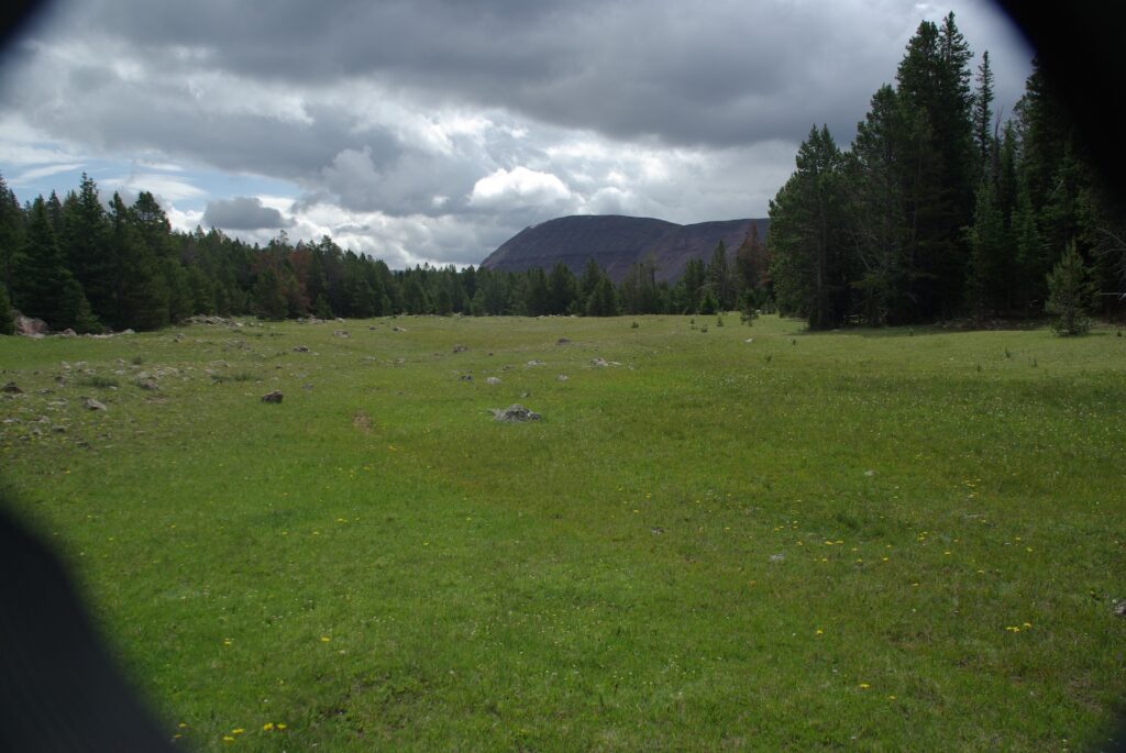
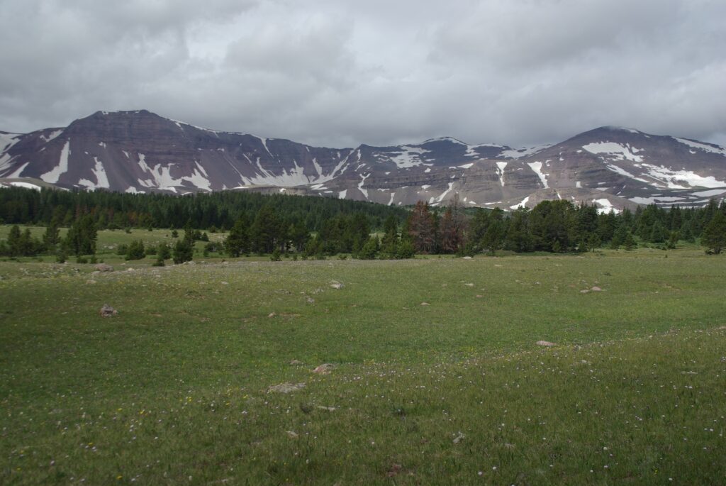
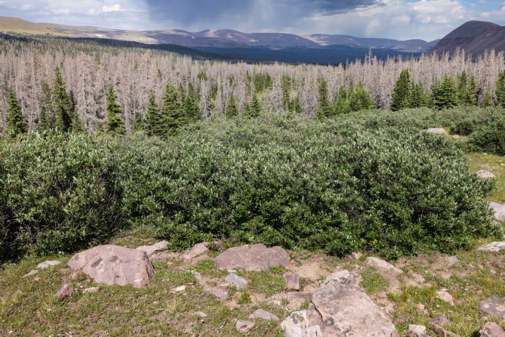
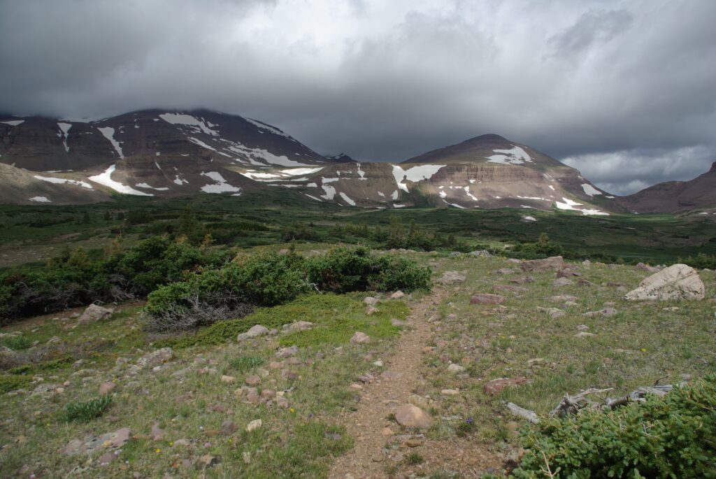
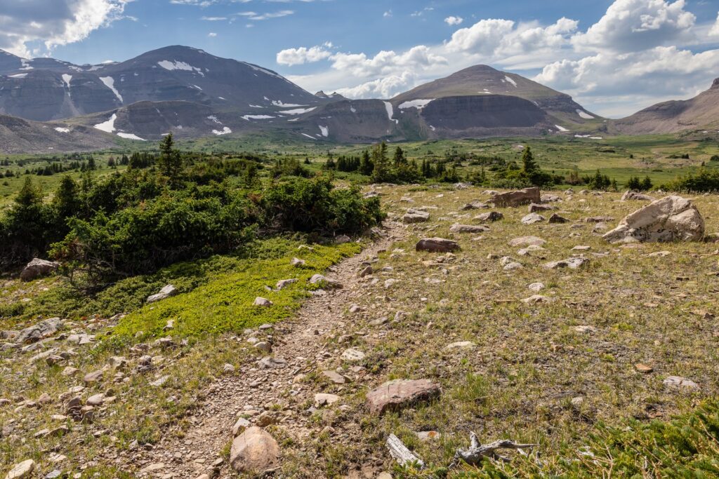
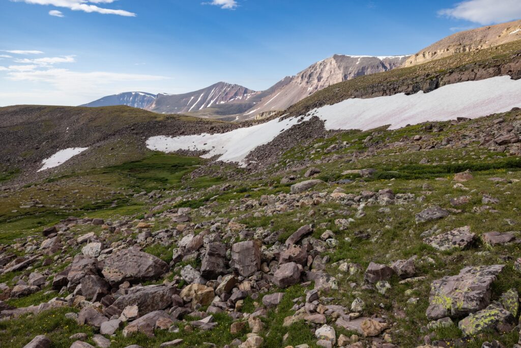
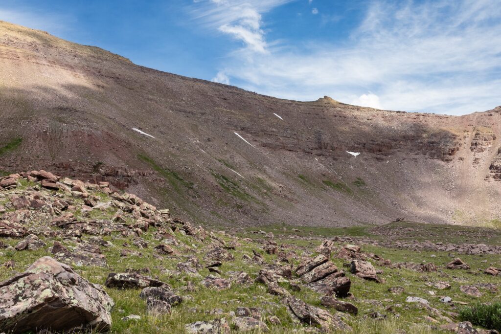
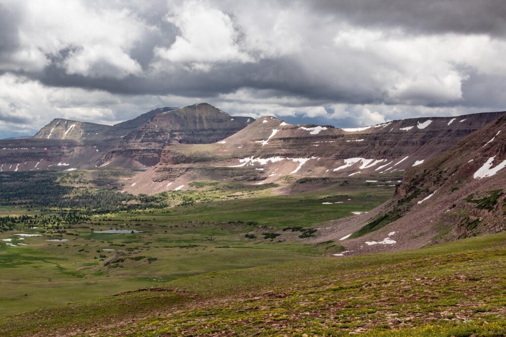
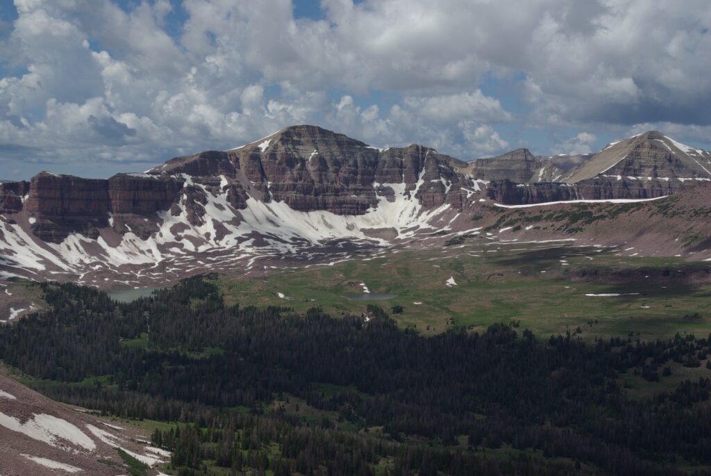
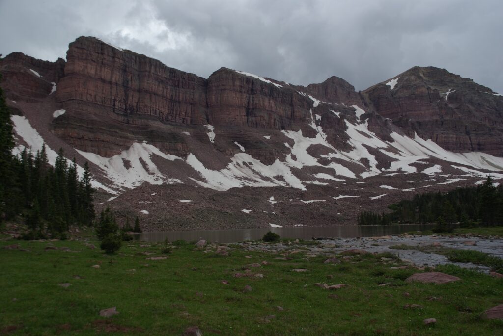
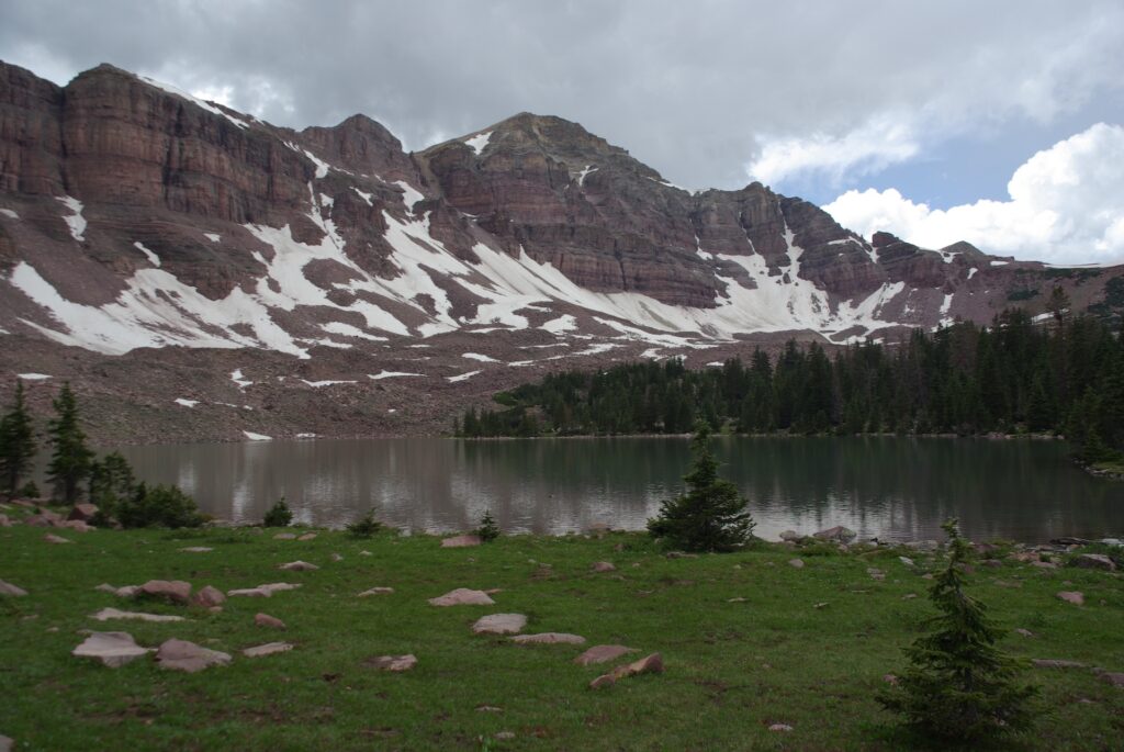
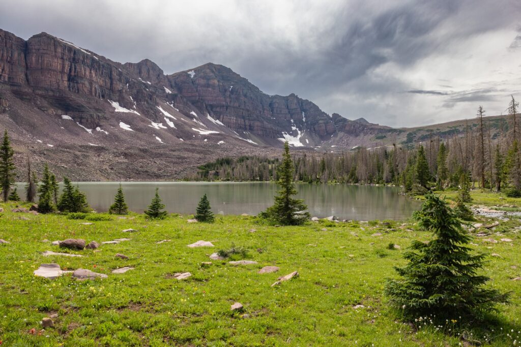
The Uinta Triangle rephotography project not only uncovered previously unknown details about Eric Robinson’s last hike, but it might also have scientific value, by revealing changes to the overall health of the forest ecosystem in the Uinta Mountains. Several of Eric’s 2011 photos seem to show healthy pine stands across the Uintas, while their 2023 matches reveal significant tree mortality in just the space of 12 years.
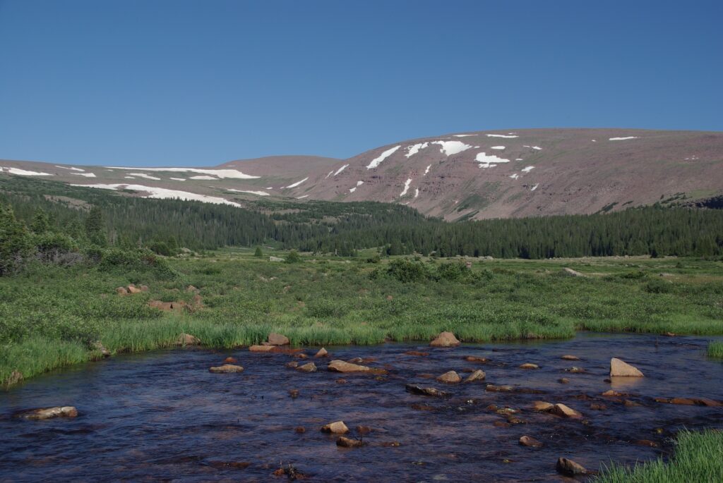
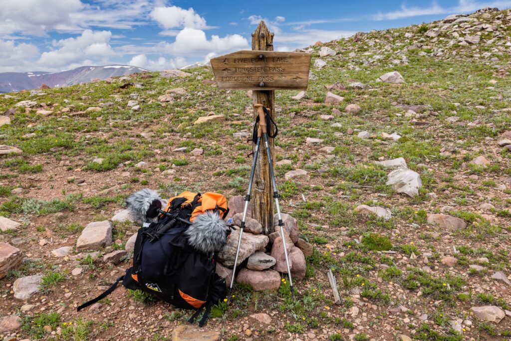
Day 1 – July 28, 2011 – Chepeta Lake Trailhead


Eric’s photographs show he departed on his solo trek early in the afternoon on this date. He’d hired a guide/outfitter to shuttle him from Vernal, Utah to the Chepeta Trailhead. That man is likely the person who took the two photos of Eric next to the trailhead sign.
The U.S. Forest Service replaced signage and made other changes at the trailhead sometime between 2011 and 2023, making it impossible to get an exact match of Eric’s photo.
Eric traveled just a short distance, just shy of 2 miles (~3 km) on this first afternoon before setting his first night’s campsite alongside the Uinta Highline Trail.
Also of note, there was no image numbered 5266 on the SD card from Eric’s camera. This is likely a result of Eric deleting that picture from the memory card. It is the only such instance of a missing image in the entire sequence.
Day 2 – July 29, 2011 – Crossing North Pole Pass


Because 5269 does not show any identifiable landmarks, it could not be replicated in 2023.

Because 5273 does not show any identifiable landmarks, it could not be replicated in 2023.

Due to a technical error, 5276 was not replicated in 2023. However, personal observation confirmed Eric Robinson captured this view from the Uinta Highline Trail.

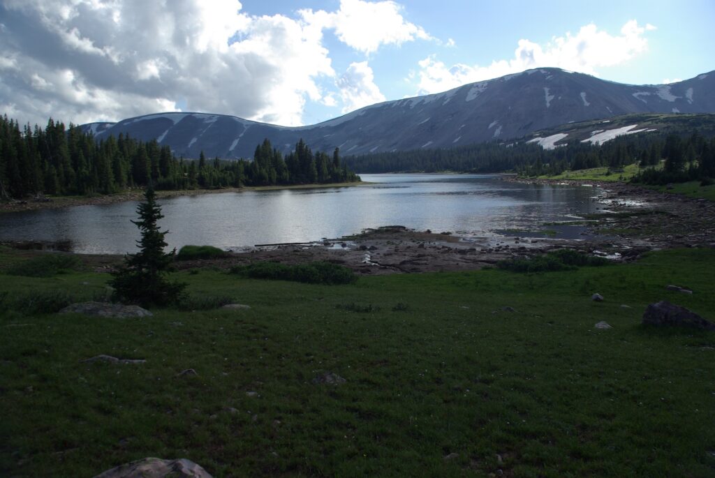
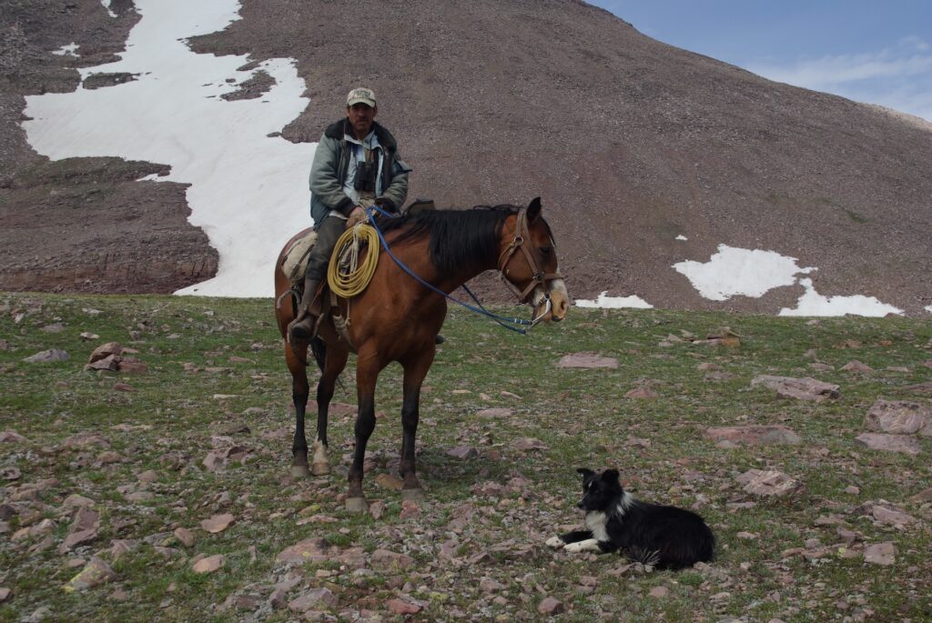
Eric Robinson set his night two camp near the northeast shore of Fox Lake. This location is known because a pair of hikers spoke to Eric there the following morning. They took a photograph of Eric, shown below. It is the last known image of Eric.

Day 3 – July 30, 2011 – Fox Lake to Gilbert Creek


Eric Robinson did not take any photographs on this date after 10:08 a.m. GPS data suggests he remained on the trail while proceeding to Gilbert Creek, where he made his third night’s camp.
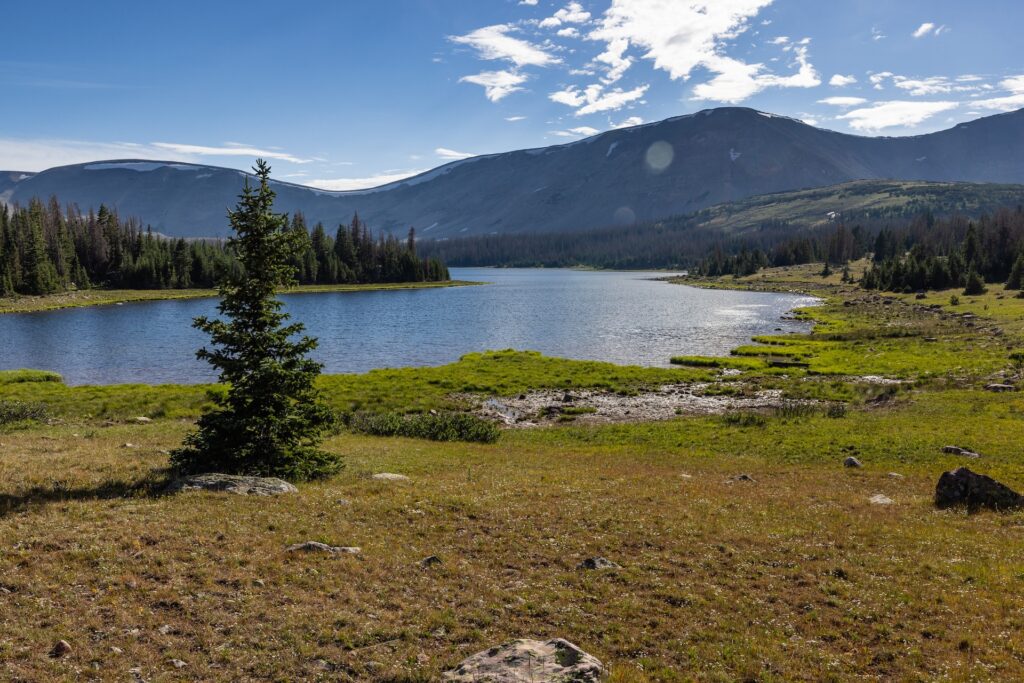
Day 4- July 31, 2011 – Gilbert Creek to Painter Basin


Because 5288 and 5289 do not include any identifiable landscape features, they could not be replicated in 2023.
Day 4 proved to be an anomaly on Eric’s trek. He made very short progress, only about 3 miles (5 km), before stopping and making camp along a stream at the eastern edge of Painter Basin. Heavy overcast on the western horizon visible in some of Eric’s photos raise the possibility he might’ve needed to shelter from storms and decided the weather did not favor crossing Anderson Pass.
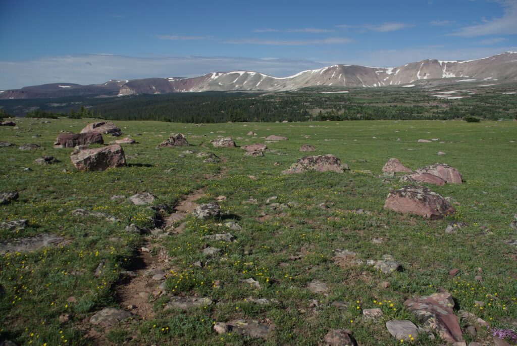
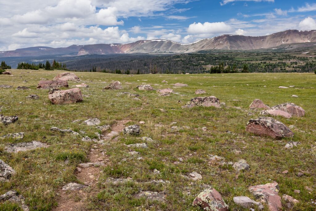
Day 5 – August 1, 2011 – Crossing Anderson Pass


Because 5296 does not include identifiable landscape features, it could not be replicated in 2023.


Because 5300 does not include any identifiable landscape features, it could not be replicated in 2023.


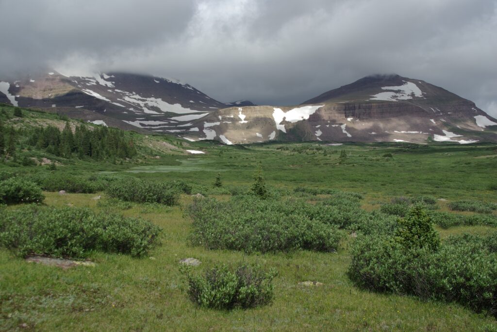
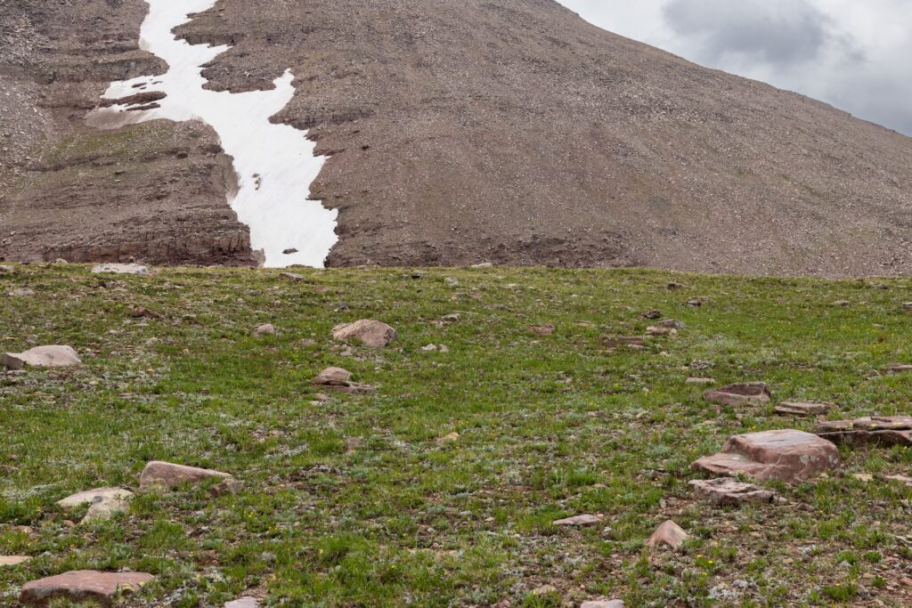
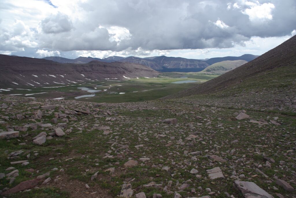
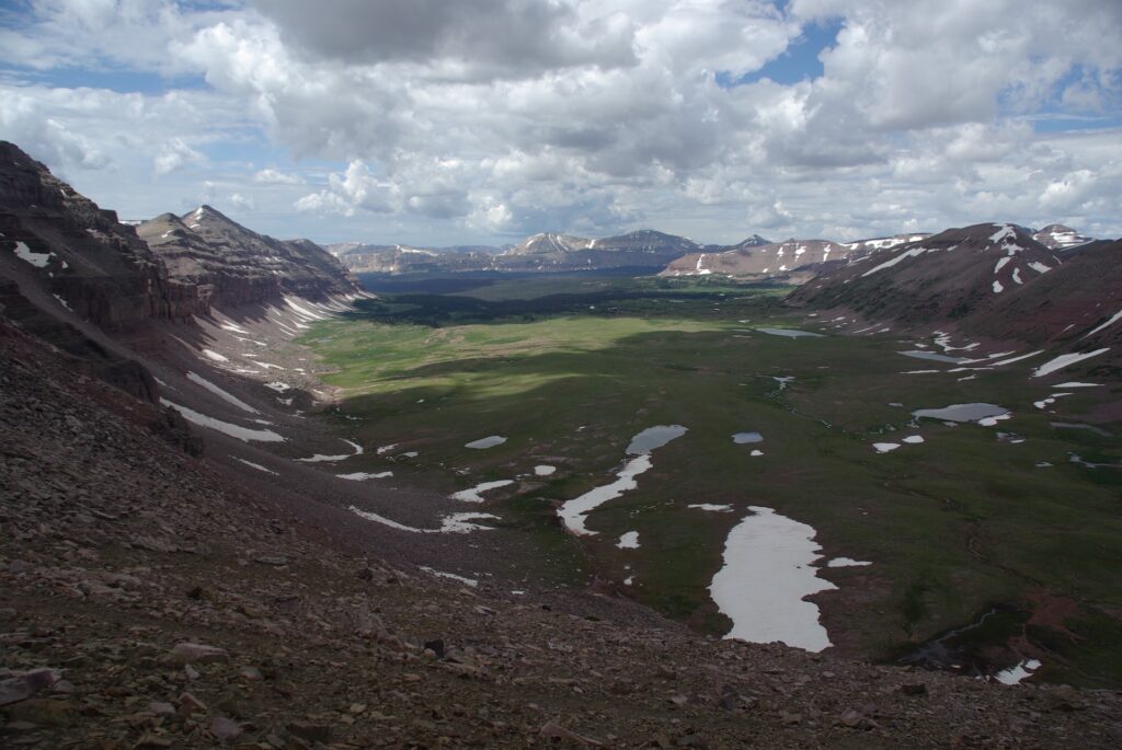
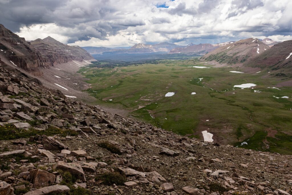
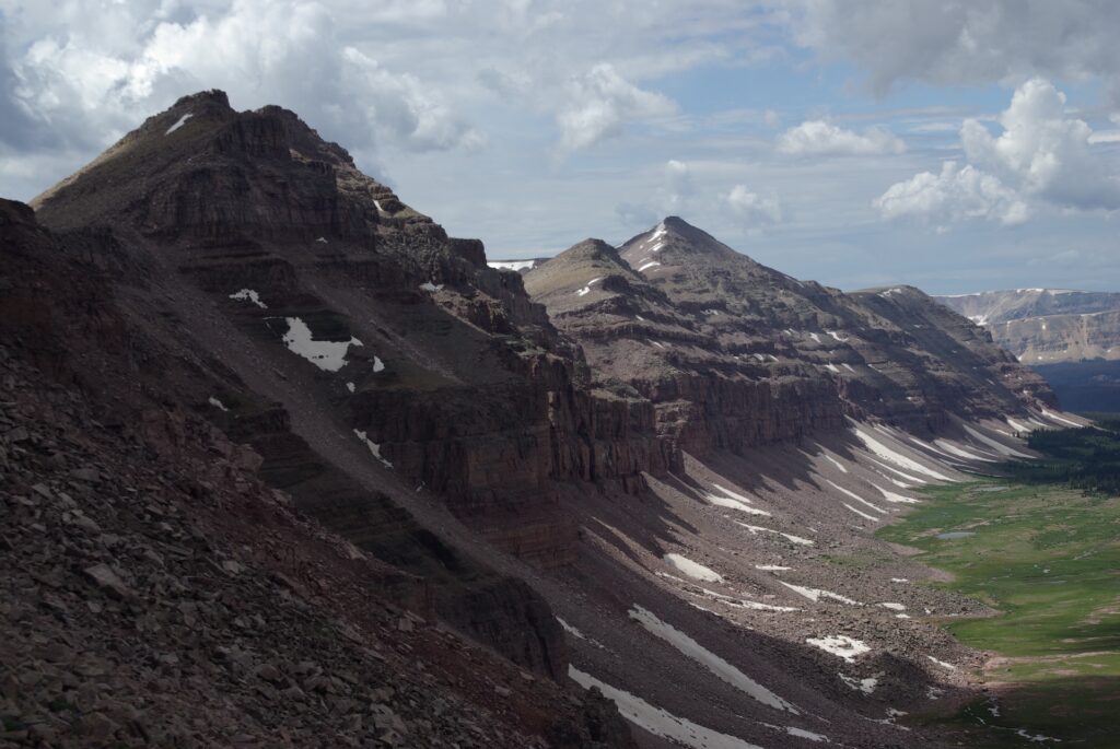
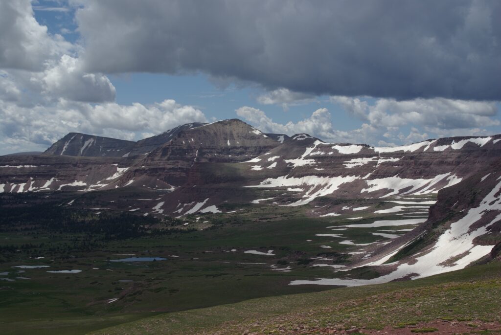
Anderson Pass is the highest point on the Uinta Highline Trail. Eric Robinson spent the entirety of his fifth day crossing it. His final photograph for the date, 5304, is critical to understanding his actions on day 6.
The Uinta Highline traverses high along the headwall in this image. Eric encountered an abnormal amount of snow there for the date in 2011, a result of both a heavy snowpack the prior winter as well as a delayed start to the melt. The drift at top center of Eric’s image 5304 covered the trail, forcing him to abandon the trail scramble down through the cliffs below.
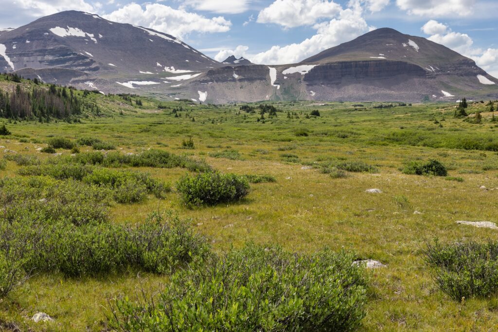
Locating 5304 in the field proved difficult, as the Yellowstone cirque is quite large and littered with boulders that all share a similar appearance. The key to locating it was identifying a small cairn that someone had built atop the little hill in the left foreground (not visible in the image). It is likely Eric mistook that cairn for a trail marker and headed toward it upon reaching the floor of the cirque.
GPS data indicates Eric walked southwest from this point. Personal observation revealed the presence of a faint, unofficial footpath in this vicinity. It is likely Eric followed that path, incorrectly assuming it was the Uinta Highline Trail, until the footpath faded out near timberline. At that point, GPS data showed Eric turned north and headed in the direction of the actual Uinta Highline Trail, stopping just short of it to set camp.
Day 6 – August 2, 2011 – Diversion down Yellowstone Creek


Because 5307, 5308 and 5309 did not include any identifiable landscape features, they could not be replicated in 2023.

Because 5311 does not include any identifiable landscape features, it could not be replicated in 2023.


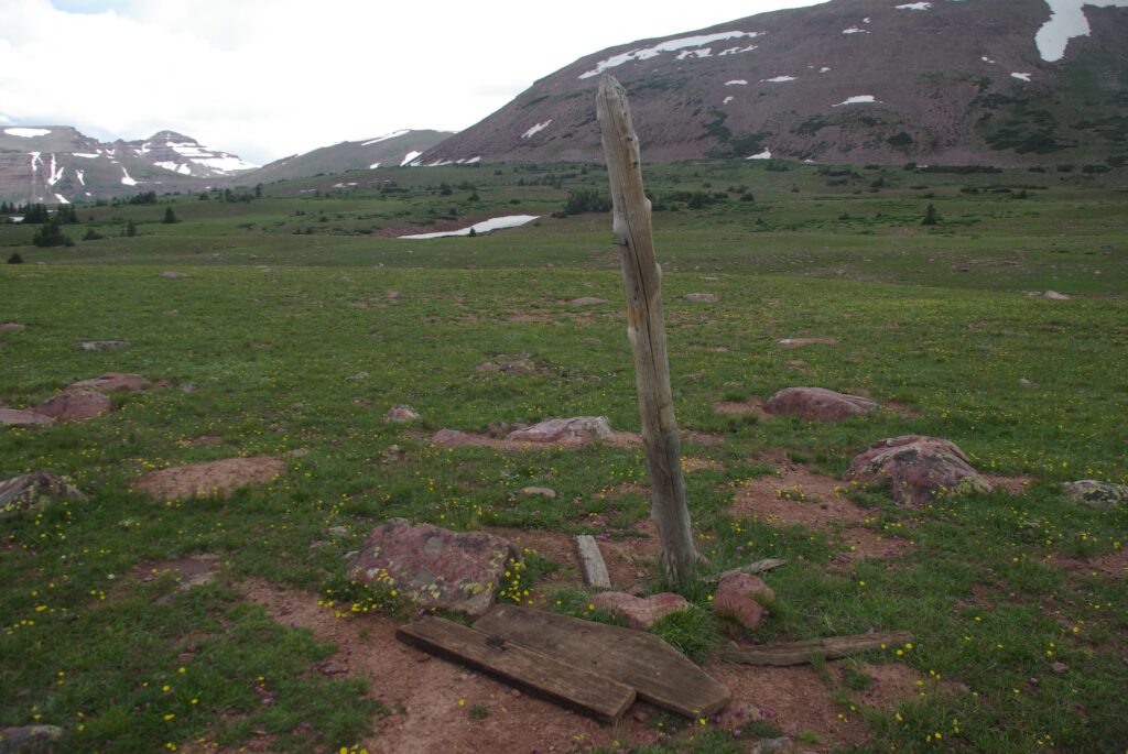
The general location of the sheepherder camp was confirmed by the presence of several structures (a small wooden shelter, hitching posts, a drying rack) and copious amounts of trash. However, the exact locations of 5314 and 5315 could not be verified in the field.


About 45 minutes after taking photo 5316, Eric Robinson encountered a group of Boy Scouts at a point farther south on the Yellowstone Trail. Two adult leaders with that Boy Scout group later told the Duchesne County Sheriff’s Office that Eric recognized he was no longer on the Uinta Highline Trail and requested assistance navigating his way back to it. Scout leader Russ Alston’s account of that exchange is detailed in episode 5.
Alston said he recommended Eric return to the Uinta Highline by way of the trail along Garfield Creek, a tributary of the Yellowstone. The final photograph Eric took on this day proves he followed Alston’s advice.
Day 6 was by far the longest in both distance and time spent walking of Eric’s trek. Personal observation suggests Eric’s departure from the Uinta Highline Trail was likely an intentional decision to bail out, ending his hike prematurely in response to his harrowing, off-trail descent from Anderson Pass the day prior.
Day 7 – August 3, 2011 – Garfield Basin to Lambert Meadow


Due to the imminent threat of lightning, 5325 was not replicated in the field in 2023. However, personal observation confirmed it was taken at the same location as 5324.

Because 5326 does not include any identifiable landscape features, it could not be replicated in 2023.

Due to an oversight, 5328 was not replicated in 2023. However, personal observation confirmed it was taken at the same location as 5327.


Day 8 – August 4, 2011 – Eric Robinson’s final day


Because 5339 does not include any identifiable landscape features, it could not be replicated in 2023.

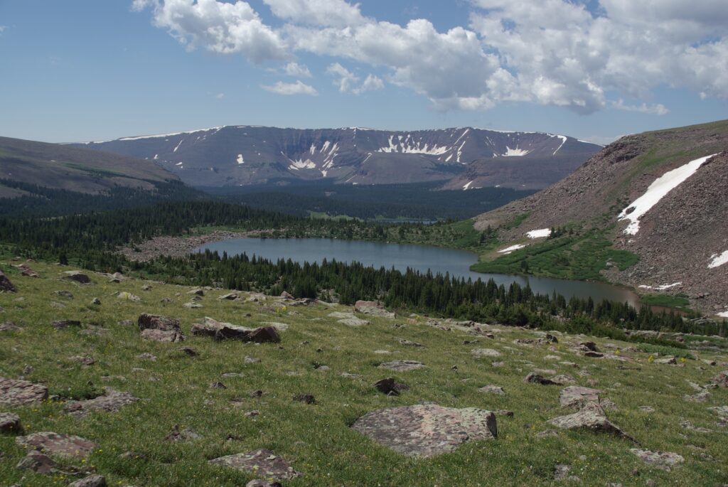
Eric’s final two photos, taken at Dead Horse Lake, do not show the route of the Uinta Highline Trail over Dead Horse Pass. However, the pass would’ve been visible to him from that vantage point. It is conspicuous that he did not photograph the pass itself, suggesting he might have mistakenly believed it ascended up the slope adjacent to point 12,642, rather than the actual location at a lower point just to the east (left of the image frame).
The saddle separating Dead Horse and Allsop Lakes is visible at the far right in image 5341. Eric’s remains were located on the far side of that saddle.
Final breadcrumbs – The end of Eric Robinson’s GPS data
While Eric’s photos end at Dead Horse Lake, the GPS data did not. Two clusters of placemarks recorded by the Garmin device suggest Eric twice checked his position while moving west toward the saddle, away from Dead Horse Lake. The GPS data therefore seems to indicate Eric made a conscious decision to depart from the Uinta Highline Trail, in the hopes of avoiding Dead Horse Pass by crossing the saddle into the East Fork Bear River drainage and following an established trail from Allsop Lake out to the Mirror Lake Highway.
An unofficial trail zig-zags up the eastern (Dead Horse Lake) side of the saddle. Eric’s GPS data revealed he moved in the direction of that trail and likely used it to ascend to the top of the saddle. From there, he would’ve had a picturesque view of Allsop Lake. Eric did not take any photographs from the top of the saddle, meaning he was likely moving with a degree of urgency to descend far side.
The unofficial trail ended at the top of the saddle. When the Summit County Sheriff’s Office recovered Eric’s remains from the base of the Allsop Lake side of the saddle in 2016, deputies neglected to publicly disclose that they also located a badly weathered rope attached to the cliff directly above where Eric came to rest.