Sounds of the Wild – A Uinta Triangle field recordings album
By Dave Cawley, KSL Podcasts
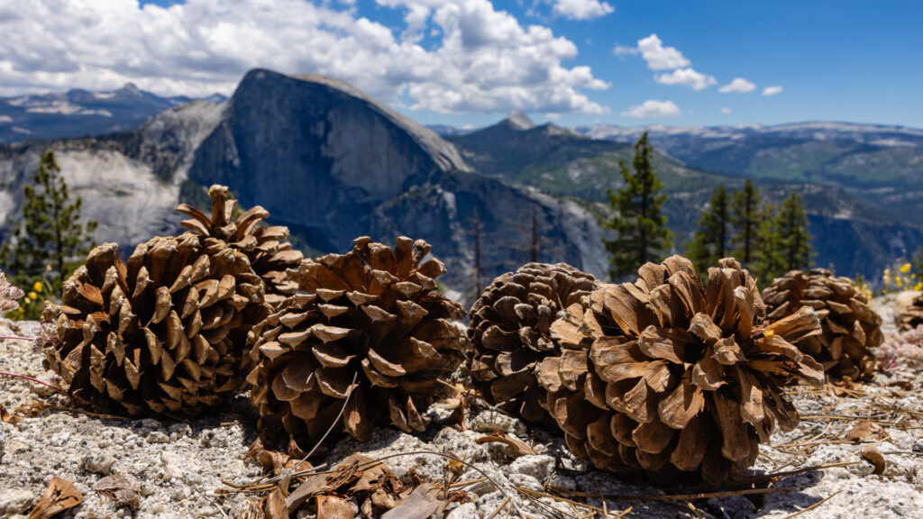
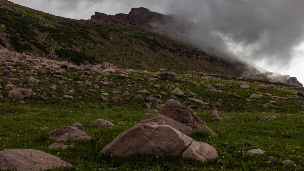
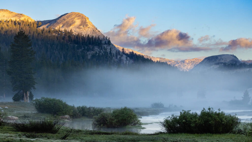
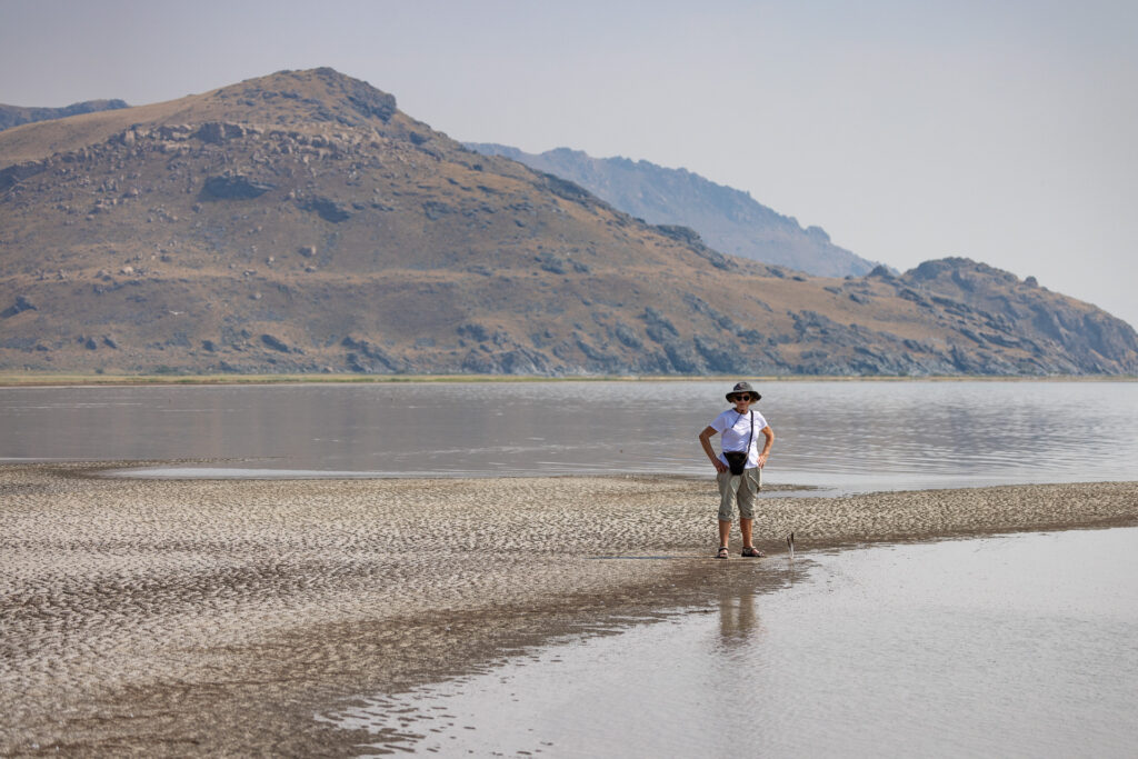
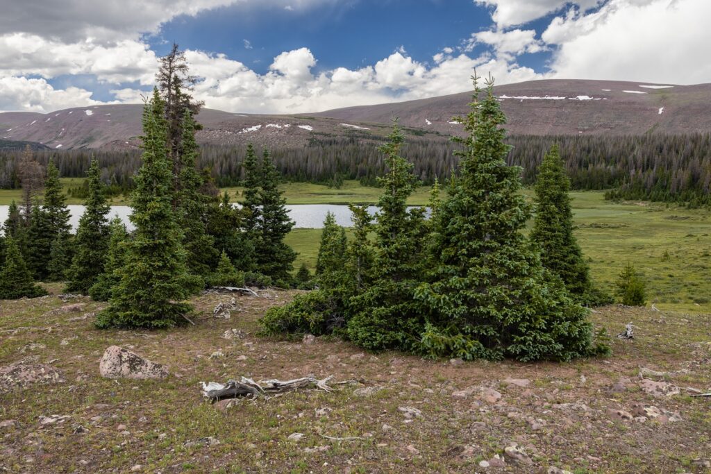
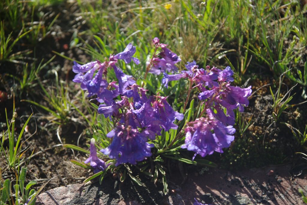
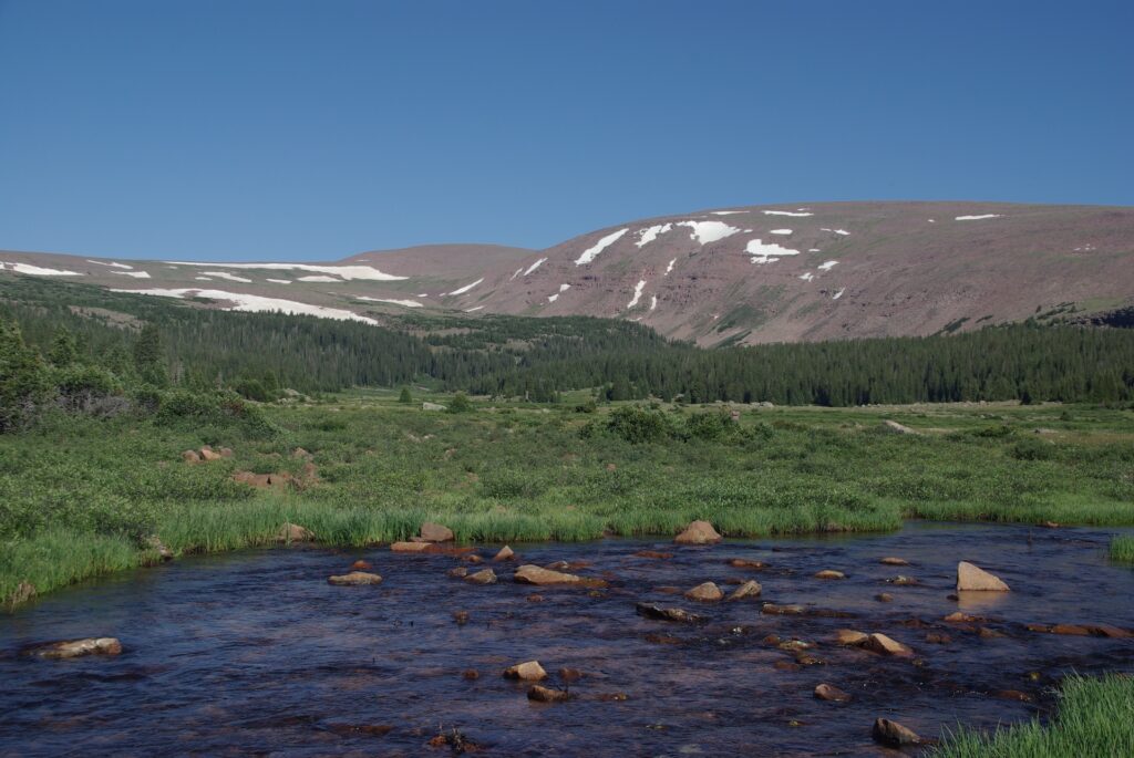
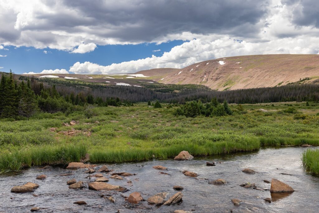
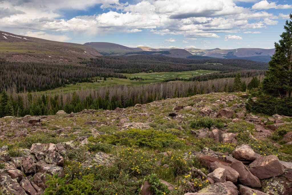
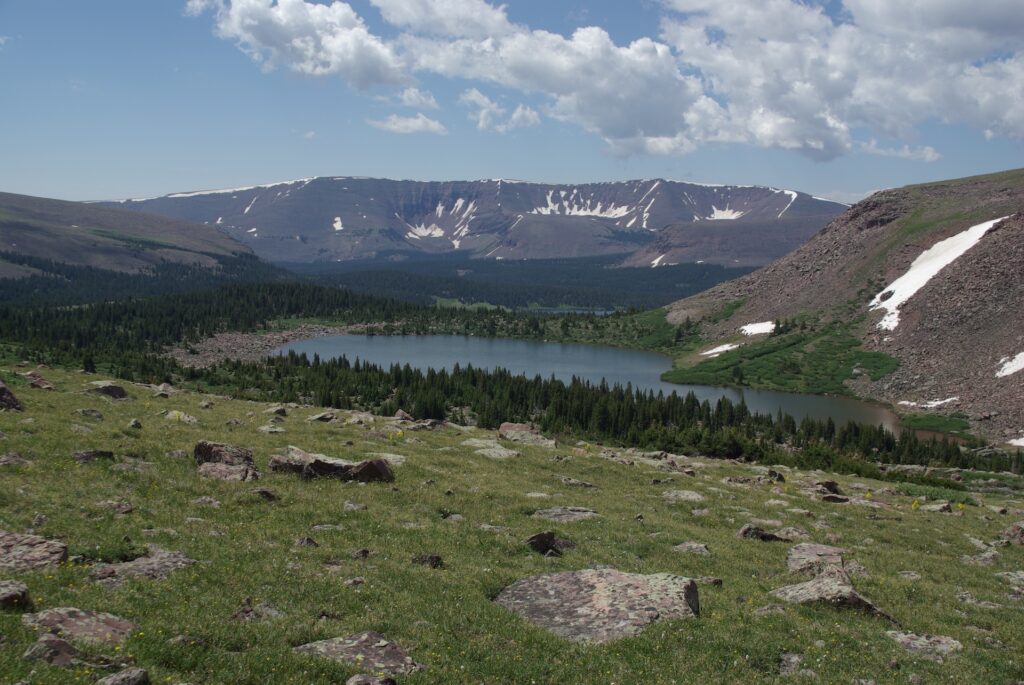
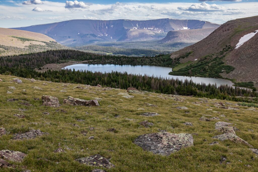
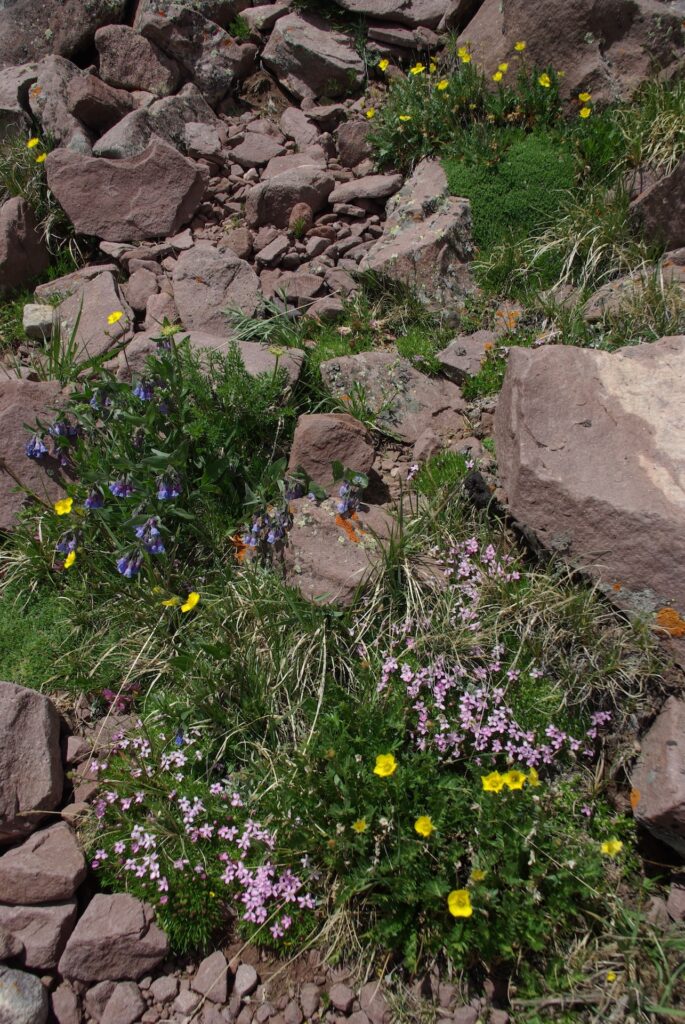
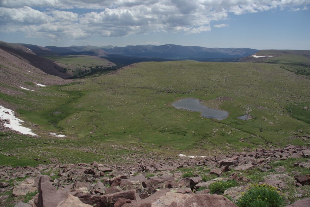
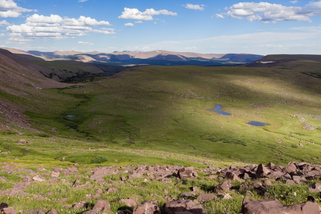
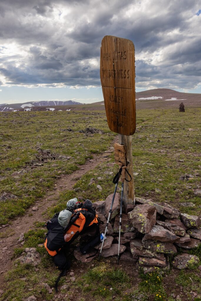
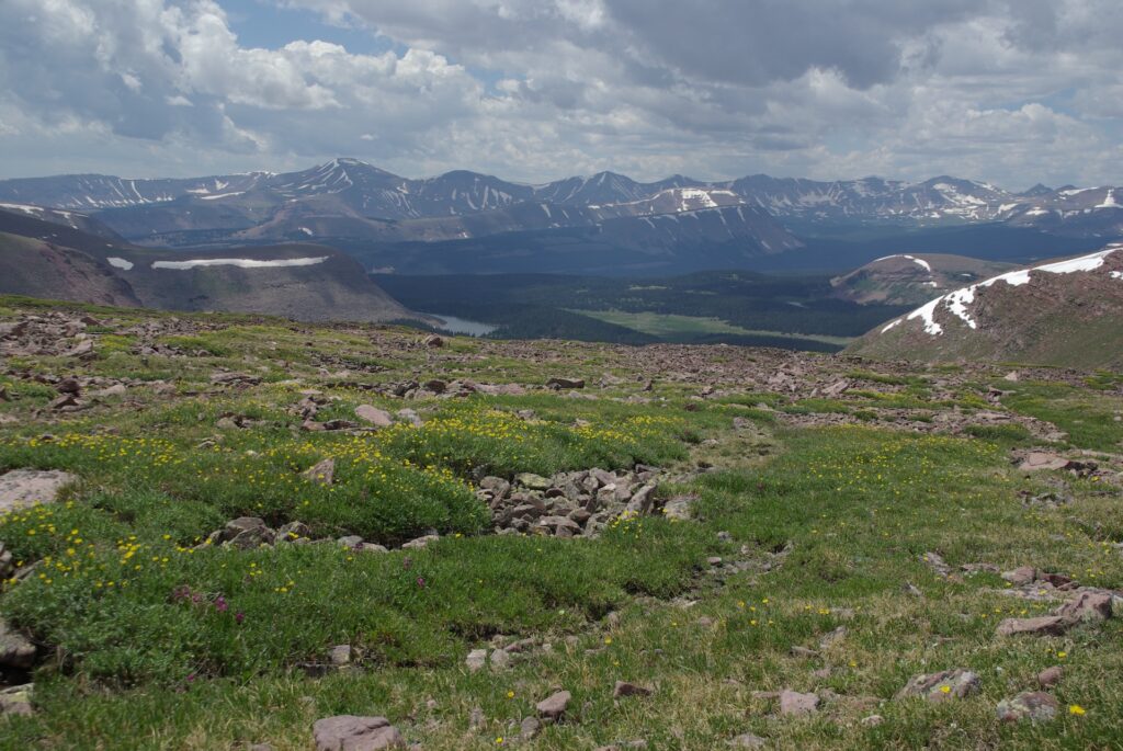
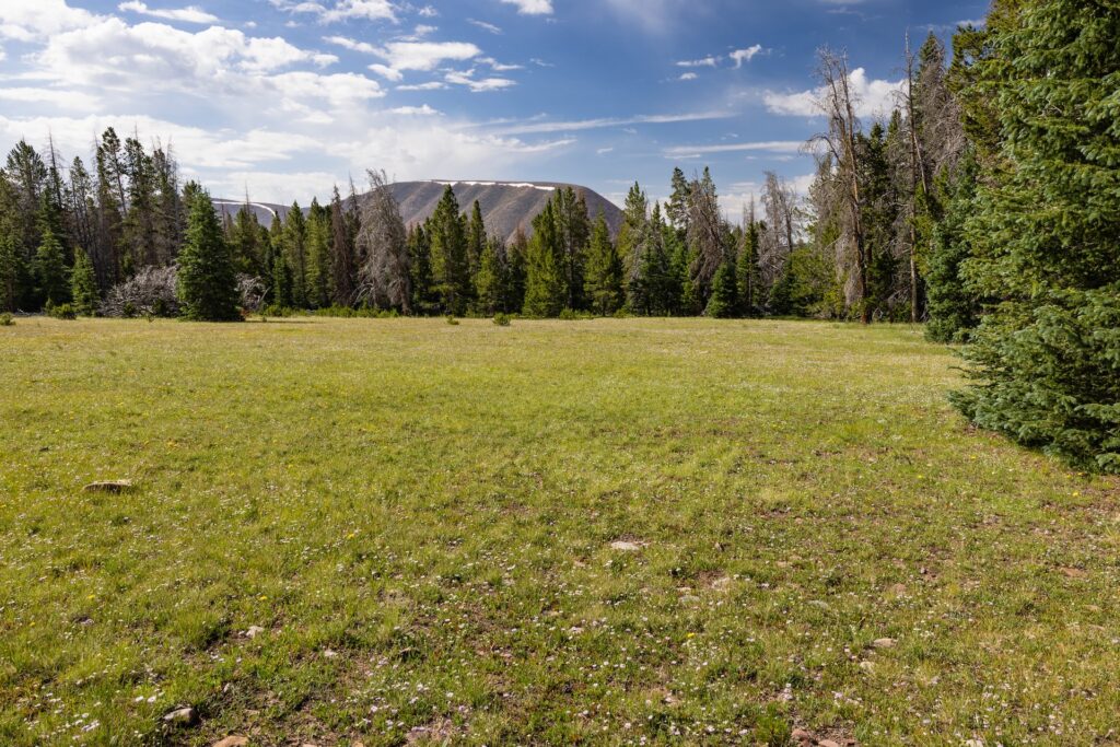
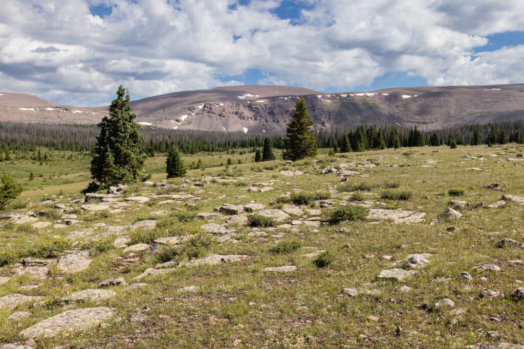
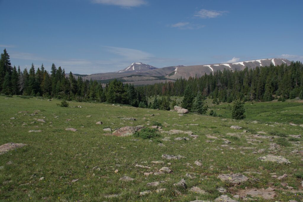
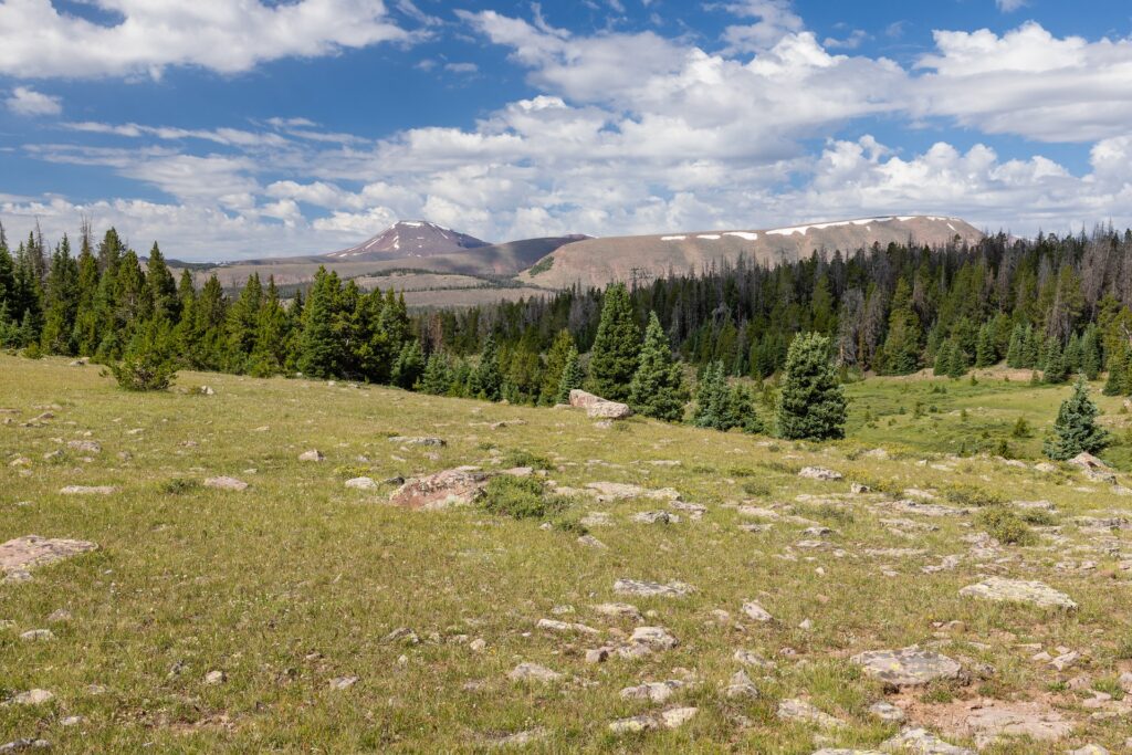
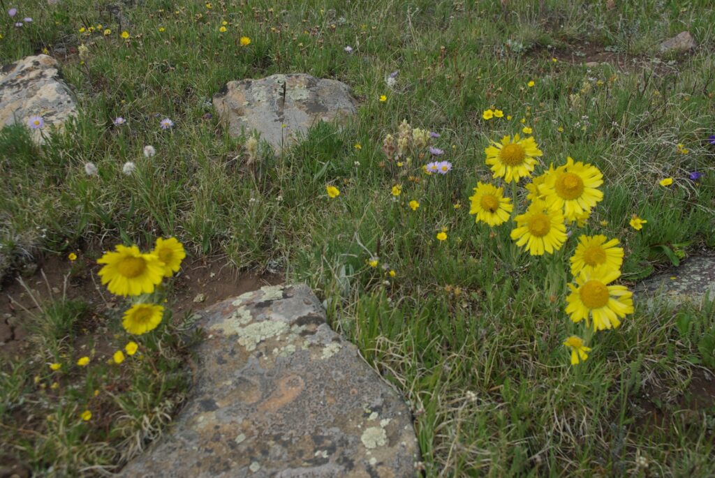
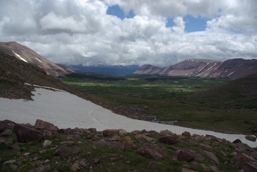
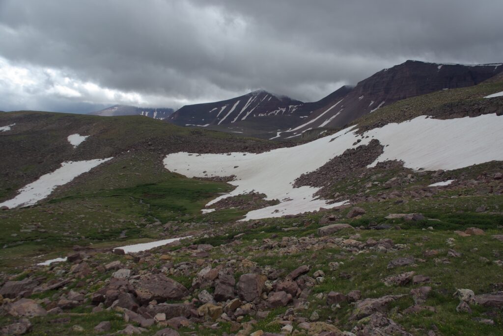
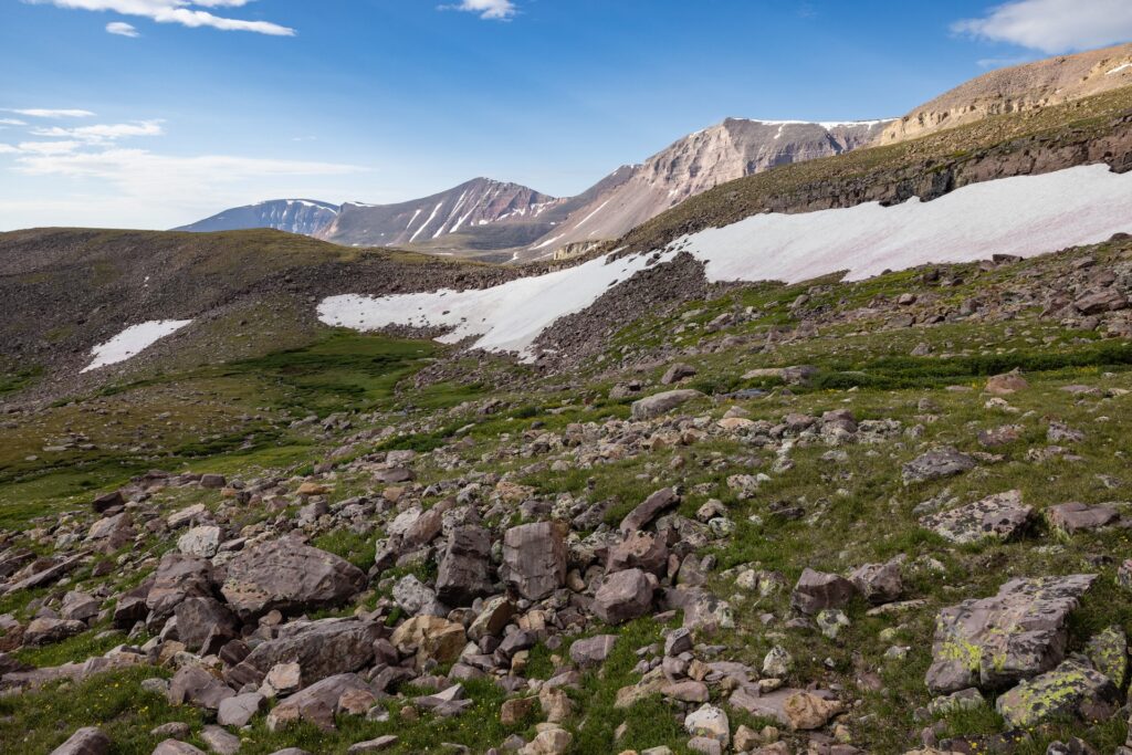
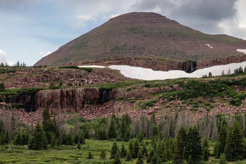
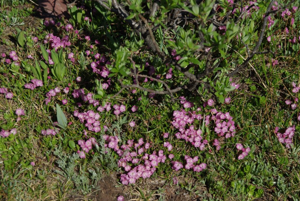
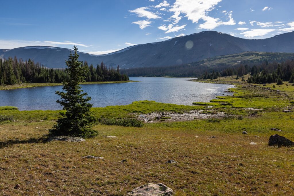
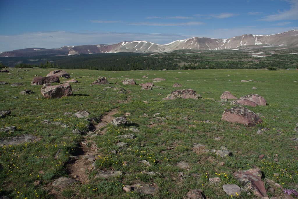
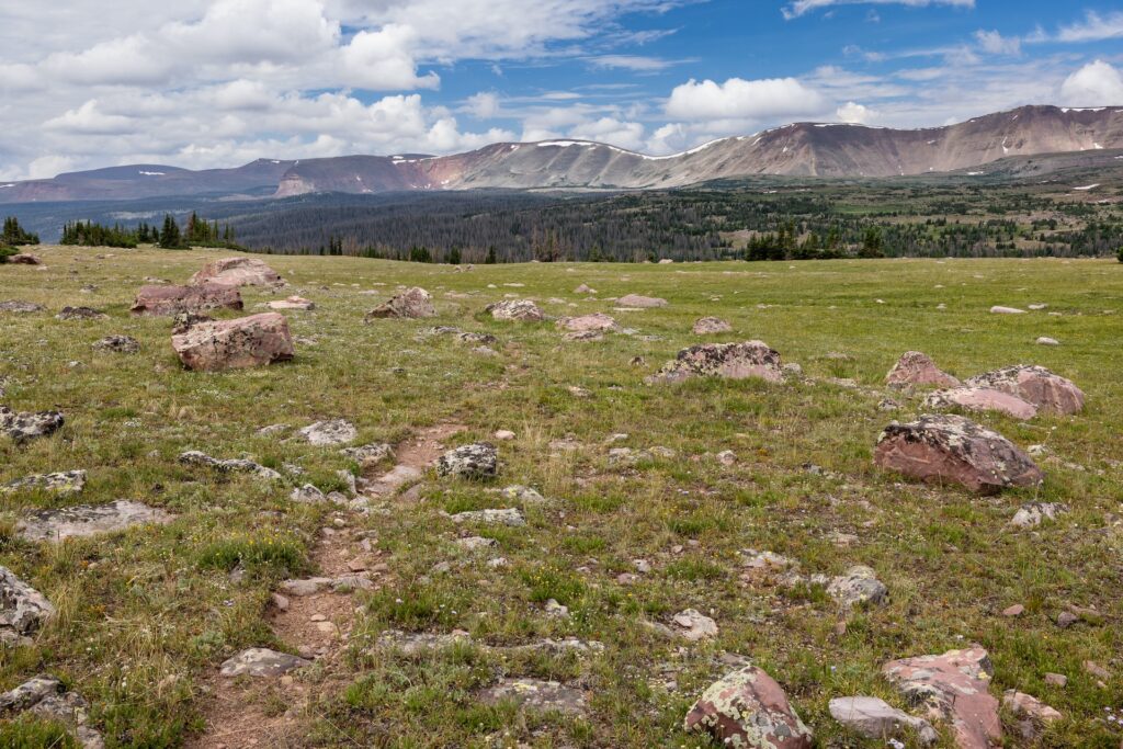
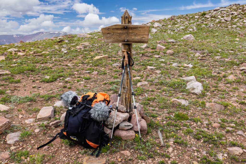
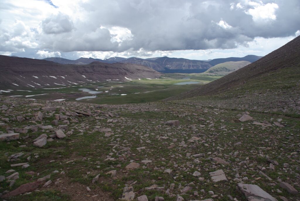
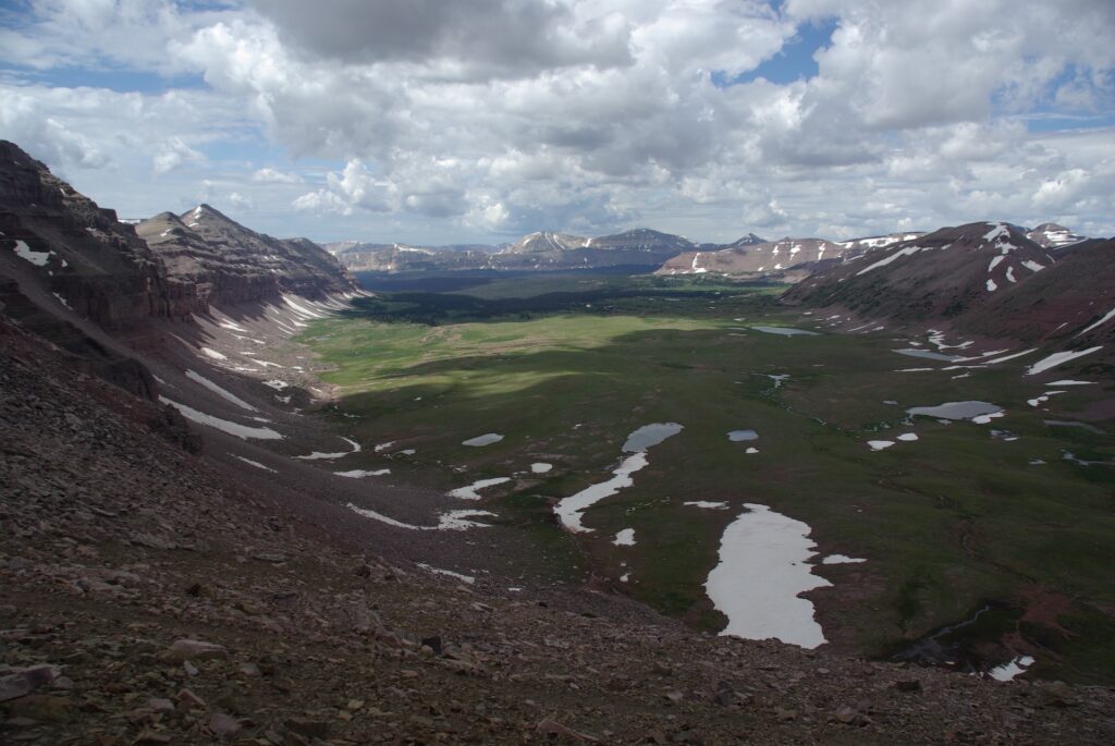
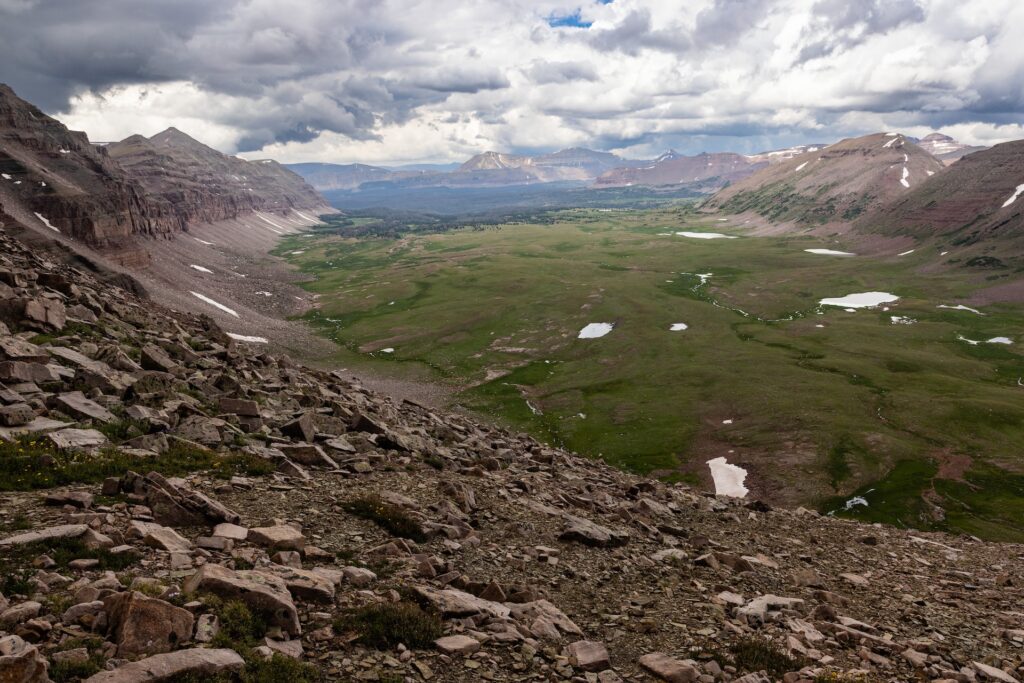
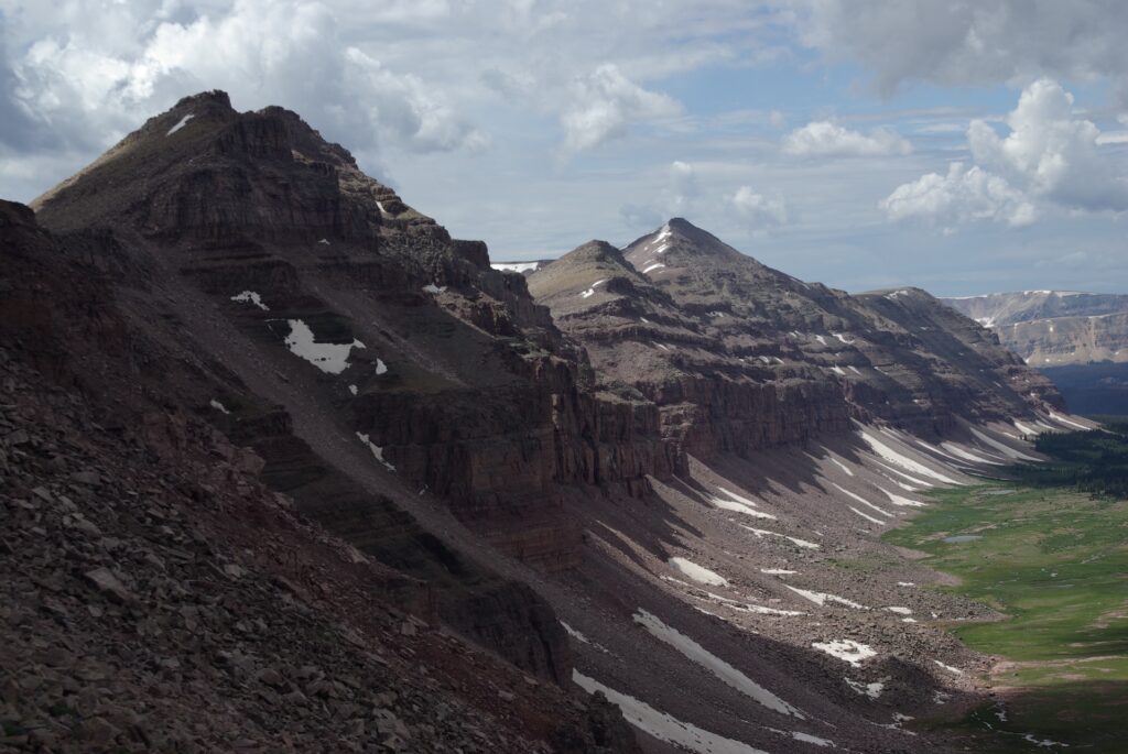
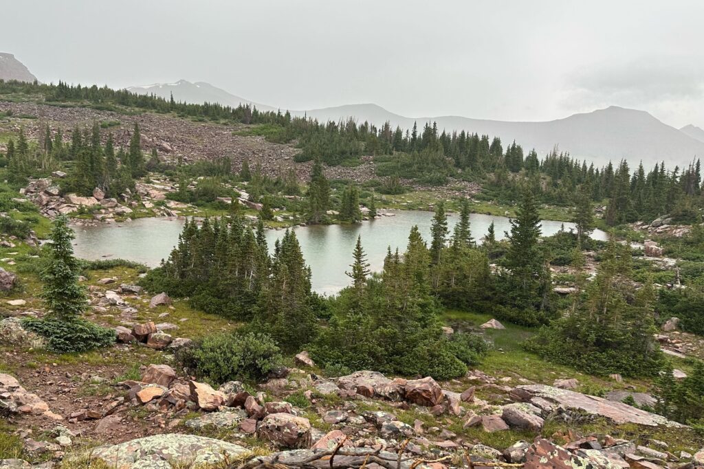
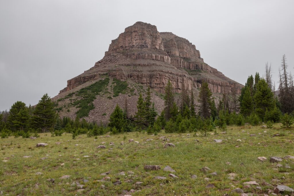
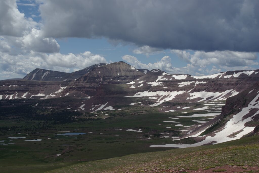
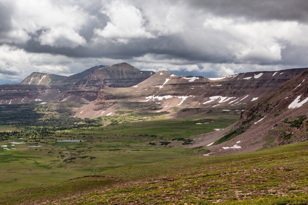
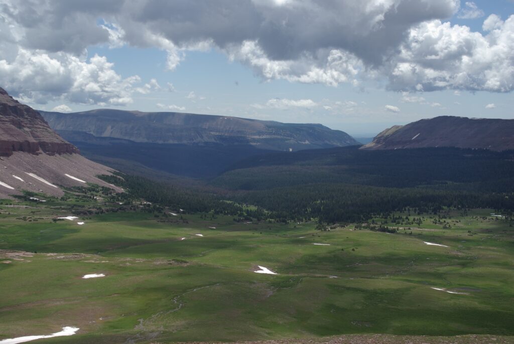
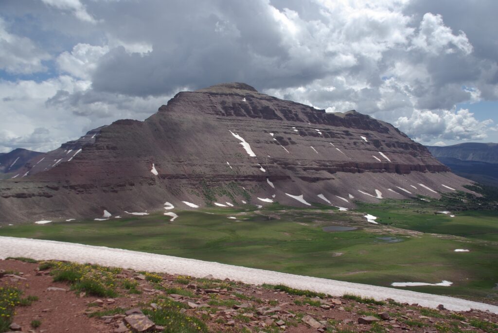
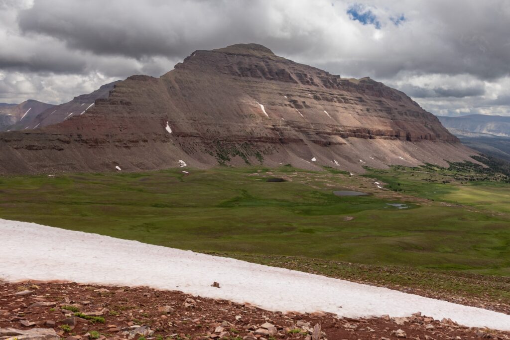
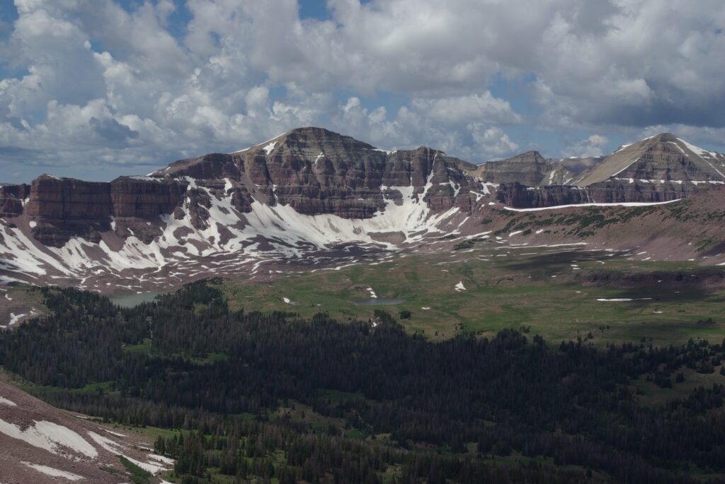
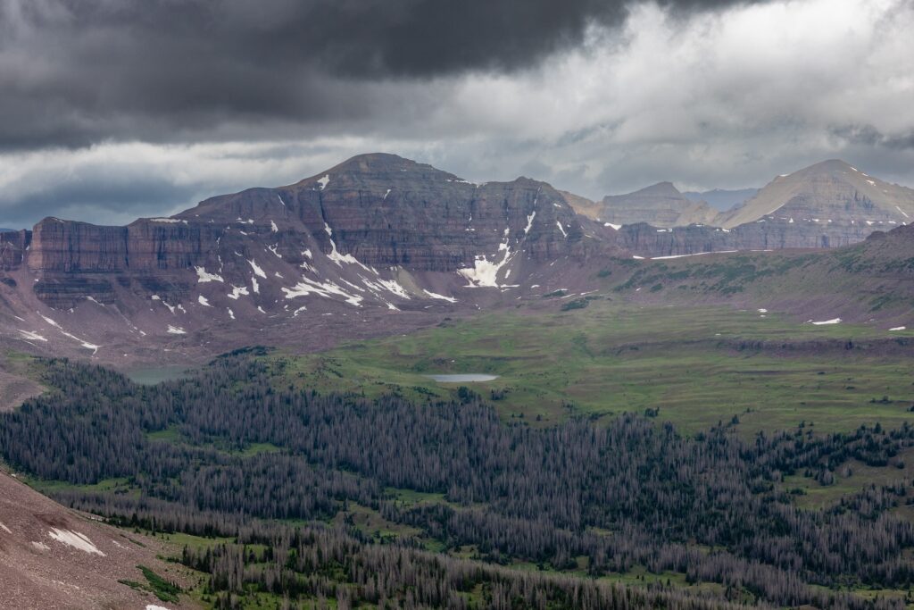
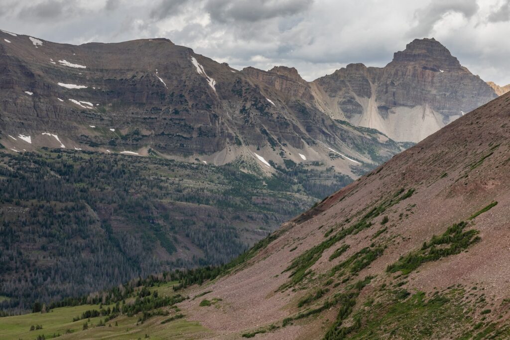
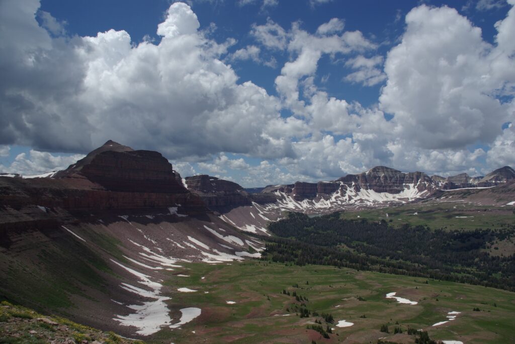
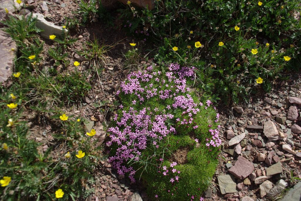
This is a curated collection of stereo field recordings captured during production of the Uinta Triangle podcast. Real outdoor locations across Australia, New Zealand and the United States are represented. The natural soundscapes include weather and wildlife, with minimal or no anthropogenic interruptions. In most cases, these tracks begin and end at points that repeat cleanly, allowing them to be endlessly looped for purposes of relaxation, meditation, or as a sleep aid.
For the best experience, listen using a good pair of stereo headphones in a quiet space.
Track 1 – Allsop
3:31
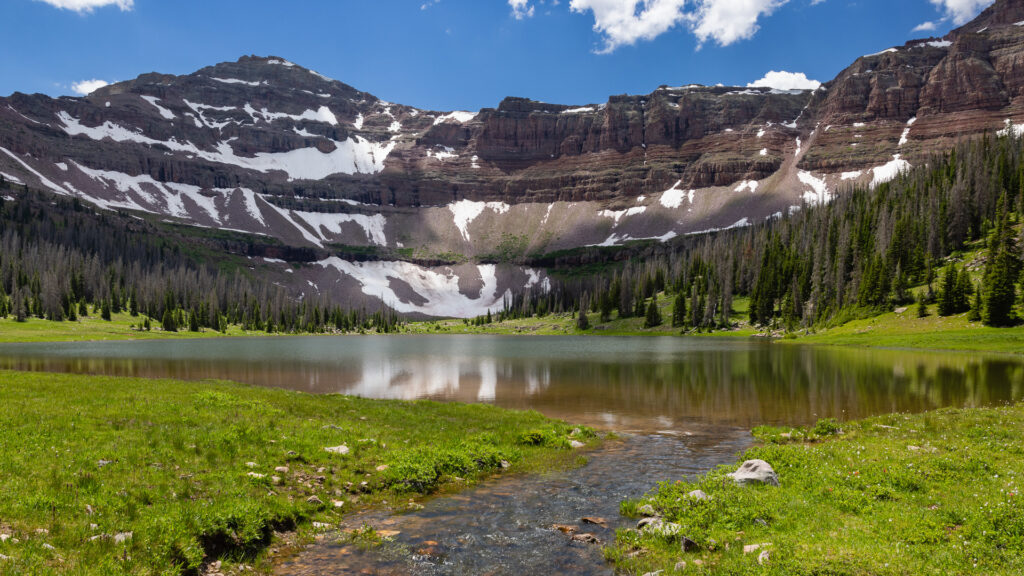
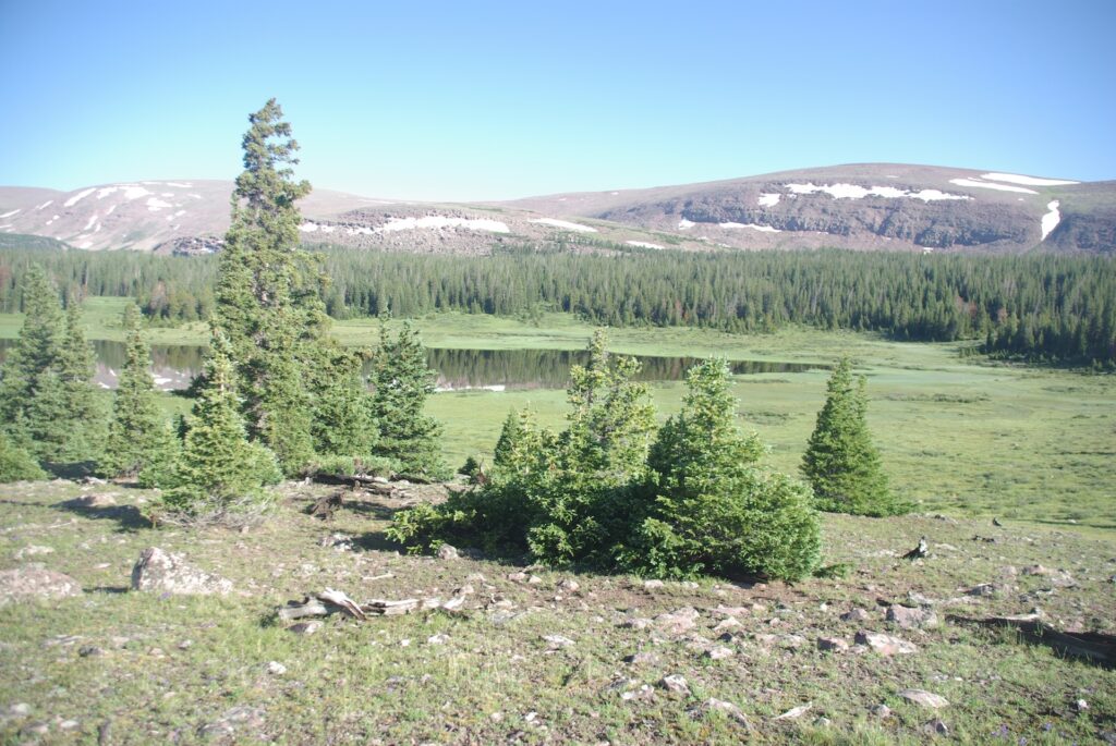
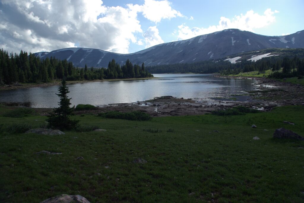
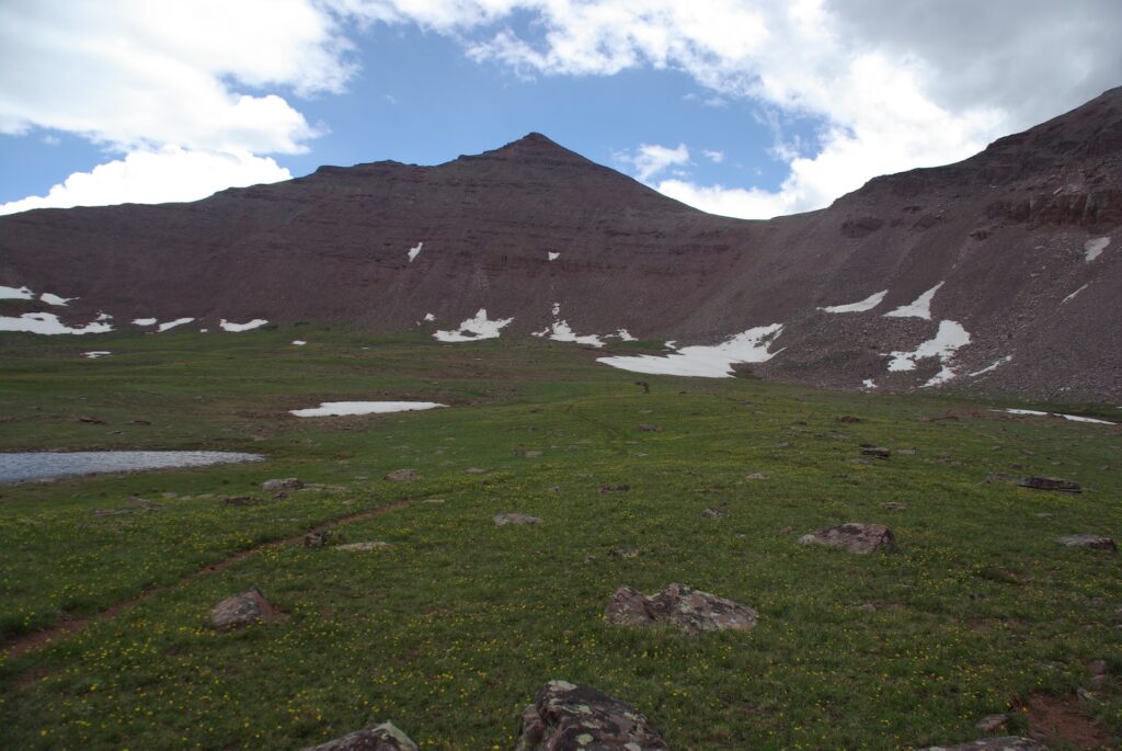
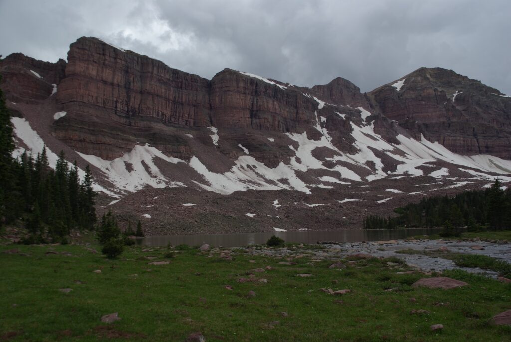
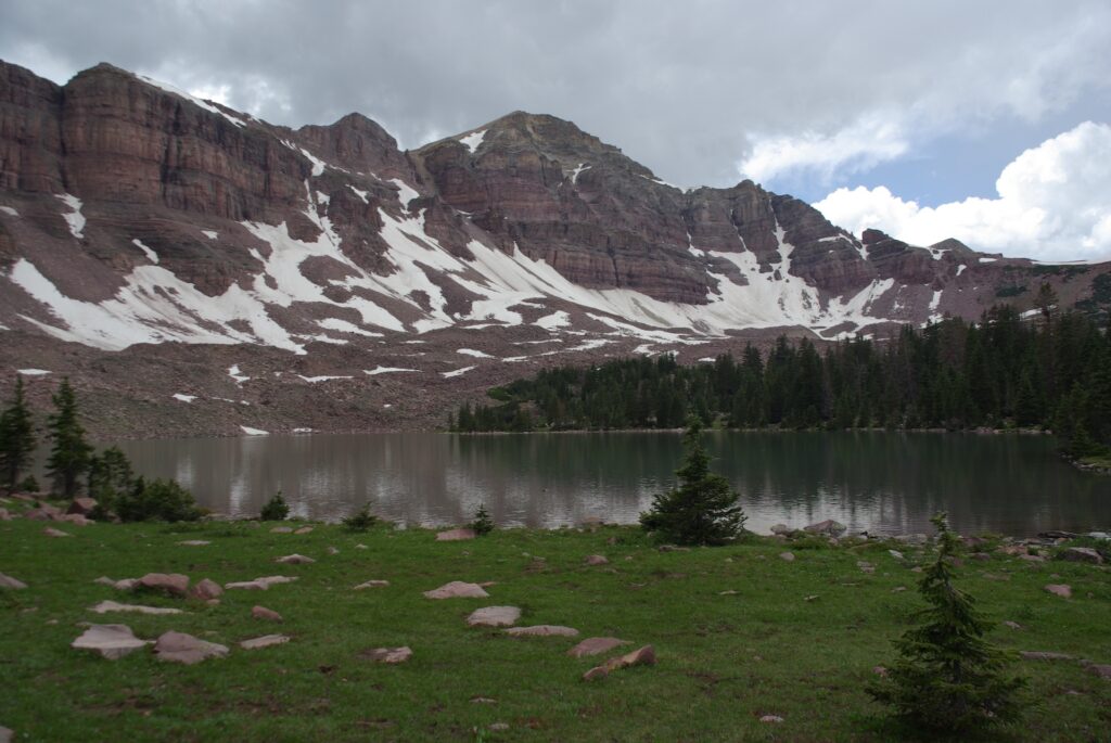
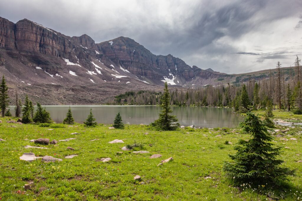
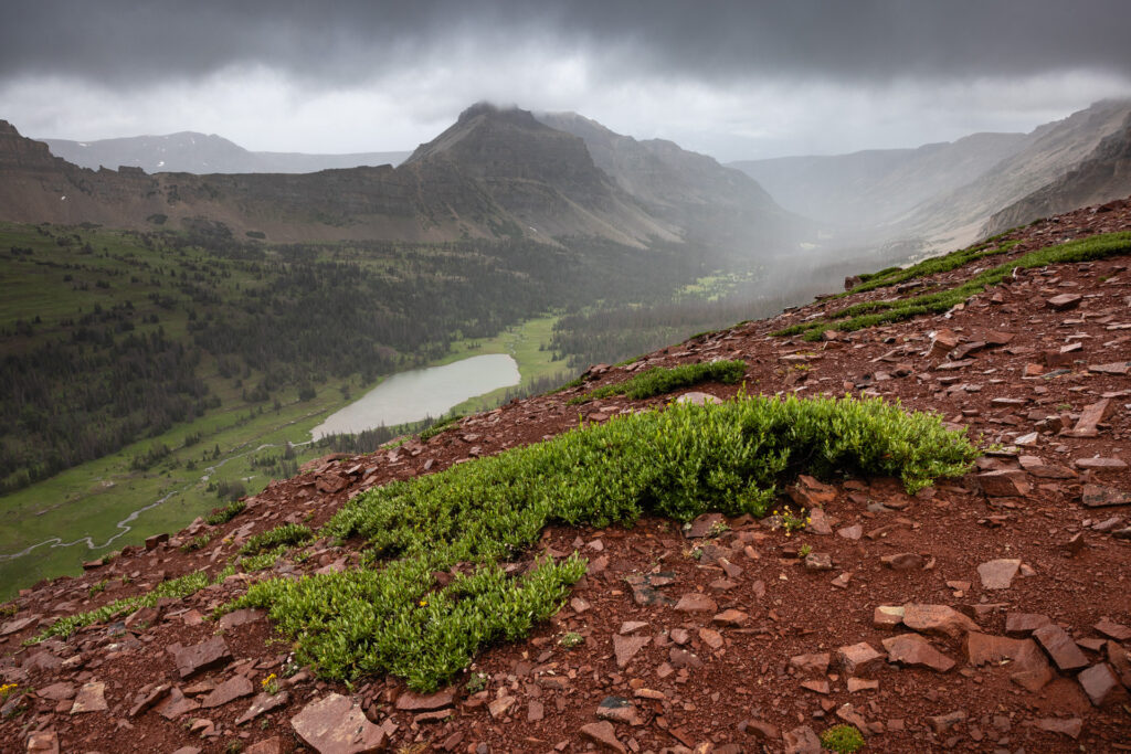
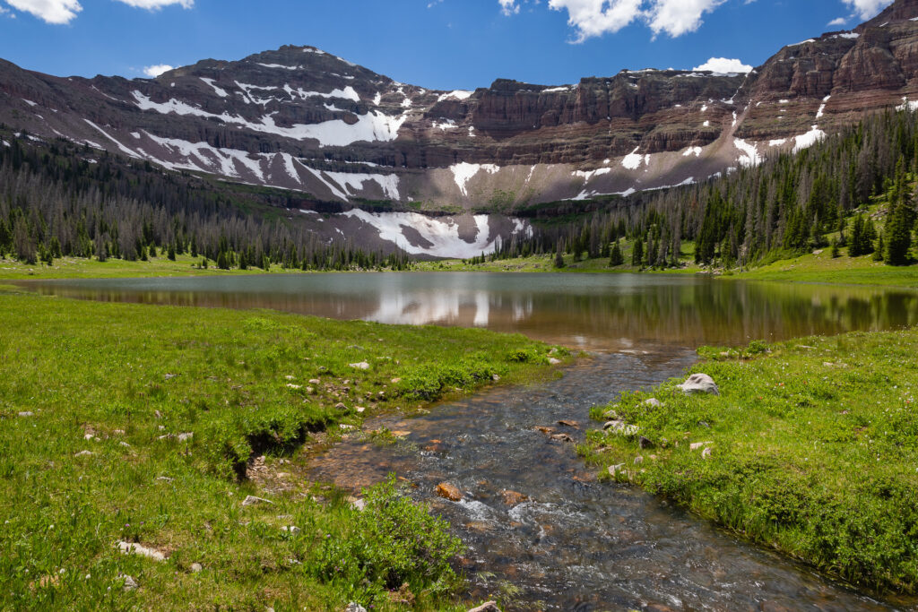
A white-crowned sparrow (Zonotrichia leucophrys) sings from a distant tree branch, while a small stream burbles. Allsop Lake is the headwaters of the Left Hand Fork East Fork Bear River. The river emerges from the north end of the teardrop-shaped lake and flows down out of the High Uintas Wilderness, joining the Stillwater and Hayden Forks, eventually emptying into the Great Salt Lake.
Track 2 – Aspiring
1:47
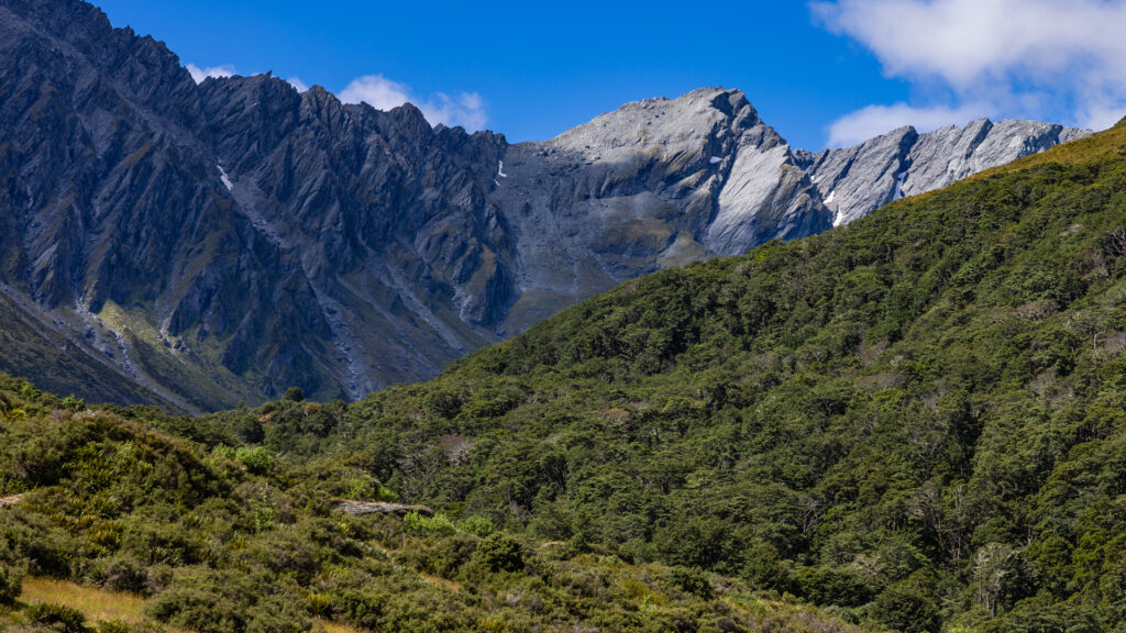
A New Zealand fantail (Rhipidura fuliginosa) chatters under the forest canopy in Te Waipounamu’s Southern Alps. The distant Rees River makes a calming shush as its glacial waters roil. The Rees Track, a hiking trail, crosses through the private Rees Valley Station on its way into Mount Aspiring National Park and the heart of the Southern Alps.
Track 3 – Glenorchy
2:09
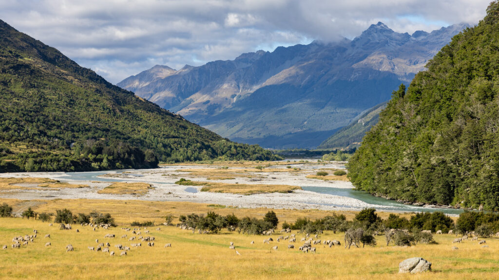
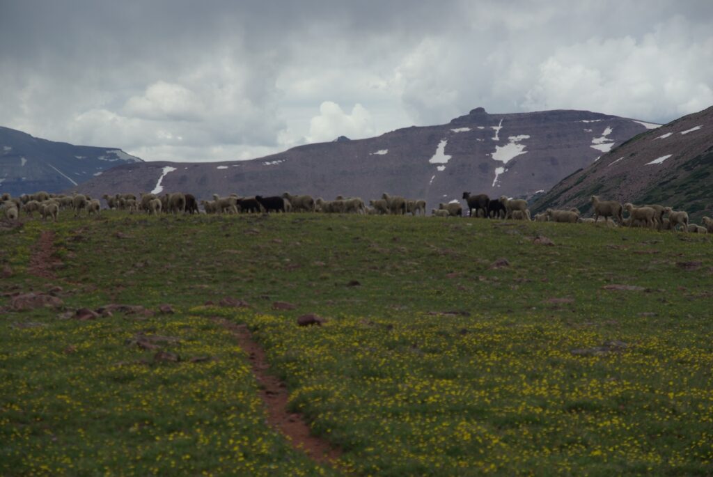
Domestic sheep husbandry plays a large part in the agriculture economy of New Zealand/Aotearoa. Trampers headed into the Southern Alps sometimes share trails with sheep, and any tourist who stops into a shop in the little town of Glenorchy will see locally produced woolen goods on display.
Track 4 – Green River
5:10
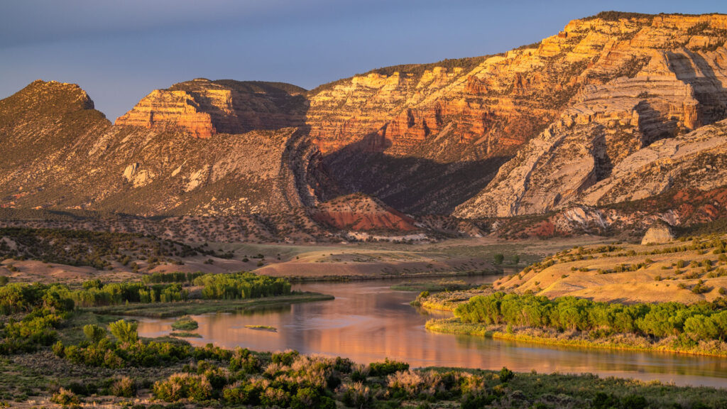
Rising in Wyoming’s Wind River Mountains, and fed by snowmelt from the Uintas of Utah, the Green River is a critical waterway in the American West. Its course not around but through the Uintas, by way of Lodore Canyon and Split Mountain in modern-day Dinosaur National Monument, perplexed the explorer John Wesley Powell. The distinctive descending song of the tiny canyon wren (Catherpes mexicanus) is often heard along its banks.
Track 5 – Heathmont
3:44
The suburb of Heathmont sits east of Melbourne in the Australian state of Victoria, near the forested foot of the Dandenong Ranges. Dandenong Creek, which flows from the mountains, is riparian habitat for all manner of wild creatures. The trees are often full of a cacophonous mix of native and introduced bird species, but the call of the laughing kookaburra (Dacelo novaeguineae) stands out among them.
Track 6 – High Uinta
51:01
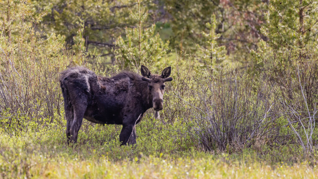
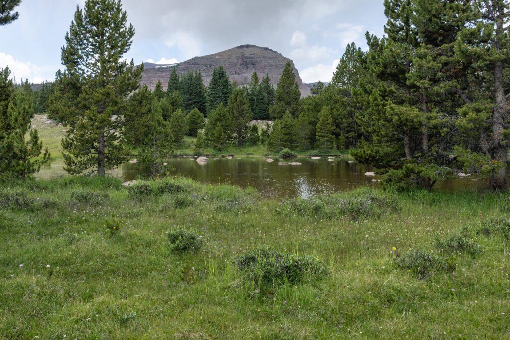
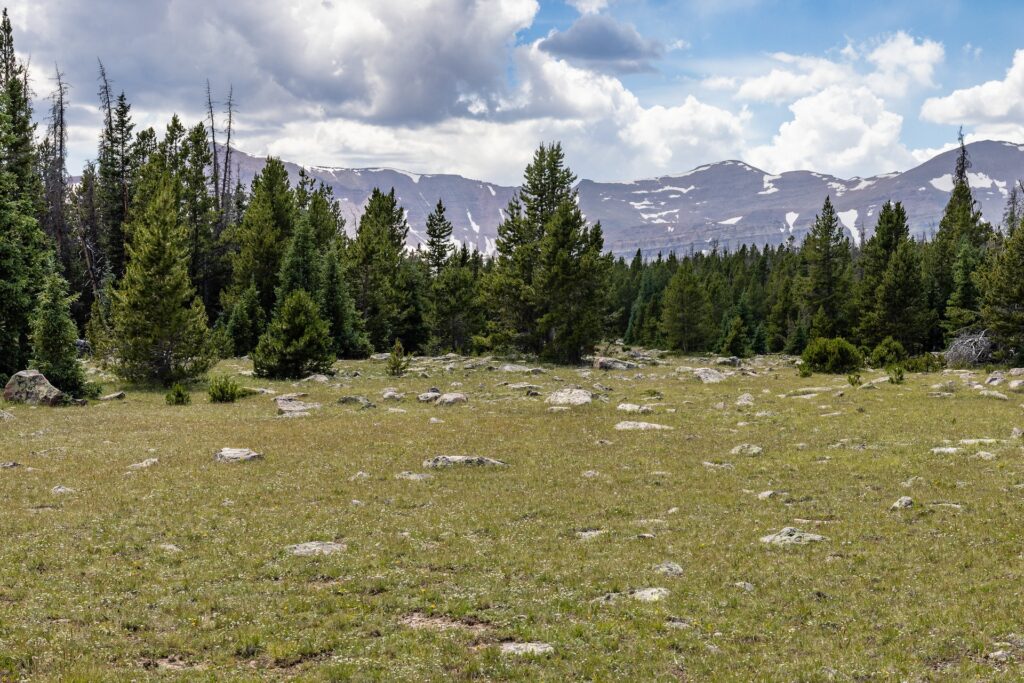
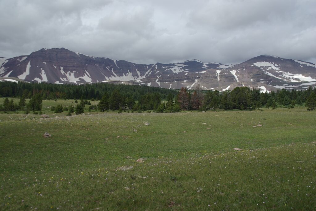
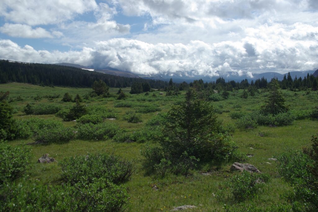
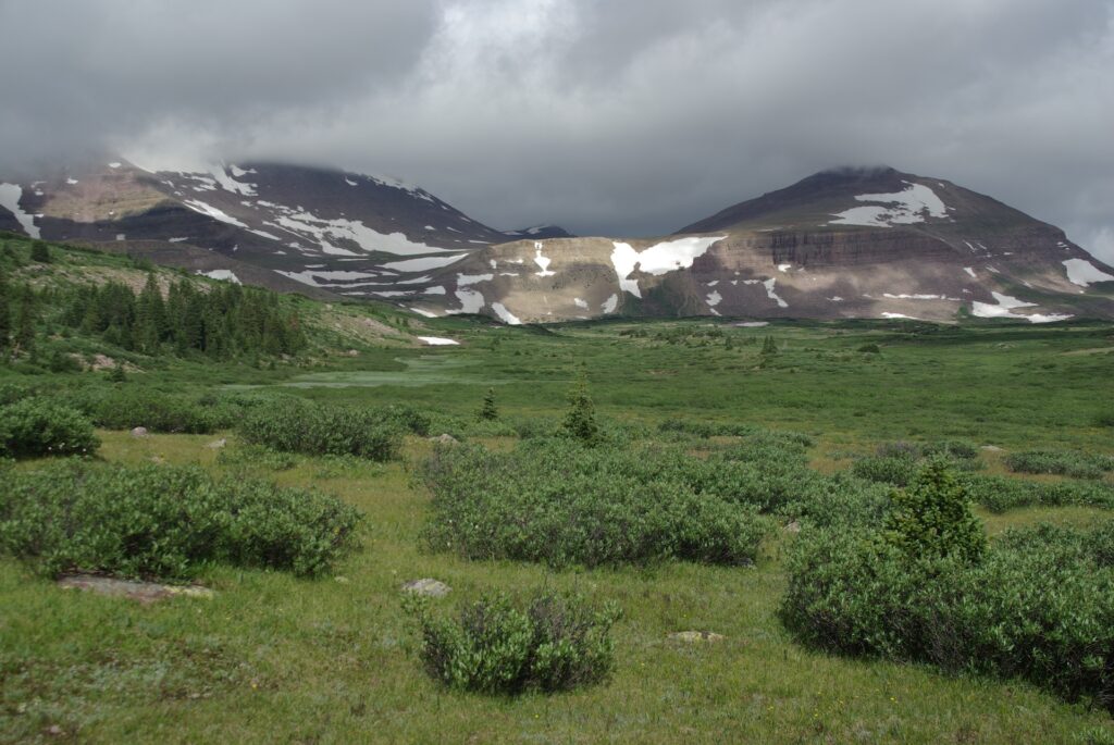
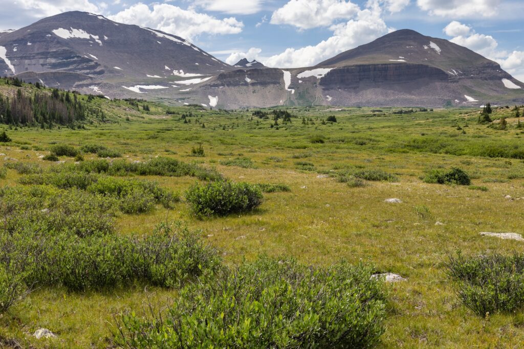
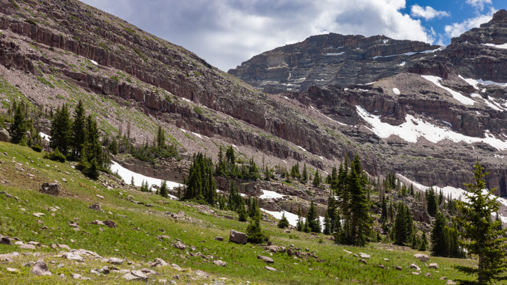
Sub-alpine wetlands in the Uinta Mountains provide ample space for large herbivores, like Shiras moose, to graze. Sit at the edge of a meadow watching for moose and you’ll likely hear the trill of the boreal chorus frog (Pseudacris maculata) or the chastising chitter of an irritated Uinta ground squirrel (Urocitellus armatus).
Track 7 – Mackenzie
2:23
Nothing says “summer in the bush” more than cicada clicks. Male cicadas use a structure called a “tymbal” to produce sound, as a way of attracting females. Different cicada species make different sounds, and Australia is home to hundreds of different cicada species. A January walk along the Mackenzie river in the Grampians (Gariwerd) of Victoria will introduce you to at least a few.
Track 8 – Moon Lake
51:05
High desert meets mountains at the southern foot of the Uintas. Moon Lake, on the Lake Fork River, sits at the point where big sagebrush (Artemisia tridentata) gives ways to quaking aspen (Populus tremuloides). Spend an hour in an aspen grove and you’ll likely hear wind rustling their leaves ahead of an afternoon rain shower, or wrens and warblers flitting between the branches.
Track 9 – Rosalie
2:34
Wind whips through distant stands of lodgepole pine (Pinus contorta), as dusk descends at the shore of Rosalie Lake near the Uinta crest. A boreal chorus frog emerges in a sheltered, marshy nook near the lakeshore and begins to call, echoed soon afterward by other frogs nearby.
Track 10 – Sierra
2:41
A woodpecker plays percussionist as a mountain chickadee (Poecile gambeli) and Steller’s jay (Cyanocitta stelleri) compete for attention somewhere beyond the hustle of the Yosemite Valley. While the chickadee punches well above its weight, the jay is just too punk rock to be outdone.
Track 11 – Stillwater
1:14:58
Springtime snowmelt swells the banks of the Stillwater Fork of the Bear River in the Uinta Mountains. An American robin takes center stage to herald the dawn of a new day. An ensemble, including spotted towhee (Pipilo maculatus) and dark-eye junco (Junco hyemalis) provide backing vocals.
Track 12 – Thunder
5:38
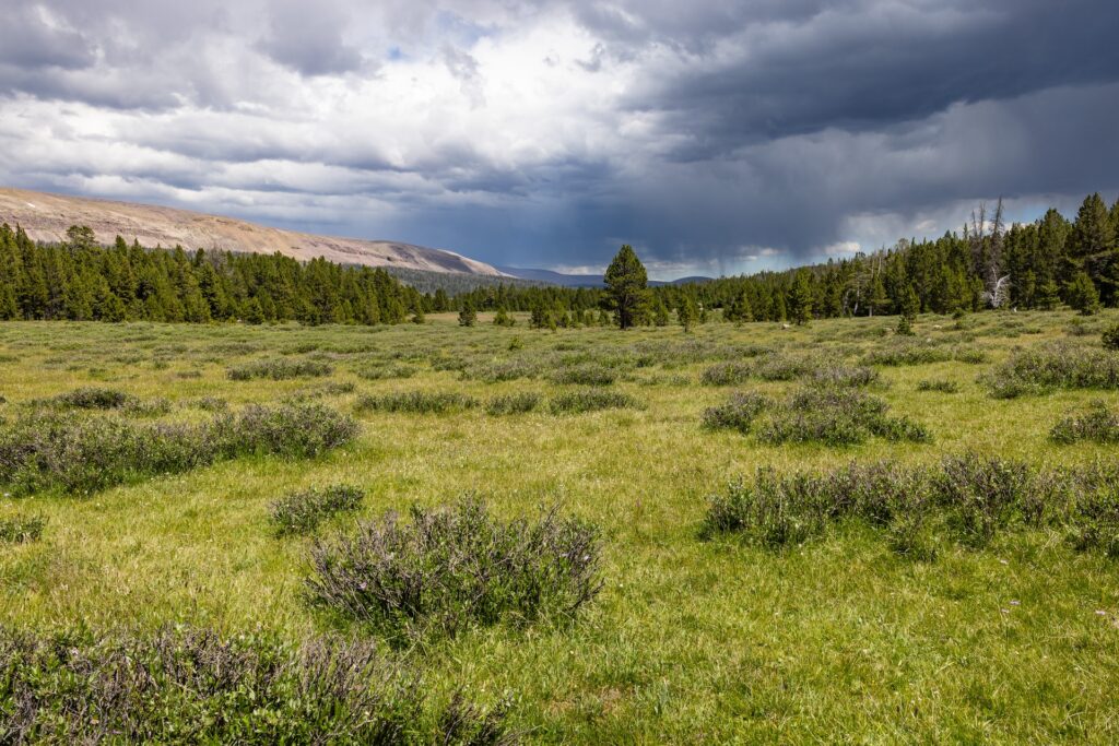
Clouds crackle as pulses of rain pepper the alpine tundra. Can’t you hear the thunder? You’d better run, you’d better take cover.
Track 13 – Tuolumne
36:50
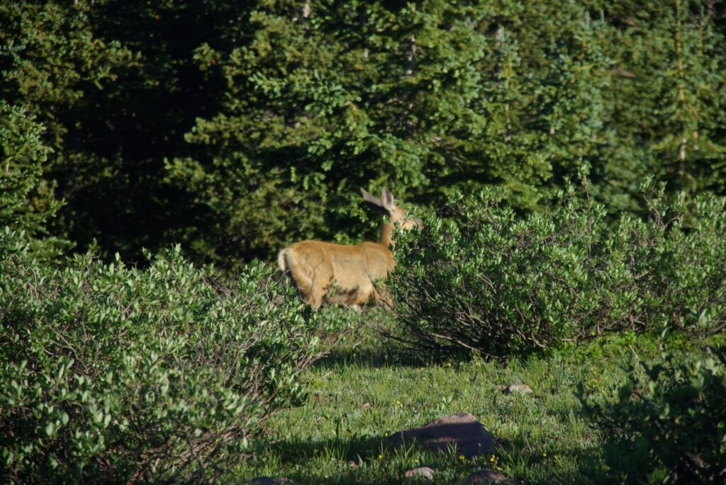
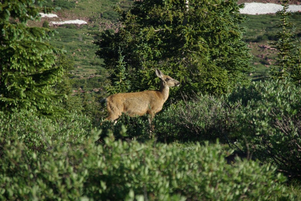
Mist rises over a bend on a mountain river, as a group of mule deer (Odocoileus hemionus) take advantage of the concealment to munch on dewy meadow grasses. Under a ruddy sky, a spotted sandpiper (Actitis macularius) leads the dawn chorus. As John Muir once mused, “it’s always sunrise somewhere; the dew is never all dried at once.”
Track 14 – Yahgoveetch Sonata
2:07
The coyote (Canis latrans), or Yahgoveetch in the language of the Utes, is a vocal relative of the domestic dog and wild gray wolf (Canis lupus). This coyote’s mournful howl, captured in the Garfield Basin of the High Uintas Wilderness, may announce its separation from the pack.
Robinson’s Rest – Marilyn’s journey to Allsop Lake
By Dave Cawley, KSL Podcasts
Uinta Triangle, as originally conceived, was only supposed to span eight episodes. It would cover the story of Eric Robinson’s life, his journey to Utah and disappearance in the Uinta Mountains in 2011, followed by surprise discovery of his remains in 2016. The story was to conclude with takeaways from KSL Podcasts’ independent investigation: the summary that wraps up episode 8.
The idea of adding a ninth, finale episode only arose after Eric’s wife, Marilyn Koolstra, announced plans to travel to Utah again in July of 2024. Marilyn had visited Utah for the search in 2011, but had not returned since. She believed there was no feasible way for her reach the place where her late husband’s life ended.
Marilyn, at age 72, remained energetic.
“I don’t perceive myself as old, but when I look in the mirror, I think there’s a few changes there,” Marilyn said. “Some days I creak out of bed and I think, ‘Oh, that’s a bit sore.’ But I will not give in to sitting on the couch. I will not give in to a sedentary lifestyle.”
Tour of Utah
Marilyn arranged her visit to Utah to align with Eric’s travels, 13 years earlier. She arrived at Salt Lake City International Airport on July 21, and hoped to be at Allsop Lake on Aug. 4, the anniversary of Eric’s fatal fall.
Marilyn Koolstra stands at the shore of the Great Salt Lake, in Antelope Island State Park, on July 30, 2024. Photo: Dave Cawley, KSL Podcasts
That left a week and a half to prepare physically, and mentally, for the task. To help with this, and to share more of my home state’s amazing landscapes, I organized a “tour of Utah” roadtrip with Marilyn. The plan included several hikes that increased in difficulty each day.
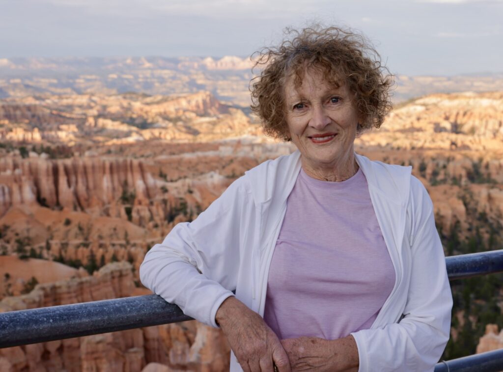
Marilyn Koolstra stands at Bryce Canyon National Park’s Sunrise Point on July 25, 2024. Photo: Dave Cawley, KSL Podcasts
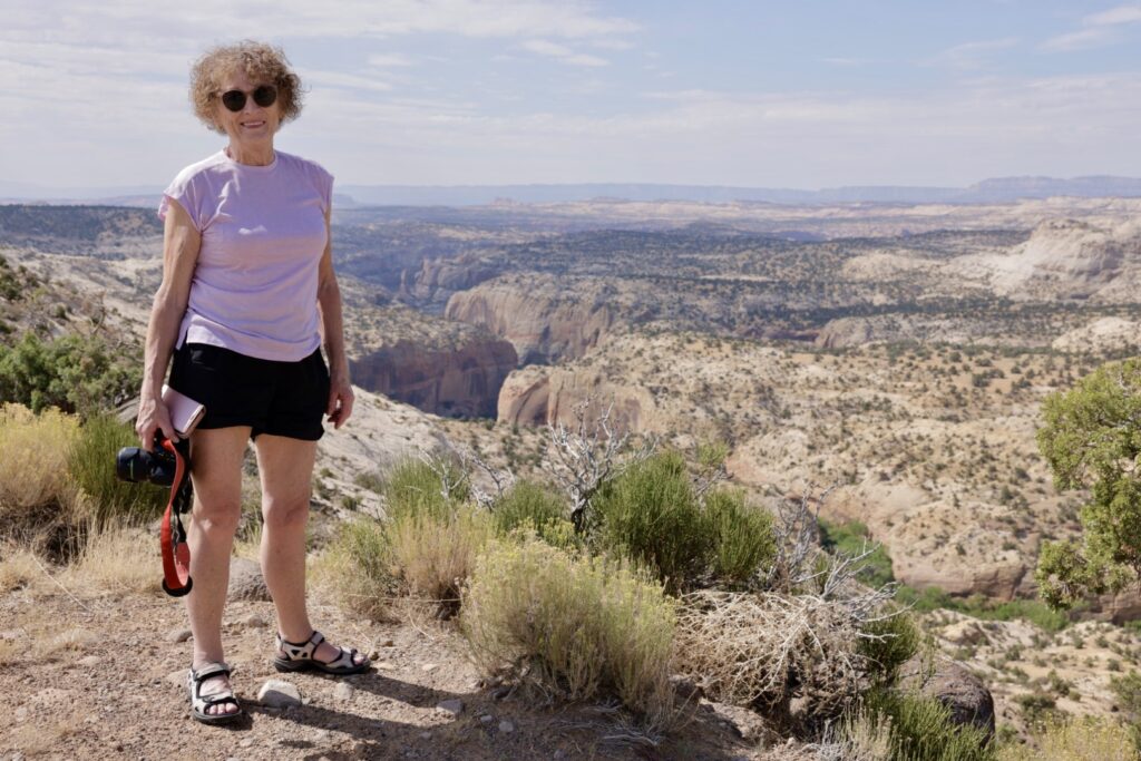
Marilyn Koolstra stands along Utah State Route 12, overlooking Grand Staircase-Escalante National Monument, on July 25, 2024. Photo: Dave Cawley, KSL Podcasts
The tour of Utah culminated with an ascent of Angels Landing in Zion National Park, one of the most iconic trails in the state. A combination of summer heat and steep incline make the route to the top of the sandstone fin an effective stress test.
“There was a time halfway up that first incline where I’m thinking, ‘Can I do this? How do I tell Dave that I can’t do this? I’m not going to tell him that. I’m going to steady my breathing, I’m going to pace myself,’” Marilyn said.
Using chains for handholds, Marilyn made her way to the top of Angels Landing, where she snapped pictures to share with family back home in Australia.
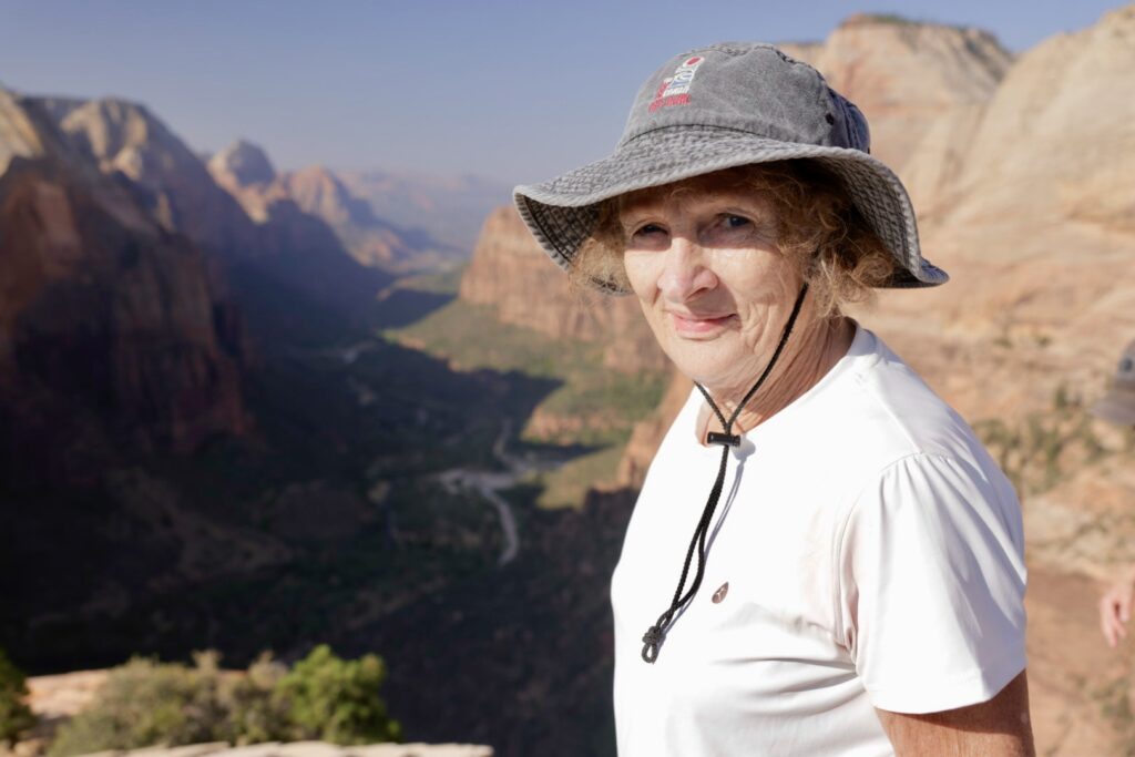
Marilyn Koolstra stands atop Angels Landing in Zion National Park on July 27, 2024. Photo: Dave Cawley, KSL Podcasts
“One of my sons called me the GOAT, greatest of all time,” Marilyn said. “The other children were very impressed.”
The trek to Allsop Lake
Marilyn embarked on her pilgrimage to Allsop Lake on Aug 2., 2024, accompanied by her late husband Eric’s friend, Julia Geisler, as well as members of the Judd family, who located Eric’s remains in 2016.
The full account of the journey to Allsop Lake is contained in the audio of Uinta Triangle episode 9. Here are presented just a selection of moments from that trek, with minimal additional commentary.
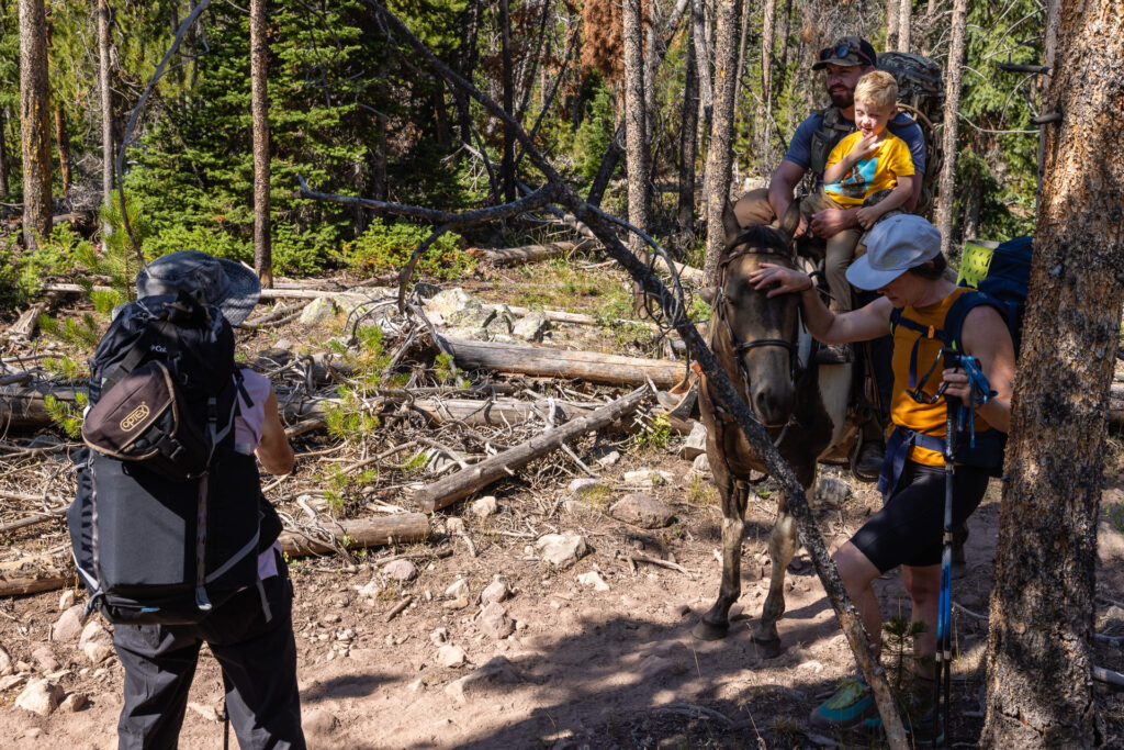
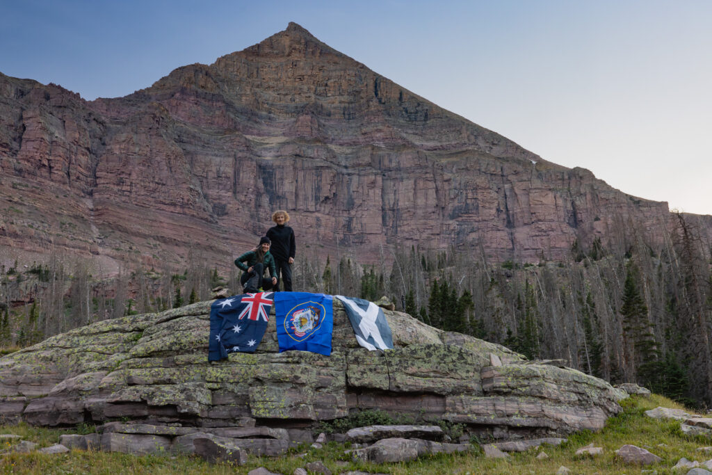
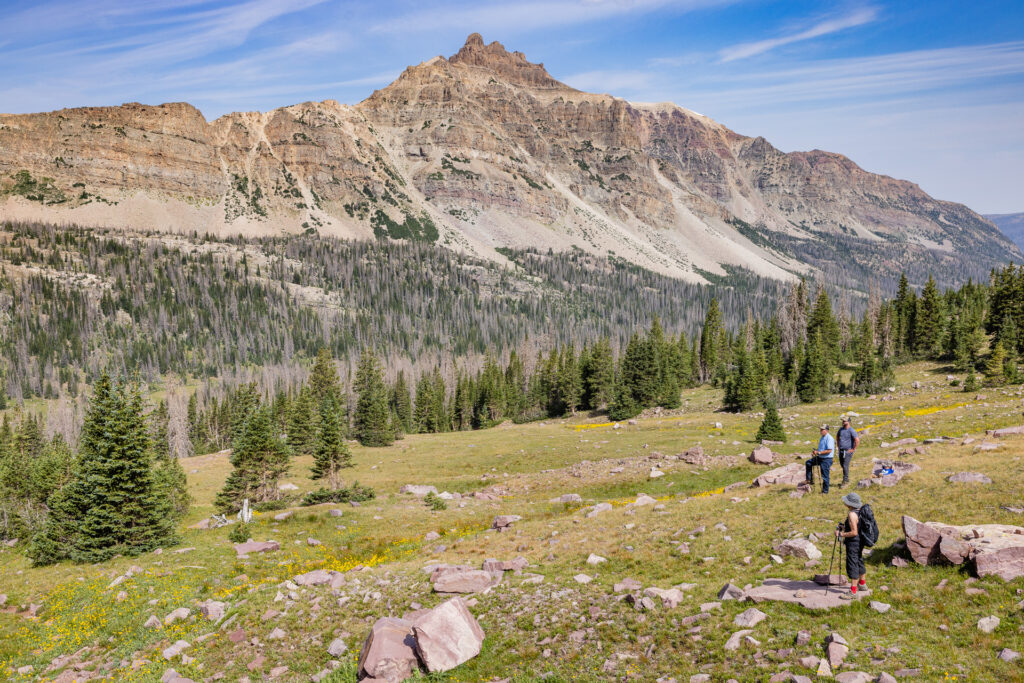
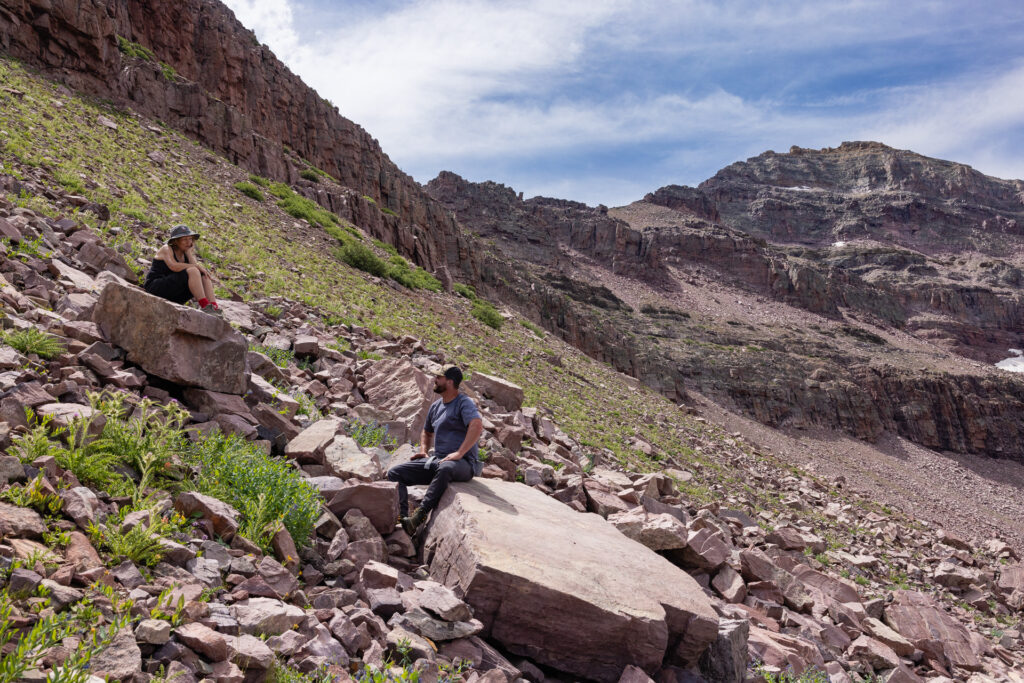
Kelvin Judd (right, on horseback) holds his son, Hardy, while Julia Geisler and Marilyn Koolstra navigate a section of the East Fork Bear River Trail. Photo: Dave Cawley, KSL PodcastsJulia Geisler wears an akubra, a traditional Australian fur felt hat, gifted to her by her friend, Eric Robinson, prior to his death in the Uinta Mountains in 2011. Photo: Dave Cawley, KSL PodcastsMark Judd fiddles with a small radio while headed to Allsop Lake. The Judd family has carried radios in the backcountry every since Kelvin Judd became lost in the mountains as a teenager. Photo: Dave Cawley, KSL PodcastsMarilyn Koolstra navigates using primitive trail markers in the High Uintas Wilderness. Photo: Dave Cawley, KSL PodcastsJulia Geisler (left) comforts Marilyn Koolstra on the trek to Allsop Lake. Photo: Dave Cawley, KSL PodcastsJulia Geisler and Marilyn Koolstra pose with three flags beneath Yard Peak in the High Uintas Wilderness. The Scottish, Australian and Utah flags represent three major chapters of Eric Robinson’s life. Photo: Dave Cawley, KSL PodcastsThe Cathedral looms over Marilyn Koolstra, as well as Mark, Kelvin and Hardy Judd, during their hike to Eric Robinson’s final resting place. Photo: Dave Cawley, KSL PodcastsMarilyn Koolstra sits on “Ruby’s Rock” on the slopes east of Allsop Lake, speaking to Kelvin Judd. Photo: Dave Cawley, KSL Podcasts
Echos in time
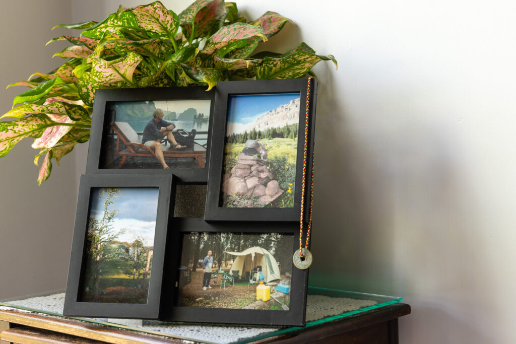
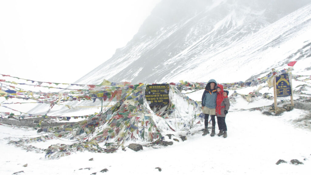
When I visited Marilyn in Australia, to interview her for the Uinta Triangle podcast, I noticed a photo frame tucked into a corner of her home. In it were photos of the cairn she built for Eric in the Uinta Mountains at the end of the search in 2011, of the garden Eric helped create at the school where Marilyn worked and of Eric at a campsite. A small coin Eric’d purchased in Nepal, while hiking the Annapurna Circuit with Marilyn in 2009, hung off one side of the frame.
A small photo shrine in honor of Eric Robinson, in the house he and Marilyn Koolstra formerly shared. Photo: Dave Cawley, KSL Podcasts
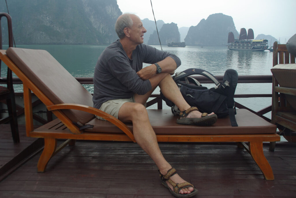
The fourth picture in that frame showed Eric sitting on the deck of a boat in Vietnam’s Halong Bay. Marilyn said the candid shot was one of the last of Eric, before he departed for his final trek.
“That was the last overseas trip that we did together,” Marilyn said. “I am very glad that I persuaded him that that was a good place to go.”
In the image, Eric appeared contemplative, peering into the distance.
Eric Robinson sits on the deck of a boat in Halong Bay, Vietnam on April 21, 2011, just a few months prior to his death. Photo: courtesy Marilyn Koolstra
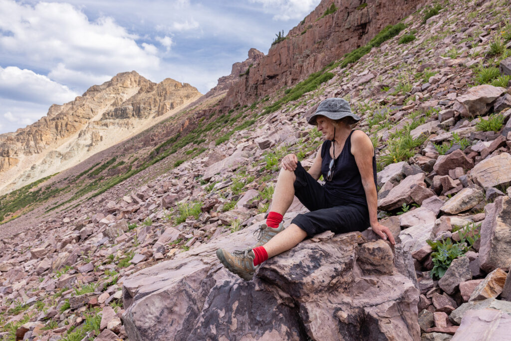
During Marilyn’s pilgrimage to Allsop Lake, and to the slope where Eric’s remains came to rest, I was struck by the unintentional similarity between that photo of Eric in Vietnam and Marilyn’s pose. I captured my own candid shot.
These two pictures were taken half a world away and separated by years of time.
Marilyn Koolstra sits on “Ruby’s Rock,” in the High Uintas Wilderness, on Aug. 3, 2024. Photo: Dave Cawley, KSL Podcasts
“Eric and I were very happy together, and we had planned to travel together and do lots of things together,” Marilyn said. “It just reminds me that you don’t put things off. You make the most of every day and you make the most of every person that you meet.”
A Picture’s Worth – Eric Robinson’s photos
By Dave Cawley, KSL Podcasts
The discovery of skeletal remains on the slopes east of Allsop Lake in the High Uintas Wilderness in 2016 answered a question that’d lingered for five years: where was Eric Robinson?
However, the location did not at first make sense in the context of Eric’s 2011 disappearance. He’d traveled from his home in Australia to solo hike the Uinta Highline Trail, but the place where his bones and backpack came to rest was not along that trail.
Eric’s wife, Marilyn Koolstra, received a package in the mail several weeks later containing the contents of her late husband’s backpack. Eric had carried a camera, a Pentax K10 DSLR, on his trek. Marilyn found it in the box.
“I remember getting the camera, picking it up from the whole box of things that were returned,” Marilyn said. “And I got that memory card.”
The camera’s SD card survived five years of exposure of summer heat and winter snow. The images Eric captured were preserved, a time capsule of his ill-fated walk through the wilderness.
“It just showed the beautiful remoteness of the Uintas,” Marilyn said. “I understood why he wanted to walk there and experience that.”
What Eric Robinson’s pictures reveal
Marilyn had not traveled the Uinta Highline Trail herself, having only briefly visited a meadow along the trail in 2011 at the conclusion of an official search for Eric. She was unable to identify locations or landmarks depicted in Eric’s images.
KSL approached Marilyn in 2019, asking if she would agree to share the images so that they might be analyzed and, if possible, geolocated. Because the photos were digital, they included timestamps in metadata. Determining both a location and date/time for each image would allow a person with knowledge of the High Uintas Wilderness to draw conclusions about Eric’s experiences in his final days.
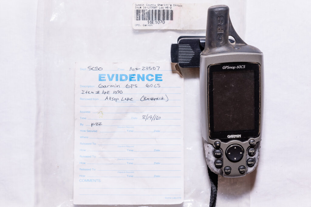
Eric Robinson’s Garmin GPSmap 60CS device was recovered from his backpack in 2016. Data recovered from the GPS unit showed some of Robinson’s movements during his solo trek in the High Uintas in 2011. Photo: Dave Cawley, KSL Podcasts
Marilyn agreed, and also provided data retrieved from a Garmin GPSmap 60CS device Eric had carried on his hike. The GPS data was stripped of timestamps upon export from the device, somewhat limiting its value.
In 2023, KSL investigative reporter Dave Cawley conducted an 8-day solo hike on the Uinta Highline Trail, with the intent of recreating as many of Eric’s photographs as possible. This analysis revealed Eric Robinson remained on the Uinta Highline Trail during his trek, with only two notable diversions. These are detailed later in this article.
A note about rephotography
Rephotography, or repeat photography, is the process of taking matching sets of images from the same location over a span of time. Positions in some of the image pairs presented here are precise to within a matter of centimeters, while others are more general. Minor differences are in some cases a result of mismatched camera settings (ie. focal length and aperture).
Eric Robinson’s camera gave the image files numerical file names. The photos are referenced by those numbers in this article. The originals have been reduced in resolution, but are otherwise unedited. Times of day listed in each caption were drawn from metadata embedded in the image files by the camera. The Pentax camera’s internal clock appeared to be set to Australian Eastern Standard Time, 16 hours ahead of Mountain Daylight Time (MDT). Times listed in the captions have been adjusted to the MDT time by subtracting 16 hours from the time indicated in the metadata.
All images captioned “2023 match” were captured by Dave Cawley using either a Canon R5 and RF 24-70 ƒ2.8L lens or an Apple iPhone 14 Pro.
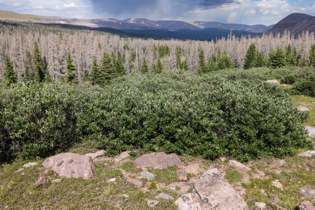
The Uinta Triangle rephotography project not only uncovered previously unknown details about Eric Robinson’s last hike, but it might also have scientific value, by revealing changes to the overall health of the forest ecosystem in the Uinta Mountains. Several of Eric’s 2011 photos seem to show healthy pine stands across the Uintas, while their 2023 matches reveal significant tree mortality in just the space of 12 years.
Day 1 – July 28, 2011 – Chepeta Lake Trailhead
5264 – Eric Robinson at Chepeta Trailhead. 1:03 p.m.5265 – Eric Robinson at Chepeta Trailhead. 1:03 p.m.5265 – 2023 match
Eric’s photographs show he departed on his solo trek early in the afternoon on this date. He’d hired a guide/outfitter to shuttle him from Vernal, Utah to the Chepeta Trailhead. That man is likely the person who took the two photos of Eric next to the trailhead sign.
The U.S. Forest Service replaced signage and made other changes at the trailhead sometime between 2011 and 2023, making it impossible to get an exact match of Eric’s photo.
Eric traveled just a short distance, just shy of 2 miles (~3 km) on this first afternoon before setting his first night’s campsite alongside the Uinta Highline Trail.
Also of note, there was no image numbered 5266 on the SD card from Eric’s camera. This is likely a result of Eric deleting that picture from the memory card. It is the only such instance of a missing image in the entire sequence.
Day 2 – July 29, 2011 – Crossing North Pole Pass
5267 – Eric Robinson’s first night campsite near the Chepeta Trailhead, photographed at 8:08 a.m. on the morning of his second day.5267 – 2023 match5268 – The southeastern edge of Reader Lakes. 8:55 a.m.5268 – 2023 match5269 – Wildflowers, Uinta Mountain Beardtongue (Penstemon uintahensis). 8:57 a.m.
Because 5269 does not show any identifiable landmarks, it could not be replicated in 2023.
5270 – Water crossing near Reader Lakes. 9:33 a.m.5270 – 2023 match5271 – Queant Trail vicinity looking east to Reader Basin. 10:33 a.m.5271 – 2023 match5272 – Queant Trail vicinity looking west to Taylor Lake. 11:47 a.m.5272 – 2023 match5273 – Various wildflowers along trail on ascent to North Pole Pass. 12:37 p.m.
Because 5273 does not show any identifiable landmarks, it could not be replicated in 2023.
5274 – Nearing top of North Pole Pass, looking east toward Reader Basin. 12:37 p.m.5274 – 2023 match5275 – “Signature photograph” showing Eric Robinson’s backpack, Ruby, next to the High Uintas Wilderness boundary sign atop North Pole Pass. 1:35 p.m.5275 – 2023 match5276 – North Pole Pass, looking west into Uinta River drainage. 1:54 p.m.
Due to a technical error, 5276 was not replicated in 2023. However, personal observation confirmed Eric Robinson captured this view from the Uinta Highline Trail.
5277 – North Pole Pass, looking west toward Fox Lake. 2:05 p.m.5277 – 2023 match5278 – Below North Pole Pass, looking west into Uinta River drainage. 2:42 p.m.5278 – 2023 match
Eric Robinson set his night two camp near the northeast shore of Fox Lake. This location is known because a pair of hikers spoke to Eric there the following morning. They took a photograph of Eric, shown below. It is the last known image of Eric.
Australian hiker Eric Robinson is shown at his campsite near Fox Lake in Duchesne County on July 30, 2011. Photo courtesy Duchesne County Sheriff’s Office.
Day 3 – July 30, 2011 – Fox Lake to Gilbert Creek
5279 – The north shore of Fox Lake, looking west toward Mount Emmons. 8:17 a.m.5279 – 2023 match5280 – Meadow west of Crescent Lake, looking south toward point 11,839. 9:49 a.m.5280 – 2023 match5281 – South of Samuels Lake, looking north toward South Burro Peak. 10:08 a.m.5281 – 2023 match5282 – South of Samuels Lake, looking southeast toward Mount Emmons. 10:08 a.m.5282 – 2023 match
Eric Robinson did not take any photographs on this date after 10:08 a.m. GPS data suggests he remained on the trail while proceeding to Gilbert Creek, where he made his third night’s camp.
Day 4- July 31, 2011 – Gilbert Creek to Painter Basin
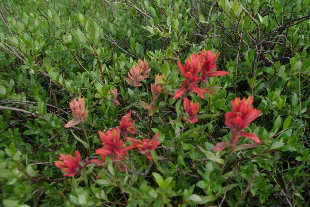
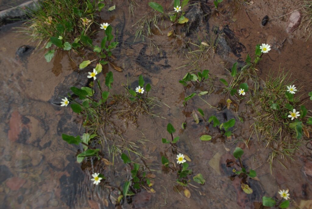
5283 – Small pond near Gilbert Creek, east of Milk Lake, looking west. 9:19 a.m.5283 – 2023 match5284 – Meadow south of Gilbert Creek Basin, looking east. 9:32 a.m.5284 – 2023 match5285 – Approaching Painter Basin, looking west toward South Kings Peak and point 13,306. Note the heavy overcast, indicating impending bad weather. 10:12 a.m.5285 – 2023 match5286 – Near the edge of Painter Basin, looking east. 10:51 a.m.5286 – 2023 match5287 – Eastern edge of Painter Basin, looking west at Kings and South Kings Peaks. 11:07 a.m.5297 – 2023 match5288 – Wildflowers, giant red paintbrush (Castilleja miniata). 3:34 p.m.5289 – Wildflowers, white marsh-marigold (Caltha leptosepala). 3:35 p.m.
Because 5288 and 5289 do not include any identifiable landscape features, they could not be replicated in 2023.
Day 4 proved to be an anomaly on Eric’s trek. He made very short progress, only about 3 miles (5 km), before stopping and making camp along a stream at the eastern edge of Painter Basin. Heavy overcast on the western horizon visible in some of Eric’s photos raise the possibility he might’ve needed to shelter from storms and decided the weather did not favor crossing Anderson Pass.
Day 5 – August 1, 2011 – Crossing Anderson Pass
5290 – Painter Basin, looking east. Note heavy cloud on eastern horizon. 10:05 a.m.5290 – 2023 match5291 – Painter Basin, looking west toward Anderson Pass and Kings Peak (obscured). 10:05 a.m.5291 – 2023 match5292 – Painter Basin, looking east over Uinta River drainage. 10:17 a.m.5292 – 2023 match5293 – “Signature photo” showing sign at junction of Uinta Highline and Chain Lakes-Atwood Trails. 10:18 a.m.5293 – 2023 match5294 – Painter Basin, looking northwest toward Anderson and Gunsight Passes. 10:35 a.m.5294 – 2023 match5295 – Painter Basin, looking south toward Trail Rider Pass. 10:35 a.m.5295 – 2023 match5296 – Various wildflowers, fleabanes. 10:42 a.m.
Because 5296 does not include identifiable landscape features, it could not be replicated in 2023.
5297 – Below Anderson Pass, looking east over Painter Basin. Note the footpath in the snowfield. The actual location of Uinta Highline Trail is at left edge of frame. The footpath was likely kicked into this low-angle while the formal trail was still covered by snow. 12:32 p.m.5297 – 2023 match5298 – Below Anderson Pass, looking south toward South Kings Peak. 12:32 p.m.5298 – 2023 match5299 – Below Anderson Pass, looking west toward Kings Peak. 12:32 p.m.5299 – 2023 match5300 – A yellow-bellied marmot (Marmota flaviventris) disguised among rocks. 12:44 p.m.
Because 5300 does not include any identifiable landscape features, it could not be replicated in 2023.
5301 – Snowfield on east side of Anderson Pass, looking east into Painter Basin. 2:04 p.m.5301 – 2023 match5302 – “Signature photo” at the top of Anderson Pass, looking up toward a false summit of Kings Peak. 2:05 p.m.5302 – 2023 match5303 – Anderson Pass, looking west over Yellowstone River drainage. 2:06 p.m.5303 – 2023 match5304 – The Yellowstone cirque below Anderson Pass, looking north toward Uinta headwall. 4:28 p.m.5304 – 2023 match
Anderson Pass is the highest point on the Uinta Highline Trail. Eric Robinson spent the entirety of his fifth day crossing it. His final photograph for the date, 5304, is critical to understanding his actions on day 6.
The Uinta Highline traverses high along the headwall in this image. Eric encountered an abnormal amount of snow there for the date in 2011, a result of both a heavy snowpack the prior winter as well as a delayed start to the melt. The drift at top center of Eric’s image 5304 covered the trail, forcing him to abandon the trail scramble down through the cliffs below.
Locating 5304 in the field proved difficult, as the Yellowstone cirque is quite large and littered with boulders that all share a similar appearance. The key to locating it was identifying a small cairn that someone had built atop the little hill in the left foreground (not visible in the image). It is likely Eric mistook that cairn for a trail marker and headed toward it upon reaching the floor of the cirque.
GPS data indicates Eric walked southwest from this point. Personal observation revealed the presence of a faint, unofficial footpath in this vicinity. It is likely Eric followed that path, incorrectly assuming it was the Uinta Highline Trail, until the footpath faded out near timberline. At that point, GPS data showed Eric turned north and headed in the direction of the actual Uinta Highline Trail, stopping just short of it to set camp.
Day 6 – August 2, 2011 – Diversion down Yellowstone Creek
5305 – Sunrise over Kings Peak, with Eric’s camp in the Yellowstone River cirque still in shadow. 7:34 a.m.5305 – 2023 match5306 – Looking south down the Yellowstone River drainage. 7:35 a.m.5306 – 2023 match5307 – 7:41 a.m.5308 – 7:54 a.m.5309 – A mule deer (Odocoileus hemionus) near Eric Robinson’s camp in the Yellowstone River cirque. 7:54 a.m.
Because 5307, 5308 and 5309 did not include any identifiable landscape features, they could not be replicated in 2023.
5310 – Looking northeast at cliffs and waterfalls below Point 12,407. 9:14 a.m.5310 – 2023 match5311 – Wildflowers, alpine laurel (Kalmia microphylla). 9:32 a.m.
Because 5311 does not include any identifiable landscape features, it could not be replicated in 2023.
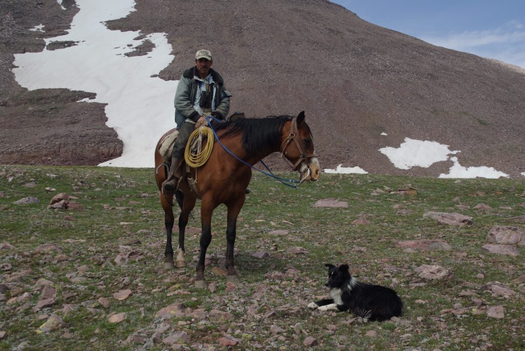
5312 – Sheep grazing southeast of the Uinta Highline Trail in the Yellowstone River basin, looking toward Milk Lake and point 12,646. 9:47 a.m. 5312 – 2023 match5313 – “Signature photo” at junction of Uinta Highline and Yellowstone Trails, looking east toward Anderson Pass and Kings Peak. 9:48 a.m.5313 – 2023 match5314 – An unidentified sheepherder, horse and dog at a campsite south of the Uinta Highline Trail. 10:24 a.m.5315 – Two unidentified sheepherders at a campsite south of the Uinta Highline Trail. 10:27 a.m.
The general location of the sheepherder camp was confirmed by the presence of several structures (a small wooden shelter, hitching posts, a drying rack) and copious amounts of trash. However, the exact locations of 5314 and 5315 could not be verified in the field.
5316 – Cascades on Yellowstone Creek. 11:01 a.m.5316 – 2023 match
About 45 minutes after taking photo 5316, Eric Robinson encountered a group of Boy Scouts at a point farther south on the Yellowstone Trail. Two adult leaders with that Boy Scout group later told the Duchesne County Sheriff’s Office that Eric recognized he was no longer on the Uinta Highline Trail and requested assistance navigating his way back to it. Scout leader Russ Alston’s account of that exchange is detailed in episode 5.
Alston said he recommended Eric return to the Uinta Highline by way of the trail along Garfield Creek, a tributary of the Yellowstone. The final photograph Eric took on this day proves he followed Alston’s advice.
5317 – Five Point Lake, looking west toward point 12,268. 6:28 p.m.5317 – 2023 match
Day 6 was by far the longest in both distance and time spent walking of Eric’s trek. Personal observation suggests Eric’s departure from the Uinta Highline Trail was likely an intentional decision to bail out, ending his hike prematurely in response to his harrowing, off-trail descent from Anderson Pass the day prior.
Day 7 – August 3, 2011 – Garfield Basin to Lambert Meadow
5318 – Garfield Basin, looking west toward Stone Peak. 9:13 a.m.5318 – 2023 match5319 – Tungsten Pass, looking southwest toward Five Point Lake. 9:31 a.m.5319 – 2023 match5320 – “Signature photograph” showing Eric’s backpack, Ruby, at the junction of the Garfield Basin Trail with the Uinta Highline Trail. 9:41 a.m.5320 – 2023 match5321 – Tungsten Lake, looking north toward Wilson Peak. 9:45 a.m.5321 – 2023 match5322 – A sheepherder on horseback and a dog along the Uinta Highline Trail near Porcupine Pass. 11:07 a.m.5322 – 2023 match5323 – Porcupine Pass, looking southeast across the upper Garfield cirque. 11:57 a.m.5323 – 2023 match5324 – Porcupine Pass, looking southwest across Oweep Creek cirque. 11:58 a.m.5324 – 2023 match5325 – Cliffs south of Porcupine Pass. 11:58 a.m.
Due to the imminent threat of lightning, 5325 was not replicated in the field in 2023. However, personal observation confirmed it was taken at the same location as 5324.
5326 – A large bird of prey soars in blue skies. 12:00 p.m.
Because 5326 does not include any identifiable landscape features, it could not be replicated in 2023.
5327 – A herd of sheep walk line abreast across the Oweep Creek cirque. 12:53 p.m.5327 – 2023 match5328 – The upper Oweep Creek cirque, looking north toward Porcupine Pass. 12:53 p.m.
Due to an oversight, 5328 was not replicated in 2023. However, personal observation confirmed it was taken at the same location as 5327.
5329 – Damaged sign at junction of Uinta Highline and Nahguch Pass Trails. 1:38 p.m.5329 – 2023 match5330 – Unnamed pond east of point 11,883, looking northeast. 4:16 p.m.5330 – 2023 match5331 – Lambert Meadow, looking northwest to point 11,862. 5:20 p.m.5331 – 2023 match
Day 8 – August 4, 2011 – Eric Robinson’s final day
5332 – Meadow in the upper Lake Fork River drainage, looking south toward Moon Lake. 9:42 a.m.5332 – 2023 match5333 – Red Knob Pass, looking southwest toward Explorer and Kweeyahgut Peaks. 12:15 p.m.5333 – 2023 match5334 – Red Knob Pass, looking south down Lake Fork River drainage. 12:15 p.m.5334 – 2023 match5335 – Red Knob Pass, looking east at Mount Lovenia. 12:15 p.m.5335 – 2023 match5336 – Red Knob Pass, looking west at Lake Ejod and point 12,642 in West Fork Blacks Fork drainage. 12:15 p.m.5336 – 2023 match5337 – Below Red Knob Pass, looking northwest at Mount Beulah. 12:16 p.m.5337 – 2023 match5338 – Below Red Knob Pass, looking southwest at upper West Fork Blacks Fork drainage. Dead Horse Pass is shown to be largely snowbound, in the center of the frame. 12:26 p.m.5338 – 2023 match (note: a more precise match for 5338 was not collected in the field, this is the closest alternate. Although Dead Horse Pass is quite distant from this vantage, a stark difference in snow levels between 2011 and 2023 is evident)5339 – Wildflowers, including moss campion (Silene acaulis) and shrubby cinquefoil (Potentilla fruticosa). 12:27 p.m.
Because 5339 does not include any identifiable landscape features, it could not be replicated in 2023.
5340 – The outlet of Dead Horse Lake, looking southwest at point 12,642. 2:24 p.m.5340 – 2023 match5341 – Dead Horse Lake outlet, looking southwest at point 12,642. This is the last photo from Eric Robinson’s camera. 2:26 p.m.5341 – 2023 match
Eric’s final two photos, taken at Dead Horse Lake, do not show the route of the Uinta Highline Trail over Dead Horse Pass. However, the pass would’ve been visible to him from that vantage point. It is conspicuous that he did not photograph the pass itself, suggesting he might have mistakenly believed it ascended up the slope adjacent to point 12,642, rather than the actual location at a lower point just to the east (left of the image frame).
The saddle separating Dead Horse and Allsop Lakes is visible at the far right in image 5341. Eric’s remains were located on the far side of that saddle.
Final breadcrumbs – The end of Eric Robinson’s GPS data
While Eric’s photos end at Dead Horse Lake, the GPS data did not. Two clusters of placemarks recorded by the Garmin device suggest Eric twice checked his position while moving west toward the saddle, away from Dead Horse Lake. The GPS data therefore seems to indicate Eric made a conscious decision to depart from the Uinta Highline Trail, in the hopes of avoiding Dead Horse Pass by crossing the saddle into the East Fork Bear River drainage and following an established trail from Allsop Lake out to the Mirror Lake Highway.
An unofficial trail zig-zags up the eastern (Dead Horse Lake) side of the saddle. Eric’s GPS data revealed he moved in the direction of that trail and likely used it to ascend to the top of the saddle. From there, he would’ve had a picturesque view of Allsop Lake. Eric did not take any photographs from the top of the saddle, meaning he was likely moving with a degree of urgency to descend far side.
Looking down on Allsop Lake from an unnamed saddle as storm moves across the East Fork Bear River drainage on Aug. 2, 2023. Photo: Dave Cawley, KSL Podcasts
Marilyn Koolstra returned home from the failed search for her missing husband, Eric Robinson, on Saturday, August 20, 2011. She and her daughter, Rachel Marsden, went straight from the Melbourne, Australia airport to a birthday party.
Rachel’s daughter, Annabel, was turning 6. Her husband, Jeremy, had invited friends over to celebrate.
“Jeremy had made a birthday cake in the shape of a lolly shop,” Rachel said. “We had a birthday party for 20 grade prep children that afternoon.”
It was a clash of moods. The exuberant kids did not understand the gravity of what Rachel, Marilyn and the rest of the people who knew and loved Eric were feeling. The adults all grappled with the grim understanding that Eric was dead, and that no one knew where he was or what’d happened to him.
“I was very upset and emotional for some time,” Rachel said. “I’d been really focused on a task up until that point, and also hoping it wasn’t that reality.”
Limbo after Eric Robinson’s disappearance
Marilyn, like her daughter, struggled with pent-up feelings of sadness, frustration, anger and despair upon her return to Australia.
“Walking back into the house without Eric and knowing that he would never be here again, that was a challenge. It was in my face. It was the lack of presence,” Marilyn said. “There was nobody sitting in that space of his on the couch. It was overwhelming that first day. I went out to the garden.”
Eric’s pride and joy had been the garden that surrounded his home in the forested suburb of Heathmont. He’d filled the space with Australian native plants, to draw in birds and wildlife.
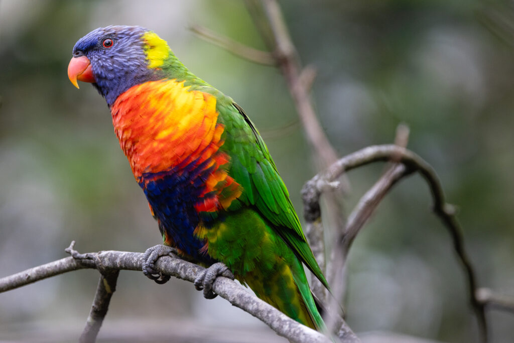
A rainbow lorikeet perches on a branch in the garden Eric Robinson once tended. Photo: Dave Cawley, KSL Podcasts
“I remember going out to the garden and walking around and just looking at what he had created and what he had enjoyed and thinking, ‘What do I need to do? What would he be doing,” Marilyn said.
Eric’s disappearance in the High Uintas Wilderness of Utah left Marilyn with many loose ends. Under the law in Victoria, Eric couldn’t be declared dead until at least 7 years passed. That meant Marilyn, as co-executor of Eric’s estate, couldn’t enact his last will and testament.
“Everything was in limbo,” Marilyn said. “There’s no end to that.”
Months went by, and winter arrived in the northern hemisphere. Marilyn understood the chances of anyone finding evidence of Eric’s passing diminished with each day, especially as snow buried the Uinta Mountains.
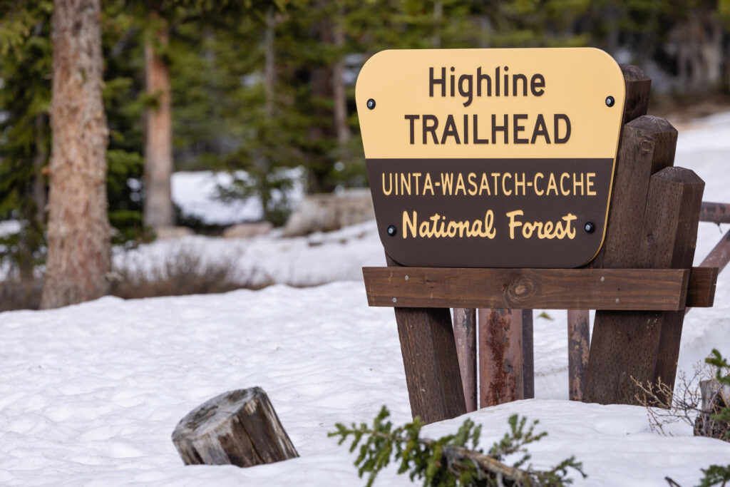
Trailheads in the Uinta Mountains close during winter months in the northern hemisphere because deep snow blocks access. Photo: Dave Cawley, KSL Podcasts
“I knew the seasonal access was coming to a close and didn’t really expect anything before Christmas of that year,” Marilyn said. “But every spring I hoped that with the melt and the hikers going up there, perhaps something would happen.”
But year after year, Marilyn found herself disappointed. The Uinta Mountains were not yielding up any clues.
Tending to Eric Robinson’s gardens
Marilyn occupied her time by redoubling herself to her career. She worked as principal at Valkstone Primary School, a role she relished. Eric had spent time there, too, as a handyman and gardener.
“I recall driving in there for the first time [after returning to Australia] thinking, ‘Eric’s missed here, too,’” Marilyn said. “The garden was in need of attention and the maintenance aspects hadn’t been done.”
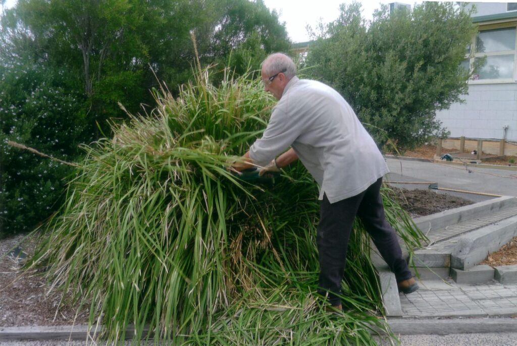
Eric Robinson tends to plants at Valkstone Primary School. Photo: courtesy Marilyn Koolstra
Seeing Eric’s work neglected stung Marilyn more deeply than she’d anticipated.
“Because he was very proud of that. We’d created gardens and play spaces. And one of the first things I did was go in search of a person to take on those tasks,” Marilyn said.
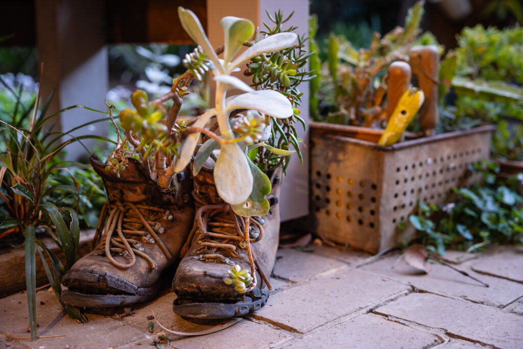
She tended to Eric’s home garden herself, keeping the banksias and grevilleas growing well. She added to the garden as well, finding ways to commemorate Eric. One day, she came across an old, worn-out pair of his hiking boots.
“I thought, ‘I know, I’ll just fill them up with soil and pot succulents, things that will grow readily,’” Marilyn said.
Marilyn Koolstra planted succulents in worn-out hiking boots, in memory of her missing husband, Eric Robinson. Photo: Dave Cawley, KSL Podcasts
She placed the improvised planters on the patio, watering them as necessary. Over time, the succulents sprouted and expanded, filling the old boots with new life. Month after month, year after year, she showed her love to Eric by tending for his garden, not realizing another one of his boots would surface half a world away.
A surprise discovery at Allsop Lake
Five years after Eric Robinson’s disappearance a family in Utah departed for a summer vacation in the High Uintas Wilderness. One of the members of the family, Kelvin Judd, said it was an annual tradition.
“Some of my earliest outdoor experiences, I remember my dad putting me on a horse when I was five and we headed up to Amethyst Lake,” Kelvin said. “I’ve been to several of the basins. My dad would name them all.”
For this trip, Kelvin’s father Mark Judd selected Allsop Lake at the top of the East Fork Bear River drainage as the destination. Unlike some other popular spots in the Uinta Mountains, Allsop sees relatively light visitation in part because it is not linked by established trails to any of the other basins.
The outlet of Allsop Lake, at the head of the East Fork Bear River drainage in Utah’s High Uintas Wilderness. Photo: Dave Cawley, KSL Podcasts
Kelvin was joined by his dad, his mom, some siblings and nephews.
“Arrived early in the afternoon and our plan was to be there two or three nights,” Kelvin said. “We set up camp there on the east side of the lake.”
The next day, on Thursday, August 18, 2016, Kelvin, his dad and brother, Kimball Judd, decided to take a hike away from camp. They wanted to find a way up to the top of a saddle, or ridge, east of Allsop Lake. The ridge separates the East Fork Bear River drainage from West Fork Blacks Fork basin, home to Dead Horse Lake.
The Judd men had been to the top of the saddle once before, years earlier, from the Dead Horse side.
“My dad’s in his 60s,” Kelvin said. “He wanted to see if we could get back up there on that pass and look over into Dead Horse.”
As the three men ascended the wooded slope behind their camp, they heard the voices of other hikers coming down from the ridge high above by way of a talus slope at the north end of the saddle.
“We decided not to go that way,” Kevin said.
They eyed another potential route to the top of the saddle, by way of a couloir a bit farther to the south, and started angling up across a steep, rock-strewn slope toward it.
Looking south along the western side of the saddle separating the East Fork Bear River and West Fork Blacks Fork drainages in the High Uintas Wilderness. Photo: Dave Cawley, KSL Podcasts
“We needed to get up closer to the head of the drainage to get to that place where we could scramble to the top because there are several bands of cliffs in the middle of that ridge that you can’t scale,” Kelvin said. “As we were angling up there … probably a hundred yards below us there was a great big boulder.”
Mark Judd spotted something red sitting against the uphill side of the rock. Kelvin was carrying binoculars and used them to take a closer look.
“I said, ‘That looks like a backpack,’” Kelvin said.
Sleuthing on the side of the mountain
Mark, Kimball and Kelvin were curious about how a backpack might end up on the slope, far from any established trail or campsites. They started working downhill through the rocks toward it, and soon came across more abandoned equipment.
“I could see something kind of flapping in the wind and, ‘That looks like a tent,’ or a piece of a tent or camp chair of something,” Kelvin said. “We found some trekking pole and that tent, and some articles of clothing. And it, just none of it added up.”
A sun-faded red backpack sat wedged against a boulder on the slopes above Allsop Lake on Aug. 18, 2016. Photo: courtesy Kelvin Judd
The Judds were confused as to who might’ve left clothing and supplies strewn across the slope, until they made the greatest discovery of all.
“The thing that really turned into something incredible, is my brother found a hiking boot there,” Kelvin said. “You just see the bottom of it from where we were standing and you see the Vibram sole. And I can still see that in my head. And he picked up that hiking boot and sticking out of the hiking boot was a tibia and fibula broken off below the knee, with hiking socks half-torn over it.”
Kelvin recognized they’d discovered the partial remains of a person.
“You kind of do a double-take,” Kelvin said. “You look up and you look down and you think, ‘Where did he come from? How did he get here? This is not where anyone would naturally end up.”
The Summit County Sheriff’s Office photographed and collected the property and remains located on the mountain above Allsop Lake in 2016. The evidence confirmed the remains were those of missing Australian trekker Eric Robinson. Photo: Summit County Sheriff’s Office
The Judd men continued down to the sun-faded red backpack. They opened the top flap and withdrew a sealed, bear-resistant food canister. It had an Australian flag sticker stuck to the outside.
“That was my first sleuthing,” Kelvin said. “I thought, Well, let’s see what the expiration date is on this food. And there was a granola bar in there that expired in 2012.”
That was one year after Eric Robinson’s disappearance. None of the Judd men were familiar with the story of Eric vanishing from the Uinta Highline Trail. They were soon to discover they’d just become key players in the unsolved case.
“On the bottom of that backpack was a wallet,” Kelvin said. “To our surprise, Australian driver’s license with Eric Robinson’s name on it.”
Dead Reckoning – The last hope of finding Eric Robinson
By Dave Cawley, KSL Podcasts
Hiker and mountaineer Art Lang felt an urgency to assist in the search for missing Australian trekker Eric Robinson.
“I said to myself, ‘I need to rest up, but I’m going to go back in,’” Art said.
It was Friday, August 12, 2011. Art and a friend were just completing a week-long hike from Leidy Peak to the Mirror Lake Highway on the Uinta Highline Trail. They’d departed a day before solo hiker Eric Robinson was supposed to reach the same end point.
A few days into their hike, Art and his friend encountered a hiker near Anderson Pass who was handing out missing persons fliers.
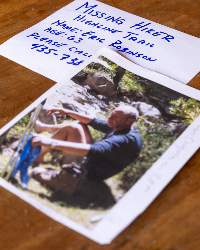
Eric Robinson’s hiking friends passed out these fliers along portions of the Uinta Highline Trail during the search in August of 2011. Photo: Dave Cawley, KSL Podcasts
“We saw, talked to a person that talked about Eric,” Art said.
The person Art spoke to could only have been Jonathan McAuley, an avid hiker whom Eric Robinson had befriended on the John Muir Trail five years earlier. Official reports from the search noted Jonathan hiked from Henrys Fork to the Highline Trail in Painter Basin, looking for Eric, on Tuesday, August 9, 2011. That’s the same date Art Lang passed through Painter Basin westbound on the Highline Trail.
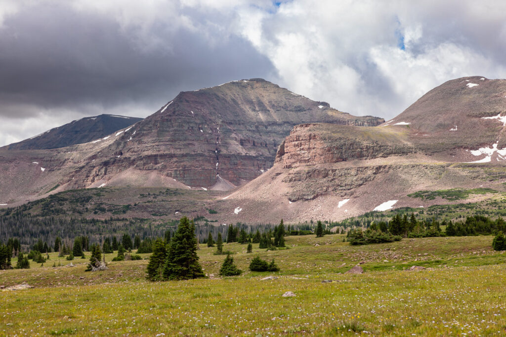
Painter Basin, looking south toward unnamed summits on the Kings Peaks ridge. Photo: Dave Cawley, KSL Podcasts
“My interest was piqued,” Art said. “I thought, ‘Wow, if we’re walking the same thing, I guess we’re going to be looking for [Eric] the next four or five, six days.”
Danger at Dead Horse Pass
Art did not see any sign of Eric over the course of that week, as he and his friend continued westbound on the trail. They did encounter roughly 2,000 sheep in the vicinity of Lambert Meadow, along with a few men who were tending the flock.
“The gentlemen that we encountered were Chilean of Peruvian shepherds that had been recruited to be there and they spoke not a speck of English,” Art said.
A day later, Art and his friend met a large group from Indiana on the trail, as they headed toward Red Knob Pass.
“[The Indiana hikers] were discouraging people from going over Dead Horse Pass,” an official report said. “They were telling people to take an alternate route and going over Cleveland Pass through the Granddaddy Basin area back to the High Line [sic] Trail.”
In this same vicinity, Art and his friend also ran into another of Eric Robinson’s friends, Julia Geisler, in the upper reaches of the Lake Fork drainage. The Duchesne County Sheriff’s Office had flown Julia and her partner, Blake Summers, into the wilderness by helicopter on Wednesday, August 10.
Julia and Blake were headed for Dead Horse Pass themselves, on an assumption the steep, north-facing slope of the pass might’ve been too frightening of an obstacle for Eric to cross.
“Dead Horse Pass is the most difficult pass on the entire crossing,” Art said. “It is steep and it’s snowbound for almost the entire year. And the trail, when it’s visible, is not in great condition. It does switchbacks up the side of the talus slope, but then it crosses a steep, high-angle slope above a bunch of cliffs.”
Navigation crux
Art and his hiking companion managed to cross a partially snowbound Dead Horse Pass on Thursday, August 11, 2011. They completed their hike the following day. As soon as he arrived home, Art called the Duchesne County Sheriff’s Office to report his experience.
In an official report, Chief Deputy Dave Boren wrote Art said “the trail was in poor shape and not well marked in some of the areas.” Art specifically said the trail between Porcupine and Red Knob Passes had been badly damaged by domestic sheep.
“[Art] said from Rocky Sea Pass to the Mirror Lake Trailhead, the trail was in good shape and a lot of people were navigating it and knew that Robinson was missing and were watching for him,” Boren wrote. “In Art’s opinion that is one place he wouldn’t worry about searching.”
Explorer Peak, as viewed from the Uinta Highline Trail in the upper Lake Fork River drainage. Art Lang met Eric Robinson’s friend, Julia Geisler, in this vicinity during the search for Eric in 2011. Photo: Dave Cawley, KSL Podcasts
About an hour and a half following Art’s call to the sheriff’s office, a pair of Boy Scout leaders reported having encountered Eric Robinson five miles off the Uinta Highline Trail, on August 2, 2011. The scout leaders said Eric had recognized he was off-route and requested assistance finding his way back to the trail.
Art believed Eric might’ve become lost while trying to navigate the section of the trail along Oweep Creek, at the head of the Lake Fork drainage, where he’d observed significant trail damage from the sheep herd. He believed it was the “navigation crux” of the Highline.
“The upper Oweep, close to that navigation crux, was missing a trail because it was just hundreds of sheep trails going every which way, and every blade of grass was down to the nubbins or gone,” Art said.
While resting up for two days over the weekend, Art learned volunteer searchers were planning to gather at first light on Monday, August 15, at Moon Lake on the south flank of the Uinta Mountains. He decided he would join them.
Art Lang joins the search for Eric Robinson
Art reloaded his backpack with food and supplies to last a few days and drove to Moon Lake early that morning.
“I showed up to the deputy on duty who was managing the whole thing and I said to him, ‘Hey, my name is Art Lang. I just traveled the whole Highline. In fact, I know the Uintas very well. Can I help you with the search?’ And he saw my backpack on and he goes, ‘Yes, you really can,’” Art said.
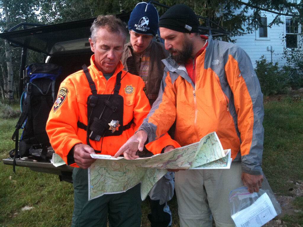
They looked over a map of the High Uintas Wilderness together and Art pointed out his so-called “navigation crux.”
Art Lang (right) briefs “trackers” Jason Jackney (center) and Albert Parcal (left) on navigational challenges along the Uinta Highline Trail on Aug. 15, 2011. Photo: courtesy Marilyn Koolstra
“We went over that in detail and he started sending the helicopter crew up there,” Art said. “Then at the end of that I said, ‘But I’m here to actually go search, so I want you to fly me up into this navigation crux and I’m going to go looking for this guy.’ And he looked at me and said, ‘I can’t let you do that.’ And I said, ‘You can’t let me do it? That’s really the wrong way to put it.’”
Art explained he had vast experience hiking in the Uinta Mountains and navigating the nooks of the range. He said he intended to go search, and would walk the 15 one-way miles from Moon Lake to the Highline Trail if necessary.
“I had to talk them in to letting me go, and I did that by telling them, ‘Hey, I got my full pack here. I just crossed the whole thing. I’m rested up. I’m going in with four days of food. And if you won’t airlift me, it’s going to take me a day-and-a-half to get up there and a day-and-a-half to get out and I’ll have one day to search. But if you fly me in, I’ll spend the next four days searching for you. And this guy deserves that kind of respect,’” Art said. “The sheriff’s deputy took pause and he said, ‘Let me talk to some people.’ And he got on the radio and called the actual sheriff, and the sheriff said, ‘Let him go in.’”
Art was in the hunt. Question was, would he be able to find Eric before time ran out?
Business Casual of the Backcountry – A scoutmaster’s sighting of Eric Robinson
By Dave Cawley, KSL Podcasts
Marilyn Koolstra, the wife of missing Australian trekker Eric Robinson, traveled halfway around the world in the hopes of joining the search for her husband. On her second day in Utah, she struggled to simply get in contact with the sheriff in charge of the effort.
“We started calling on Friday, asking to speak,” Marilyn said.
She expected to be connected to the people who were tasked with with finding Eric, thinking they’d be eager to hear from her.
“That was my expectation,” Marilyn said. “That was how we operated in Australia. The family, or the closest relatives, were in direct and regular communication with the headquarters of the search.”
So it came as a shock when the person who answered the phone at the Duchesne County Sheriff’s Office told Marilyn no one was available to speak with her, as they were all out in the field taking part in the search.
“They clearly had no news to share,” Marilyn said. “It was a little frustrating, but the whole scenario of him being missing was frustrating because how dare he?”
Marilyn Koolstra visits the Highline Trailhead
It was Friday, August 12, 2011. The search for Eric was in its 5th day. Marilyn, her daughter Rachel Marsden and Eric’s hiking friend Devon McClive were staying at a home in Park City, about an hour-and-a-half drive from the search headquarters in Duchesne.
In the absence of a call from the sheriff, Marilyn decided the best use of time would be to post missing persons fliers at campgrounds and trailheads near where Eric’d planned to finish his hike.
Devon drove Marilyn and Rachel up the Mirror Lake Highway, to the Highline Trailhead just below Hayden Peak. They walked a short distance out on the trail, to a rocky outcropping that overlooked a forested expanse at the headwaters of the Duchesne River. It comprised just a small portion of the Uinta range, which Eric’d planned to hike across.
Marilyn Koolstra walks toward an outcrop overlooking the Duchesne River headwaters in the Uinta Mountains on Aug. 12, 2011. Photo: courtesy Marilyn Koolstra
Rachel felt awed by the scale of the mountain landscape.
“I remember thinking, ‘Eric, what were you thinking mate,’” Rachel said. “Once I could visualize it, I then was starting to probably prepare myself for any number of realities.”
Up to that point, Rachel’d held onto hope that Eric was alive but perhaps lost or incapacitated. Each passing day without any sign of him made it less likely he would turn up, overdue and apologetic for causing a ruckus.
Julia Geisler feels the clock ticking
Another of Eric’s hiking friends, Julia Geisler, was at that same time deep in the backcountry of the Uinta Mountains, assisting in the search. Julia and her partner Blake Summers were looking for any sign of Eric in the vicinity of Dead Horse Pass.
“We’ve never been a part of a search and rescue operation,” Julia said.
They suspected late-season snow that still draped portions of the Uinta Highline Trail at Dead Horse Pass might’ve been a hazard too difficult for Eric to overcome.
“At this point, he’s probably had an accident of some sort or he’s lost and he needs to be found, like he needs a rescue,” Julia said.
Hayden Peak, a prominent landmark in the Uinta Mountains, looms over the Highline Trailhead where Eric Robinson planned to complete his trek. Photo: Dave Cawley, KSL Podcasts
Trouble was, there hadn’t been any reported sightings of Eric since another hiker photographed him near Fox Lake on July 30. That sighting was almost two weeks prior, and roughly 60 miles of trail were between Fox Lake and the Mirror Lake Highway.
“We were feeling like we’ve got to just put in the long, long days on the trail to get out there and search as much as we possibly can,” Julia said.
Marilyn had also done her part by granting an interview to KSL-TV shortly after arriving in Utah from Australia. Her comments were spreading online, and were published in the Deseret News the following morning, on Saturday, August 13, 2011.
A scoutmaster’s encounter with Eric Robinson
The newspaper article made an immediate impact. On that Saturday morning, a man named Russ Alston was washing his Chevy Suburban when he received a call from a neighbor, Jay.
“He said, ‘Hey, did you read the paper this morning,’” Russ said. “I said, ‘No.’ And he said, ‘Read the front page of the local.’”
Russ retrieved his copy of the Deseret News, flipped to the B section and saw an article with the headline “Hiker Missing in Utah’s High Uintas.” Below the headline, Russ saw a photo of Eric Robinson.
“I read the full article and it was essentially that Eric Robinson was overdue at the pickup point on the western extreme of the Highline Trail,” Russ said.
Russ Alston sits during an interview with KSL-TV about the disappearance of Eric Robinson in 2019. Photo: KSL-TV
The article noted the last known sighting of Eric was at Fox Lake on July 30. Russ knew that was wrong. He’d seen Eric in the High Uintas Wilderness a few days later, on August 2. But Eric had not been on the Uinta Highline Trail at that time.
Russ’ encounter with Eric occurred about five miles south of the Highline, along a different trail that runs perpendicular to it. Russ, Jay and a third man were leading a trio of Boy Scouts up into the wilderness on a 50-mile trek.
“Kings Peak, the highest point in Utah, was the ultimate goal and we were going to take six days to carry out that plan,” Russ said.
A small tarn in the Yellowstone Basin of the High Uintas Wilderness reflects an image of Kings Peak and Anderson Pass. Photo: Dave Cawley, KSL Podcasts
They were only on their second day, pausing for snacks and water shortly before noon, when a well-equipped solo hiker came down the trail traveling the opposite direction.
“We chat with this gentleman for 20 to 30 minutes about his experience and what we’re doing,” Russ said.
That gentleman was Eric Robinson, and he reportedly told the Boy Scout group that he’d lost the Uinta Highline Trail the previous day while crossing Anderson Pass. A high-angle snowdrift covered a portion of the trail, forcing Eric to divert down a steep, rock-strewn slope in an effort to avoid it.
“His complaints were that he couldn’t see markings, and then he described kind of hand-over-foot letting himself down the face of the rock,” Russ said. “He had a good attitude, but I would say complaining about the condition of the trail.”
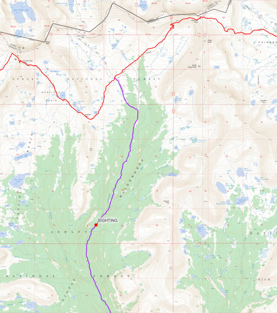
This map shows portions of the Uinta Highline Trail, highlighted in red, and the Yellowstone Creek Trail, in purple. The location where Russ Alston encountered Eric Robinson is also marked.
Russ couldn’t quite understand how Eric’d then veered so far off course, dropping far down into the canyon of Yellowstone Creek rather than relocating the Uinta Highline Trail below the pass and continuing on it westbound.
“Because he was headed south now and we were headed north up into that basin,” Russ said. “We got maps out and I kind of described some of those options he had to return to the Highline.”
Russ told Eric if he continued south, down canyon for a short distance, he’d find a trail that split off going north and west. It would take Eric up through the Garfield Basin and eventually return him to the Uinta Highline Trail. Eric reportedly told Russ that’s what he would do, then headed off down the canyon.
Was Eric Robinson lost?
Russ Alston reported this information to the Duchesne County Sheriff’s Office, which notified Eric’s wife Marilyn Koolstra of the new information late in the day on Saturday, August 14.
“It was hopeful in some ways, but in other ways it was, ‘Well, if he’s off the trail, what now? Where do you search,’” Marilyn said. “I had no understanding of that, it was not my territory.”
The sheriff’s office informed Marilyn it would be sending searchers on horseback into the Garfield Basin in search of Eric, starting the next morning.
“So there was renewed home of some conclusion,” Marilyn said.
At the same time, Rachel felt a sinking feeling over knowing Eric had deviated from the Uinta Highline trail.
“There was the question of, ‘He was a little off the trail. He was a little bit lost. Did he actually know what he was doing? Was he a little disoriented,’” Rachel said. “In the absence of information, all these other questions would arise.”
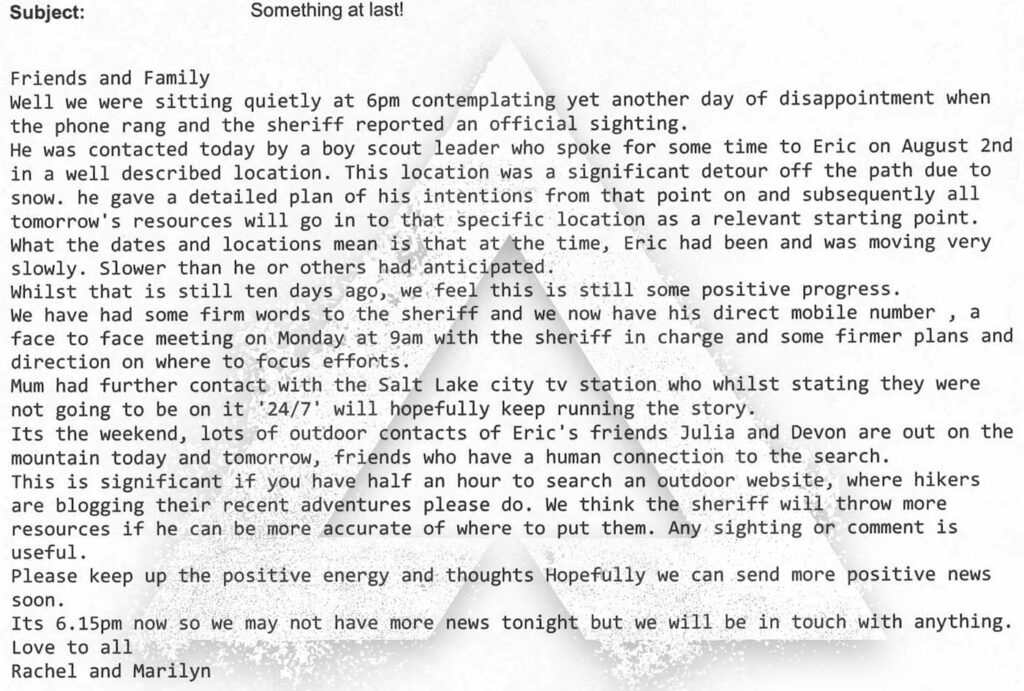
Rachel drafted an email to send to friends and family of Eric back home in Australia. In the message, she noted the sighting of Eric by the Boy Scouts along Yellowstone Creek and said the date and time proved Eric’d been progressing “slower than he or others had anticipated.”
Rachel Marsden sent this email to a group of Eric Robinson’s family and friends on Saturday, Aug. 13, 2011, updating them about the sighting of Eric by a Boy Scout group.
Although Rachel’s message carried a hopeful tone, she privately harbored a worsening fear that Eric might no longer be alive.
“Too much time’s passed,” Rachel said. “Something untoward’s happened. But what’s that untoward, and are we actually going to figure that out?”
No Trace – Wilderness confounds the search for Eric Robinson
By Dave Cawley, KSL Podcasts
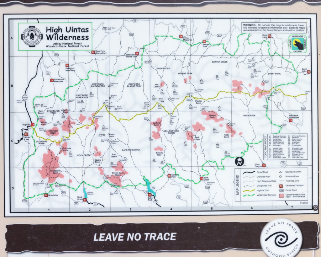
Signboards at trailheads all around the Uinta Mountains urge visitors to “leave no trace.” Since the 1930s, the core of the Uinta range has received special protection, first as a “primitive area” and later as a Congressionally-designated Wilderness.
Hikers, hunters and horse-packers who travel through the High Uintas Wilderness are urged to practice a special form of outdoor ethics, to “take only photographs and leave only footprints.”
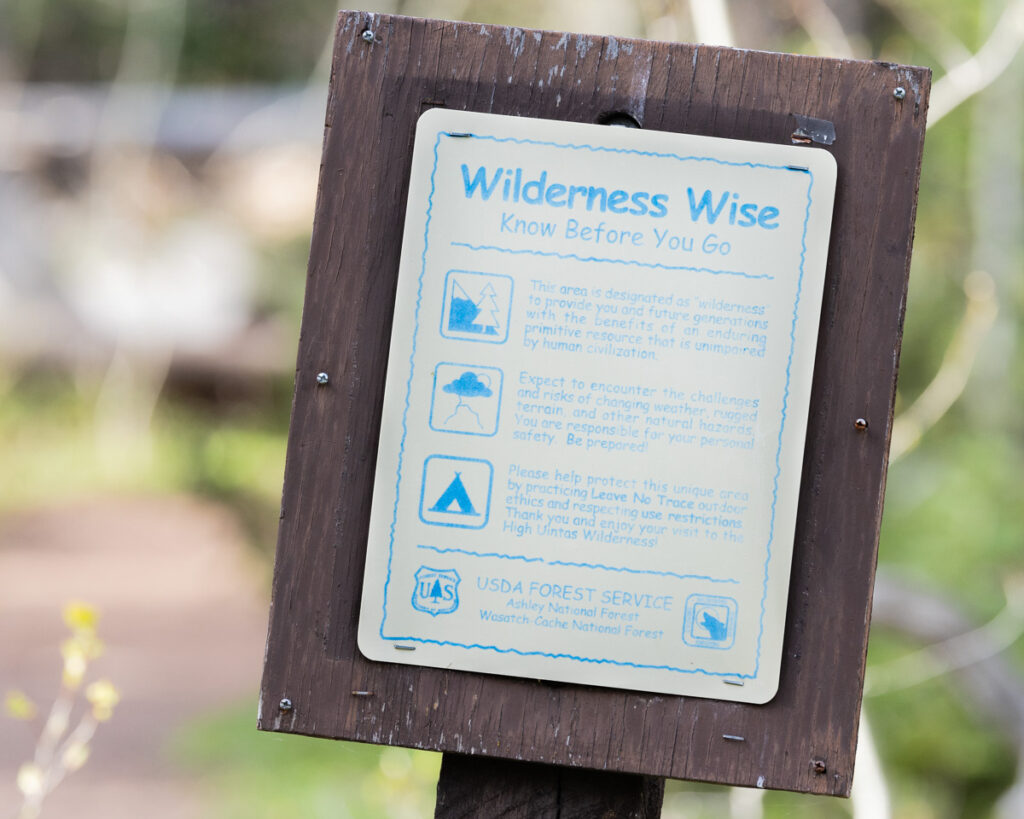
A sign warns visitors to the High Uintas that they are entering a protected wilderness area. Photo: Dave Cawley, KSL Podcasts
That approach helps preserve the wildness of the High Uintas for future generations, but it also complicates the task of finding a wilderness traveler, like Australian trekker Eric Robinson, when something goes wrong.
Marilyn Koolstra travels to Utah
In episode 3, Eric’s wife Marilyn Koolstra described learning that her husband failed to return from his solo trek on the Uinta Highline Trail. Within a couple of days, Marilyn and her daughter, Rachel Marsden, were on a plane bound for the United States.
“It was not an easy trip,” Marilyn said. “It was long across the Pacific.”
Worse yet, Marilyn and Rachel’s last-minute booking meant they were not seated together. Surrounding them in the passenger compartment of the plane were a group of rowdy young Australian men headed to Las Vegas, Nevada for a bachelor party.
“It was hard,” Rachel said. “You’ve got that sense of time passing and it dragging super slowly, with this sense of urgency of wanting to be there.”
Flying eastbound across the International Dateline meant that Marilyn and Rachel’s long flight across the Pacific took off and landed on the same date. Both mother and daughter felt a sense of disorientation upon arriving in Los Angeles, then making their connecting flight to Utah.
One of Eric’s hiking friends, Devon McClive, picked Marilyn and Rachel up from Salt Lake City International Airport and drove them to a house in the ski resort community of Park City where they would stay for the duration of their visit.
“Devon was filling in what had happened so far,” Marilyn said.
Another of Eric’s hiking friends, Julia Geisler, was out with her partner Blake Summers looking for Eric in the High Uintas Wilderness. The Duchesne County Sheriff’s Office had its own search and rescue teams out as well.
Marilyn Koolstra’s TV interview
Marilyn found herself struggling to make sense of everything happening related to the search.
“I’m probably a little big jet-lagged, certainly traumatized to a point of maybe not clearly thinking about the whole process yet,” Marilyn said.
She’d hoped to head straight to the search command post, but was unable to get in touch with the Duchesne County Sheriff. Instead, Eric’s friend Devon suggested Marilyn speak with the local news media.
“Rachel and Devon sort of persuaded me that was the best way to reach out to the most number of people,” Marilyn said.
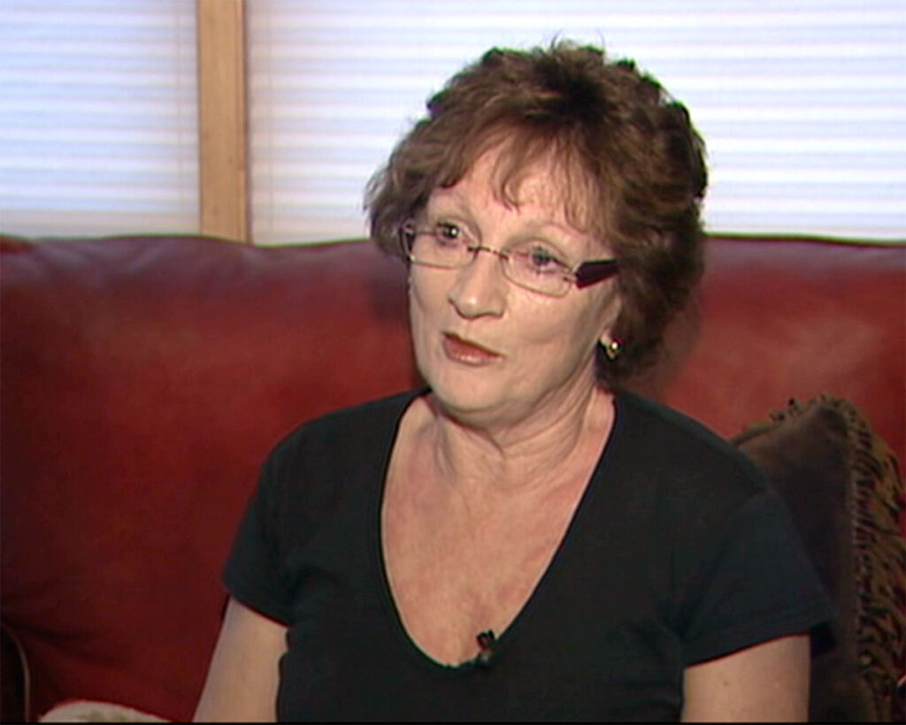
Marilyn Koolstra speaks to KSL-TV on Aug. 11, 2011 about her missing husband, Australian trekker Eric Robinson.
Still, Marilyn felt reluctant. She’d been trained in her professional role as a school teacher and administrator not to speak directly to the press. Australia’s Department of Foreign Affairs and Trade had also supplied her with a pamphlet that urged caution in dealing with the American news media.
“So I was a little bit cautious,” Marilyn said.
She agreed to sit for an on-camera interview with KSL-TV. Her daughter, Rachel, watched as Marilyn fielded questions about her relationship with Eric and her feelings about his disappearance.
“She sat there and spoke with her whole heart,” Rachel said. “This felt like real action, particularly having her there to speak to, ‘Hey, this is my husband. This is our family member. Yes, he’s an Australian but please help us.’”
The final photograph of Eric Robinson
Marilyn’s courage in speaking out had an immediate impact. On that same day, Thursday, August 11, 2011, a man named Carmie Hull contacted the Duchesne County Sheriff’s Office to report having seen Eric at Fox Lake on Saturday, July 30.
“[Hull] indicated that he spoke with Eric Robinson and he seemed to be in good sprits [sic] and excited to finish his hike,” Duchesne County Chief Deputy Dave Boren wrote in an official report.
Hull provided Duchesne County with two photos he’d taken of Robinson, showing him squinting into the morning sun while holding a mug of tea. The sheriff’s office distributed the photo to the news media, in the hopes of generating additional tips.
Australian hiker Eric Robinson is shown at his campsite near Fox Lake in Duchesne County on July 30, 2011. Photo: courtesy Duchesne County Sheriff’s Office
That sighting of Eric was very stale, nearly two weeks old. It helped narrow the search area, but not by much. Fox Lake sat near the eastern edge of the High Uintas Wilderness Area. Eric had planned to exit from the western edge, at the Highline Trailhead on the Mirror Lake Highway, roughly 60 trail miles distant.
A signboard map at the Christmas Meadows Trailhead showing access points and wilderness boundaries for the High Uintas. Photo: Dave Cawley, KSL Podcasts
Access to all points in between was complicated by a lack of roads. Searchers heading into the area to look for Eric had to either walk long distances, take horses or by flown in and out by helicopter.
New Roads to the Uinta wonderland
Only two paved roads cross the Uinta Mountains today. Utah State Route 150, also known as the Mirror Lake Highway, crosses the far western edge of the range and is the primary recreational access for many people visiting from Salt Lake City.
U.S. Highway 191 sits near the eastern edge, connecting Vernal, Utah to Rock Springs, Wyoming. To understand why no paved roads cross the Uinta crest between these two points, one must look a century back in time.
Public awareness of the Uinta Mountains began to grow following World War 1, when a surge in vehicle ownership allowed people to more easily explore areas farther from home. Against that backdrop, the U.S. Forest Service proposed constructing a road into the “Grandaddy Lakes” region of the Uinta Mountains.
Newspaper publishers seized on the idea, with writers penning articles full of superlatives about the “limpid lakes crystal in their settings of verdure” and other attractions of the infrequently visited Uintas.
“Accessible all this is now only to the intrepid wanderer who goes out into the open and braves inconveniences and even dangers,” J.R. Kennard wrote in an October 7, 1922 article for the Deseret News.
Article from Oct 7, 1922 Deseret News (Salt Lake City, Utah)
The road proposed by the Forest Service would allow vehicles to access high terrain dotted with lakes and covered in thick pine forest, at that time still relatively untouched by human impact.
“What if this riot of the big outdoors were made available to all who dwell in crowded places,” Kennard wrote. “It has been said that the canyons the route would make available would furnish sites for summer homes illimitable—a first class summer home site for every family in Utah and plenty of room for New Yorkers.”
The Forest Service and Utah State Road Commission began construction on that road in 1923. The first section, completed two years later, followed the course of the Provo River to its headwaters. In the years immediately following, the road was extended to Mirror Lake, at the headwaters of the Duchesne River.
Opposing forces were developing within the ranks of the Forest Service during this time. A growing number of rangers, including some with prominent voices such as Aldo Leopold, advocated for a more conservation-minded approach to forest management.
Forest supervisors overseeing the Uinta Mountains foresaw a bleak future where all of the range’s high-elevation meadows might be pierced by roads. To counter this, they proposed the creation of a “primitive area” protecting the core of the range. Motor vehicles and road building would be banned within the bounds of the primitive area.
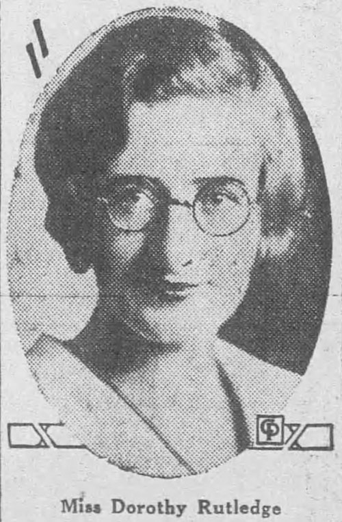
In September of 1930, a Forest Service official named R.H. Rutledge led a party on an 8-day trip to define and survey the boundaries of the proposed primitive area. Rutledge invited his 19-year-old daughter, Dorothy Rutledge, to accompany the group on horseback.
Dorothy Rutledge, pictured in an Oct. 22, 1930 Butte Daily Post article describing her travel through the High Uinta Mountains. Photo: courtesy Newspapers.com
Dorothy Rutledge wrote an account of the experience, and portions of her story were published in the Deseret News and Ogden Standard-Examiner newspapers.
“Acquaintance with the High Uintas is a priceless experience,” Rutledge wrote.
The party traveled counter-clockwise from Mirror Lake, through the Grandaddy and Brown Duck Basins to Moon Lake. There, the group resupplied before heading east and north, up the Yellowstone River to the foot of Kings Peak, the highest point in Utah.
“That night the water froze in the water bucket, and my chaps turned white with frost,” Dorothy wrote.
An aerial view of Dead Horse Pass, taken from Chopper 5 on July 19, 2023. Photo: Dave Cawley, KSL Podcasts
From that point, Dorothy and the others traveled west along the path of the modern-day Uinta Highline Trail, crossing Porcupine and Red Knob Passes before camping in the West Fork Blacks Fork drainage, at the foot of Dead Horse Pass.
“When I thought of the five horses that have rolled to their death down that slope, I was not a little worried,” Dorothy wrote. “The trail soon got so dangerously narrow and steep that we dismounted and led our horses the rest of the way.”
Article from Sep 28, 1930 The Ogden Standard-Examiner (Ogden, Utah)
The expedition, and Dorothy’s article, proved to be a public relations success. The U.S. Forest Service formally created the High Uintas Primitive Area in 1931, barring further road construction in the heart of the range. Those protections were strengthened, and the area covered by them expanded, with the signing of the Utah Wilderness Act of 1984.
Eric Robinson versus the High Uintas Wilderness
The wildness of the High Uintas drew Eric Robinson halfway around the world to walk that same path. But the dangers Dorothy Rutledge highlighted in her 1930 article were much the same by the time Eric arrived in 2011.
Forest Service signs today warn visitors to expect “the challenges and risks of changing weather, rugged terrain, and other natural hazards” within the High Uintas Wilderness Area. Eric carried what he believed were the necessary tools to deal with these challenges and hazards. His family knew him to be competent and experienced in mountain trail.
Marilyn Koolstra explained all of this in her TV news interview just hours after arriving in Utah to join the search in 2011.
“It’s a bit hard to remain positive after four days, and knowing the kind of person that he is,” Marilyn said. “When I think about it, I can go to the dark side. What if, and where is he and what’s happened?”
The Tyranny of Distance – Eric Robinson on the Uinta Highline Trail
By Dave Cawley, KSL Podcasts
Episodes 1and 2 traced the origin of Eric Robinson’s motivation to hike challenging trails, and to venture out alone after the death of his closest trekking buddy.
Eric’s wife, Marilyn Koolstra, felt an increasing sense of concern for her husband’s welfare. What would Eric do if something went wrong while he out of contact in the wilderness?
“That was my concern,” Marilyn said. “I was saying, ‘So far you’ve walked by yourself. Maybe you can’t go by yourself anymore.’”
But Eric was undeterred. Shortly after returning home from a trek in Nepal in October, 2010, he started making plans to hike a pair of challenging trails in North America: the Uinta Highline Trail in the state of Utah, and the West Coast Trail on Vancouver Island in British Columbia, Canada.
The Uinta Highline Trail
The Uinta Highline Trail is long-distance hiking route that parallels the backbone of the Uinta Mountains. The Uintas are a rare range in North America, as they are oriented east-west rather than north-south. This means hikers on the Highline travel either eastbound or westbound. The length traveled can vary depending on where one starts or ends. The longest version, crossing from McKee Draw on U.S. Highway 191 to the Highline Trailhead on Utah State Route 150, totals more than 100 miles (160+ kilometers).
Eric planned to walk a shorter variation, beginning at Chepeta Lake going westbound. He allotted 10 days to travel roughly 65 miles (105 kilometers) to the western terminus on SR 150, also known as the Mirror Lake Highway.
At first, Eric tried to convince Marilyn to join him on this trek. He was 64, and retired, with an open schedule. Marilyn, by contrast, worked as a primary school principal, with a staff, students and community that depended on her. Eric suggested she should retire as well, so she’d be free to accompany him on his hikes.
“I resisted his hints to retire,” Marilyn said. “I was still energetic, passionate, involved in my teaching.”
Last light of day catches the high terrain above Fox Lake in the High Uintas Wilderness Area on July 28, 2023. Photo: Dave Cawley, KSL Podcasts
With Marilyn opting out, Eric next turned to his friend, Julia Geisler. Eric had met Julia on the John Muir Trail in 2006. In the five years since, Julia had moved to Park City, Utah. That put her close by the western terminus of the Uinta Highline Trail.
“He invited me to come with him,” Julia said. “I opted not to.”
Julia had recently started a new business that demanded much of her attention. She could not spare the time.
“I just said, ‘I don’t think the timing is great right now.’ And he respected that, but was like, ‘Well, I’m coming,’” Julia said.
Eric Robinson was determined to walk the Uinta Highline Trail, even if that meant going alone.
Eric Robinson departs Melbourne
Marilyn Koolstra drove her husband Eric to the Melbourne Airport for his departure flight on July 21, 2011. After he’d checked his bags, they lingered in the concourse, sipping cups of tea and holding hands.
“We sat there for an hour,” Marilyn said. “It was always a warm farewell. Eric had always warm hands. You could count on that. It’s kind of a thing that I liked.”
When the time at last arrived for Eric to leave, he smirked and told Marilyn to behave while he was away. Then, they stood, embraced and parted ways.
“He went off through the gate and I went home. And later that day, the beautiful bunch of flowers that he’d always organized before he left on any trip arrived.”
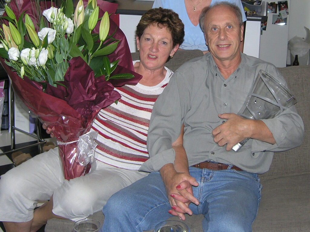
Marilyn Koolstra and Eric Robinson hold a crystal vase they received as a wedding present in 2005. Photo: courtesy Marilyn Koolstra
Eric’s travel took him from Melbourne to San Francisco, California, then on to Utah where he spent a few days catching up with his friend, Julia Geisler.
“It was just a really uplifting, upbeat time that he was here,” Julia said.
Julia had started rock climbing in the five years since she’d last seen Eric, and invited him to accompany her to an outdoor climbing area in the Uinta Mountains, near the end of the Uinta Highline Trail. Although it was late July, summer in the northern hemisphere, significant amounts of snow lingered in the mountains.
“We were bundled up,” Julia said. “There was a lot of snow that year.”
A big snow year in the Uintas
The Uinta Mountains rise to elevations above 13,000 feet (3,960 meters) above sea level. During the winter months, snow collects on the rocky slopes and in the alpine basins. With the coming of spring in the northern hemisphere, most if not all of that snow melts, feeding creeks and streams.
Most hikers on the Uintas Highline travel during July, August or September, when snow has melted out of the high-elevation terrain. Outside of that window, portions of the trail may be covered by high-angle snowdrifts that require special skills and equipment to cross safely.
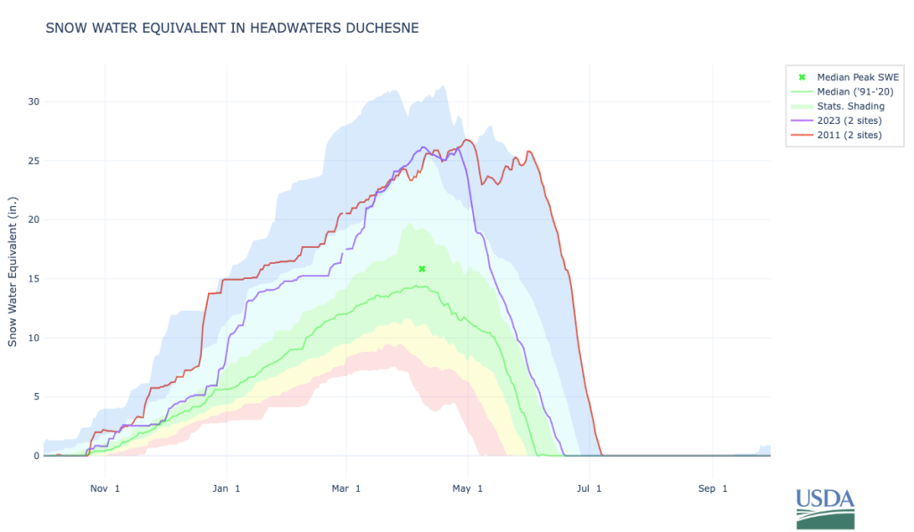
Eric was aware of this and planned accordingly. He arranged his hike for the prime window, at the end of July and start of August. However, Eric was likely not aware that the winter of 2010-2011 had been abnormal in the Uinta Mountains. It was a double whammy of high snowfall and a later-than-usual start to the snowmelt.
This graph shows snow water equivalent, a measure of how much water is contained in snowpack, for the headwaters of the Duchesne River in the Uinta Mountains. It indicates the snowpack in 2011 was abnormally deep, and it did not melt out until much later than usual. Photo: U.S. Department of Agriculture Natural Resources Conservation Service
This meant snowdrifts still covered portions of the Uinta Highline Trail near three of the passes along Eric’s intended route: Anderson, Dead Horse and Rocky Sea.
“Eric hated the snow, growing up in cold Scotland,” Marilyn Koolstra said. “He wasn’t a skier and he would not even contemplate a skiing holiday. But walking through the snow to get from one place in the wilderness to another, that was tempting.”
Early on the morning of July 28, 2011, Julia dropped Eric off at a bus stop in Park City, Utah.
“I was like, ‘I’ll see you in 10 days at the Highline Trailhead on the Mirror Lake Highway,’” Julia said.
Eric planned to take the bus to the city of Vernal, where a local guide he’d hired would ferry him to the Chepeta Lake Trailhead in the Uinta Mountains to start his hike.
“That’s the last time I saw Eric, was dropping him off at that bus stop,” Julia said.
Eric Robinson goes silent
Marilyn Koolstra did not expect to hear from Eric until he emerged at the far end of the Uinta Highline Trail, so it did not concern her when his text messages ended of July 28. Several days later though, she awoke in the middle of the night in the home she and Eric shared in the suburbs of Melbourne.
“I woke up in the middle of the night here with an awful sense of being alone,” Marilyn said.
She couldn’t think of a rational reason why this would’ve stirred her from sleep.
“I don’t usually feel alone. I can be alone, but I don’t feel alone and lonely,” Marilyn said. “I’m thinking, ‘Oh, he’s away. I’m in the house by myself.’ And I dismissed it because I needed to have a bit more sleep so that I could function well in the day.”
Several days later, Julia Geisler and her partner Blake Summers drove up the Mirror Lake Highway to meet Eric at the end of his hike. They’d arranged to rendezvous at the Highline Trailhead at noon on Sunday, August 7, 2011. When Julia arrived there, she did not find Eric waiting.
“We hiked out the trail a little ways, [he was] still not there,” Julia said. “I don’t think we were overly concerned.”
The upper Rock Creek drainage, as seen from the top of Rocky Sea Pass on the Uinta Highline Trail on August 4, 2023. Eric Robinson would’ve needed to cross this pass to complete his trek. Photo: Dave Cawley, KSL Podcasts
That changed as the afternoon hours ticked passed with no sign of Eric. Julia and Blake drove down off the mountain to get dinner, then returned to the trailhead around 6 p.m. Still, Eric had not arrived.
Julia hoped her Australian friend was still working his way toward the end of the trail, but decided the best course of action was to report him missing. She drove home and called the Summit County Sheriff’s Office to report Eric overdue.
Feeling alone
Julia also realized she needed to notify Eric’s wife, Marilyn, but realized she did not have Marilyn’s phone number. Instead, Julia and her friend Devon McClive turned to Facebook in an effort to reach Marilyn.
Devon sent Marilyn a message in the overnight hours of Sunday into Monday.
“It seems like Eric is the type who waits out weather and does not rush things, so hopefully everything is ok,” Devon’s message read. “The search and rescue team had not received an emergency alarm that would have been sent off if Eric had used his beacon device.”
Because of the time difference between Utah and Victoria, Marilyn received Devon’s Facebook message the evening of Monday, August 8, 2011.
“I’d come home from work and that’s sort of when it all eventuated,” Marilyn said.
Marilyn called Julia, who said she planned to return to the Highline Trailhead at first light to continue waiting for Eric. An official search and rescue mission would likely launch at the same time.
A sinking feeling hit Marilyn. She recalled how she’d come awake feeling alone several nights earlier.
“It was not until I got that call that Eric was missing that I felt, that I made a bit of a connection,” Marilyn said. “There was an emptiness once that phone call came through, linking it to my aloneness in the middle of the night. I didn’t feel that I was bringing my warm-handed Eric back.”
Aspiring – Close call on Cascade Saddle
By Dave Cawley, KSL Podcasts
In episode 1, we learned about the three great wounds of Eric Robinson’s life and how friends helped him find solace from his grief in nature.
The wounds fueled Eric’s drive to get outside and hike, and that motive went well beyond the bounds of a simple hobby. Hiking gave Eric’s life a sense of purpose. Over time, he built a strong base of experience in mountains all around the world, a competence that gave him confidence to venture out alone.
Eric Robinson relaxes with a book during a hike on Scotland’s Cape Wrath Trail in August, 2008. Photo: Eric Robinson
But Eric’s trekking experience didn’t begin solo. During a pivotal period of his life, he shared trails with a coworker and friend named Alan Beck.
Eric Robinson and Alan Beck
Eric and Alan met through work, as they both worked for the company Carter Holt Harvey in the late 1990s.
“They had a bit of a reputation in the lunch room and in the workplace of being those nutter outdoor people,” Eric’s wife Marilyn Koolstra said. “The two of them over lunch breaks would conjure up places … and off they would go together.”
Alan was a New Zealander, and 11 years Eric’s junior.
“Alan, being younger, would walk faster. And taller, he had a longer gait,” Marilyn said.
Eric and Alan’s travels took them across portions of central and southeastern Australia, as well as across the Southern Alps of New Zealand. With each outing, their aspirations grew. In 2003, the pair planned a month-long trip to Patagonia.
Eric Robinson and Alan Beck relax during a portion of their trek around Torres del Paine in 2003. Photo: courtesy Marilyn Koolstra
They spent a week of that time hiking a trail called the O Circuit in Torres del Paine National Park. Photos Eric took during the trek show they were lashed with bouts of bad weather. At one point, Alan led Eric up a steep slope to the base of a snow drift.
“Eric hated the snow, growing up in cold Scotland,” Marilyn said.
Alan had experience mountaineering that went beyond Eric’s comfort and skill level. Going off trail, through talus and scree, was beyond the trekking Eric’d done previously. At Alan’s urging, he braved the snow.
Alan Beck poses in front of a Torres del Paine snow field, while Eric Robinson attempts to join him. Photo: courtesy Marilyn Koolstra
“That was probably the highlight of their first foray into mountaineering, glacial snow places together,” Marilyn said. “When he came back, he was so full of this beautiful place, ‘cause the rock formations, the snow, the animals, the plains, the Chilean people. He was waxing lyrical about this for months on end.”
At one point, Eric told Marilyn that when he died, he wanted his ashes split into three portions. One should be buried with his mother in Scotland and another scattered in the Grampian Mountains of Victoria.
“And, ‘Get Alan to take some ashes and scatter them in the Torres del Paine National Park.’ That’s how significant that trip and hike up the Gray Glacier was with him.”
Marilyn promised to honor Eric’s wish, as the two married in March of 2005.
Friendships on the John Muir Trail
Eric’s profound experience in Patagonia prompted another grand adventure with his friend Alan in 2006. The duo flew to the United States to hike the John Muir Trail. Their itinerary would carry them from the heart of Yosemite National Park south along the High Sierra, to Mt. Whitney, the highest point in the lower 48 states.
“Alan and Eric were very social on that trip,” Marilyn said.
One of the people Eric and Alan met near the start of the journey was a woman in her early 20s named Julia Geisler.
“I was on the Travel-the-World-Plan and I wanted to do some backpacking,” Julia said. “I had a friend, Devon McClive, who wanted to join me.”
Morning mist rises over Tuolumne Meadows in Yosemite National Park on June 27, 2024. Photo: Dave Cawley, KSL Podcasts
Julia and Devon were both single and out for adventure.
“We’re going to go into the woods and we’ll probably meet some hot young dudes and get to hike with them,” Julia recalled. “Then we met Eric and Alan.”
At the time, Alan was 48 and Eric was 59. Over the course of several days on the trail, Eric, Alan, Julia and Devon merged into what some hikers might call a “trail family.”
“You kind of move along at similar paces,” Julia said. “It’s a pretty intimate experience being out in the woods with folks.”
However, the weeks in close proximity strained Eric and Alan’s friendship. On his return, Eric told his wife Marilyn they’d had a falling out.
“Eric would say, ‘He’d just charge off and I wouldn’t know what was going on.’ And Eric liked to know what was going on,” Marilyn said. “It was, ‘I’m not going to hike with him ever again.’”
Eric Robinson’s retirement
Eric turned 60 in March of 2007. He informed Marilyn he intended to retire, so he’d have more time to trek ambitious trails all around the world.
“He wanted to travel and walk as long as he could carry his backpack and I was not able, nor willing, to take time out of work,” Marilyn said. “So we had an understanding, if he wanted to go and hike somewhere, he would do that.”
Without his friend Alan Beck to accompany him though, Eric resorted to hiking alone. His first major solo experience came in early 2008, when Eric traveled to Te Waipounamu, the South Island of New Zealand. He’d arranged to do several ambitious hikes, beginning with a tough route over the Cascade Saddle between the Dart and Matukituki Rivers.
Topographic map view of the upper Dart River and the Cascade Saddle, a difficult and hazardous hiking route. Image courtesy Land Information New Zealand.
Eric carried a new digital camera on this journey, a Pentax K10D DSLR. His photographs show his path as he traveled up the Rees River, crossed the Rees Saddle, and descended along Snowy Creek into the valley of the Dart River.
The view looking up Snowy Creek from a bridge crossing between Rees Saddle and the Dart River, as it appeared on February 27, 2008. Photo: Eric Robinson
At the Dart, Eric turned right and headed upstream toward the Cascade Saddle. An intense storm system was at the same time blowing in off the Tasman Sea, crashing into the Southern Alps. Torrential rain fell.
Ominous skies are not uncommon above the Dart River, as seen here on January 24, 2024. Photo: Dave Cawley, KSL Podcasts
Eric failed to arrive at the far end of the route.
Eric Robinson overdue on Cascade Saddle
Alan Beck, Eric’s estranged hiking buddy, also happened to be in New Zealand at the time, preparing for a mountaineering ascent of Tititea/Mount Aspiring.
“One night I got a phone call from Alan, which was most unusual,” Marilyn said. “He said, ‘I don’t want to alarm you, but Eric is overdue on the walk. He wasn’t come in.”
Alan notified New Zealand’s Department of Conservation, while Marilyn reported her husband missing to Australia’s Department of Foreign Affairs and Trade. Concern for Eric’s welfare began to mount.
A day-and-a-half later, Eric stumbled into the Aspiring Hut alongside the Matukituki River.
Eric Robinson’s ruby red backpack sits next to a pylon atop the Cascade Saddle, as Tititea/Mt. Aspiring sits shrouded in cloud on the horizon on March 2, 2008. Photo: Eric Robinson
“Eric had just waited out in his tent with the rain,” Marilyn said. “Eric smiled and it was a bit of a laugh about how people worry about the weather, about people’s ability to cope. He wasn’t at all concerned.”
Marilyn felt differently. She’d spent two anxious days worried about his safety, not knowing if he might’ve been injured or killed. Eric dismissed her concerns.
“And I was saying, ‘Well, so far you’ve walked by yourself. Maybe you can’t go by yourself anymore,’” Marilyn said.
The death of Alan Beck
Eric met up with Alan in the tourist town of Wanaka after his delayed return from the Cascade Saddle trek. Alan invited Eric to join his climbing party for the ascent of Mount Aspiring.
“Eric goes, ‘Oh no, I don’t think I want to do that. I’m not experienced in that. It’s a young person’s thing. It’s Alan’s thing. I don’t think I’m going to do that,’” Marilyn said.
Alan took the rebuff in stride, and promised to reunite with Eric again after coming off the peak in a few days. The two friends then parted, with Alan boarding a helicopter as Eric headed out on another hike, in the Wilkin Valley.
Topographic map view of Tititea/Mount Aspiring and the Bonar Glacier. Image courtesy Land Information New Zealand.
Alan Beck and his climbing partner, Andy, arrived at the Collin Todd Hut on the northwest ridge of Mount Aspiring on March 3. They attempted to climb the peak the following day, but were driven back by bad weather. Alan and Andy made a second attempt on March 6, but were once again foiled.
On March 7, Alan and Andy, along with two other hikers, decided conditions would not allow them to make the summit. The weather would also prevent helicopters from retrieving them from the hut. Their only escape route was to trek across the Bonar Glacier and descend into the Matukituki River Valley by way of Bevan Col.
Tititea/Mount Aspiring, as seen from Cascade Saddle. Photo: Eric Robinson
The four climbers began crossing the ice and were partway across when a white-out blizzard descended. Alan set up a tent and the group took shelter there. Conditions didn’t improve. Two days later, Alan stepped out of the tent into the storm to try and scout a path off the glacier to Bevan Col. He didn’t return.
Meanwhile, Eric arrived back in Wanaka to learn a search and rescue mission was underway for Alan.
“Eric called me and he was extremely upset,” Marilyn said. “I had to keep asking, ‘What did you say? Tell me that again. Explain what happened.’”
The searchers eventually found Alan Beck’s lifeless body, scooted back beneath an overhang of ice. A coroner’s inquest later determined Alan had slipped on ice and fallen into a schrund. The impact caused severe chest and head trauma that cost Alan his life.
A printed program for Alan Beck’s celebration of life memorial. Photo: Dave Cawley, KSL Podcasts
Alan’s death deprived Eric an opportunity to mend fences with his friend.
“He knew that he wouldn’t be doing such trips ever again with somebody that really had the same passion,” Marilyn said.
Eric’s insistence on going solo
Eric did not allow Alan’s death to dissuade him from adventuring outdoors. Only months later, he traveled alone to Scotland to hike the Cape Wrath Trail. In early 2009, he tackled the South Coast Track in Tasmania.
Eric Robinson captured this scene with his Pentax camera along Tasmania’s South Coast Track during a solo hike in February and March, 2009. Photo: Eric Robinson
Marilyn and her children, meanwhile, were growing increasingly uncomfortable with Eric’s insistence on trekking solo.
“He was hopeful that I would retire earlier and join him on some of those walks that he wanted to do,” Marilyn said. “But I was still energetic, passionate, involved in my teaching chores.”
Marilyn was by this point serving as principal at Valkstone Primary School, a career position that demanded a great deal of her time and attention. She could only travel with Eric over holiday weekends or breaks in the school schedule.
Death in Nepal
They arranged to visit Nepal together in late 2009, and spent a few weeks trekking the Annapurna Circuit. The route required crossing Thorong La, a mountain pass over 17,700 feet (5,400 meters) above sea level.
Eric Robinson stands atop a snowy Thorong La on the Annapurna Circuit in October, 2009. Photo: Marilyn Koolstra
“He hadn’t really done anything of that altitude before, either,” Marilyn said. “Neither had I.”
Eric returned to Nepal a year later, joining an expedition for a trek over Mera La. Crossing the pass, and attempting to reach the summit of Mera Peak, would require Eric to confront his dislike of snow. The expedition leaders held a training session below the pass, allowing Eric to gain his first experience wearing crampons and carrying an ice ax.
Eric Robinson practices mountaineering with rope, harness and crampons in Khare, below Mera La in Nepal on October 7, 2010. Photo: courtesy Marilyn Koolstra
During the journey, Eric witnessed one of the party’s hired porters become ill from altitude sickness and die.
“When I picked him up from the airport, he was still in a great state of agitation and distress,” Marilyn said.
The Uinta Highline Trail
When Eric told Marilyn only a short time later that he intended to once again head out solo, to hike a trail in the United States called the Uinta Highline Trail, she felt strong misgivings.
“We also talked about the safety angle of that,” Marilyn said. “We then started talking about strategies of what you would do [in case of an accident], ‘But preferably Eric, not walking by yourself.’”
To assuage her concerns, Eric purchased an EPIRB (emergency position indicating radio beacon). The SOS device would allow him to summon help via satellite if he ran into trouble he couldn’t overcome.
Eric Robinson’s EPIRB personal locator beacon. Photo: Dave Cawley, KSL Podcasts
But that device remained silent when Eric traveled to the United States alone, headed into the High Uintas Wilderness and failed to return.
Overdue – The Disappearance of Eric Robinson
By Dave Cawley, KSL Podcasts
Eric Robinson loved to hike. He found happiness in the mountains. Over the course of his life, Eric trekked some of the world’s most stunning trails.
Eric Robinson poses for a photo near Mera Pass in Nepal during a trek in 2010. Photo: courtesy Marilyn Koolstra
A meticulous planner, he always carried the essentials. He hauled everything he needed to survive a mishap or find his way if lost. So when Eric Robinson disappeared while on a solo hike in 2011, it shocked the people who knew him best. If anyone can survive in the wilderness, it’s Eric, friends and family thought. They believed he would emerge in his own good time, with a story to tell about the reason for the delay.
A missing persons flier for Australian trekker Eric Robinson. Photo: Dave Cawley, KSL Podcasts
Hours stretched into days, then days became weeks. Searchers did not find any sign of Eric.
The Uinta Triangle
I first learned of the search for Eric as it was unfolding. It caught my attention for a few different reasons. I was working as a radio news reporter at the time, and I’d covered many other missing hiker stories. Eric’s seemed different, because of his extensive experience and detailed preparation.
More importantly, I knew a bit about the trail Eric was traveling when he disappeared. It traversed a wilderness area, far from roads or assistance in the case of any emergency. It’s an area I’d come to think of as the Uinta Triangle, a place where most people come and go without trouble, but where some vanish without explanation.
Most missing persons cases resolve quickly. Eric Robinson’s did not. Months became years and still, no answers emerged about his whereabouts. I continued to follow the case. Over time, I came to know Eric’s wife, Marilyn Koolstra, who shared the personal details of her experience searching for her husband in a land far from home.
Uinta Triangle is the story of the search for Eric. It’s an adventure journal, an investigation, a memoir and a love story.
Marilyn Koolstra and Eric Robinson sit together on a special occasion. Photo: courtesy Marilyn Koolstra
“It’s a story of a missing person, but it’s also a legacy to that person for the love of what they did,” Marilyn said.
Who is Eric Robinson?
Before getting into the specifics of Eric’s disappearance, it’s important to understand a bit about the man himself and what motivated his wanderlust.
Eric Robinson was English by birth, Scottish by upbringing and Australian by choice. His parents, Victor Robinson and Margaret Walkingshaw, met during World War II, when they were both stationed at Stromness in the Orkney Islands. They married on July 1, 1944, just weeks after D-Day.
After the war, Victor and Margaret Robinson moved to a cottage near Victor’s home town of Ross-on-Wye in England. There, on March 19, 1947, the young couple welcomed their first and only child, a boy who they named Eric Joseph Robinson.
A young Eric Robinson stands next to a chair. Photo: courtesy Marilyn Koolstra
A little over a year later, Eric’s father Victor died unexpectedly in a motorcycle accident. A September 9, 1948 newspaper article stated Victor, along with his father and brother, were walking home from a movie after dark when the motorcyclist came around a bend and collided with Victor.
An inquest faulted Victor, 25, for being on the wrong side of the road when hit by the motorcycle. He never regained consciousness and died two days later.
Article from Sep 9, 1948 The Citizen (Gloucester, Gloucestershire, England)
Shortly after Victor’s death, Eric’s mother Margaret moved away from Ross-on-Wye and cut herself of Victor Robinson’s family. She raised their son in her hometown of Glencraig, Scotland.
“[Eric’s maternal] grandfather owned a few of the houses and he would go with his grandfather to collect the rent,” Marilyn said. “It was not a very wealthy existence.”
Eric Robinson poses with a book as an adolescent in Scotland. Photo: courtesy Marilyn Koolstra
Eric’s mother Margaret did not tell him what’d happened to his father as he grew, and she soon remarried to a man named William Copeland.
“And it was not a happy one,” Marilyn said. “It was alcoholism and family violence.”
Eric Robinson moves to Australia
William Copeland, like many of the residents of Glencraig and surrounding areas, made a living in the coal mining industry. Economic shifts in the 1950s led to a collapse of that industry in Scotland. Copeland responded by packing his little family up and moving them to Australia in search of work.
“They emigrated as what we call in Australia Ten Pound Poms,” Marilyn said.
Emigration records show William Copeland, Margaret Walkingshaw Copeland and her teenage son, Eric Robinson, arrived in Sydney in February, 1963. They soon relocated to Melbourne, where Eric’s step-father enrolled him in an internship with the firm Ingersoll Rand.
William Copeland walked out on Margaret and Eric soon after settling in Melbourne. Lean years followed for Margaret and Eric, as they scraped out a difficult existence on the verge of poverty.
“[Eric’s] mum set up a dry cleaning business,” Marilyn said. “Eric saw firsthand the difficulties that some women experience in relationships.”
Even in the face of those difficulties, Eric found time to explore his new Australian home.
“His first car was a little Volkswagen Beetle, and he put the surfboard on the car and slept down the Surf Coast each weekend and back again,” Marilyn said. “He was a mad keen surfer.”
Eric Robinson’s first wife
Eric met a young woman at a rock-and-roll dance on the outskirts of Melbourne in 1966. Her name was Helen Petiach. She was a year older than Eric, but the two quickly bonded over their common experience as immigrants.
Helen was born in a displaced persons camp Salzburg, Austria, in January of 1946, just months after the end of World War II. Her parents, Josef and Maria Petiach, were Ukrainian Catholics who’d been forcibly removed from their homes on the Polish frontier by the Nazis during the war. Some records suggest Josef Petiach may have even been interred in the Buchenwald concentration camp.
Helen Petiach’s “displaced person” card. Document courtesy National Archives of Australia
Josef, Maria and young Helen Petiach arrived in Australia as refugees in 1949.
By the time Eric Robinson met Helen Petiach, she’d become a naturalized Australian citizen. Eric and Helen shared an identity as immigrants, which helped bond them together. But the circumstances of their respective upbringings were wildly different, which caused some conflict.
“His relationship with Helen was pretty volatile,” recalled Eric’s good friend, Russ Incoll.
Their courtship progressed to the point Eric proposed marriage, and the couple set a wedding date of August 30, 1969. But Eric soon had second thoughts.
“Eric decided that he didn’t think it was the right thing to do, to get married, and Helen said, ‘Look, if you leave me, I’ll kill myself,’” Russ said. “And then they got married.”
Eric and Helen Robinson, on August 30, 1969, the day of their wedding. Photo: courtesy of Marilyn Koolstra
Eric was deferential to his bride. Although he was neither Catholic, or even all that religious, their wedding took place at the Ukrainian Catholic Cathedral of Saints Peter and Paul cathedral in Melbourne. His deference only served to alienate his mother, Margaret.
So too did Eric and Helen’s decision to move to the suburb of Forest Hill. Margaret found herself living alone, far from her son. She decided to leave Australia and return to Scotland. Eric did not realize he would never see his mother alive again.
The death of Margaret Walkingshaw
Eric went to work for a company called DynaVac in February of 1970, as a “fitter and turner,” or mechanical engineer. The job provided him a solid income for the first time in his life, and also gave birth to many of his lifelong friendships.
On holiday weekends, Eric and his wife Helen would join coworkers on off-roading adventures all across eastern Australia. They camped and went bushwalking, or hiking.
“They had trips across Australia, through the Simpson and the Tanami Desert, up into Central Australia,” Marilyn Koolstra said.
Eric and Helen Robinson pose for a picture on a beach in southern Australia. Photo: courtesy Marilyn Koolstra
In 1973, Eric gained Australian citizenship. He and his wife, Helen, were both fully integrated into their adopted country.
The young couple scraped enough money together for their first overseas vacation in 1974. They planned to visit Eric’s mother, Margaret, in Scotland. But Margaret died unexpectedly from stomach cancer that January, before Eric and Helen departed Australia. Margaret was just 51 years old.
Eric, by age 26, had lost the father he never knew, a stepfather he hated, and the mother he loved.
The birth of Eric Robinson’s new family
Eric’s wife Helen was diabetic. Doctors told the young couple it was unlikely they’d be able to conceive, due to Helen’s illness. But they beat the odds and in May of 1978, they welcomed a baby boy whom they named Glenn Craig.
Eric, Helen and little Glenn continued to explore the bush and backcountry of Australia.
This undated photo, likely circa 1982, shows Eric and Glenn Robinson alongside a four-wheel-drive route in Australia. Photo: courtesy Marilyn Koolstra
Eric felt an ever-deepening connection to the land. He began joining protests against logging of old-growth forests, and in favor of protecting wild places.
Meanwhile, Helen’s health was deteriorating. Her kidneys were compromised and she required daily peritoneal dialysis. Still, she continued venturing out with Eric and Glenn.
That came to an end in May of 1990, when Helen caught infection that turned septic and killed her in a matter of hours. Eric suddenly found himself as a single father to a 12-year-old son, a role he struggled to fill.
In the wake of Helen’s death, Eric’s close friends took him out into the bush as a form of wilderness therapy. He hiked the Overland Track in Tasmania with two close work colleagues, John and Jeanette Sidwell.
Eric Robinson and his friend John Sidwell on a trek through the bush. Photo: courtesy Marilyn Koolstra
“That probably was the first walk that got him back into it, got him going again,” John Sidwell said. “He loved his bush, and he loved hiking and getting out into the bush and wasn’t afraid to be out on his own.”
Eric sought solace in the outdoors from the three great wounds of his life: the early deaths of his father, his mother, and his first wife. From that point on, he held one ambition.
“His mantra was, ‘I’m going to do as many walks as I can, for as long as I can carry a backpack, because there’s more walks than I can achieve in a lifetime out there,'” Marilyn said.
A new romance blooms
Eric met Marilyn Koolstra through an introduction agency, or dating service, a few years later. During their first date, Marilyn told Eric she enjoyed hiking.
“He was rapt that I loved walking,” Marilyn said. “We would always go somewhere at weekends. It was that love of walking, I think, that really drew us into a lot of activities together.”
Their courtship spanned more than a decade, during which they traveled and trekked together all across Victoria, and in New Zealand. A few years after marrying in 2005, Eric and Marilyn spent a month hiking the Annapurna Circuit in Nepal.
Marilyn Koolstra and Eric Robinson stand atop Thorong La in Nepal during a trek in 2009. Photo: courtesy Marilyn Koolstra
But Marilyn wasn’t always available, or willing, to hike with Eric. That was especially true as Eric’s ambitions in the outdoors grew. So he increasingly went out solo.
“We also talked about the safety angle of that,” Marilyn said. “I was saying, ‘Well, so far you’ve walked by yourself. Maybe you can’t go by yourself anymore.’”
But Eric persisted, right up until he failed to return from one solo trek in a place far from home.